
Road · United Arab Emirates
Riders comfortable with a full day of 106.2 km and 866 m of climbing, most of it in the second half.
A 106.2 km loop from Kalba through the Hajar Mountains to the coast at Khor Fakkan and back inland, with 866 m of climbing.
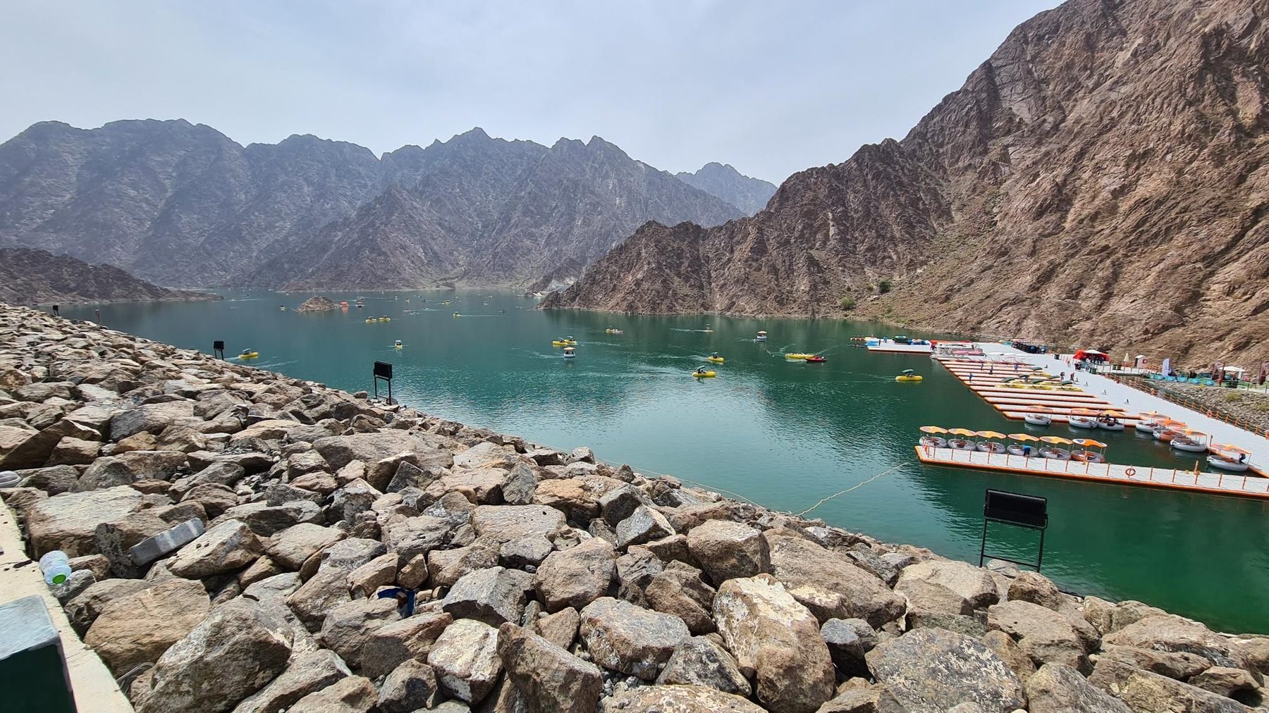
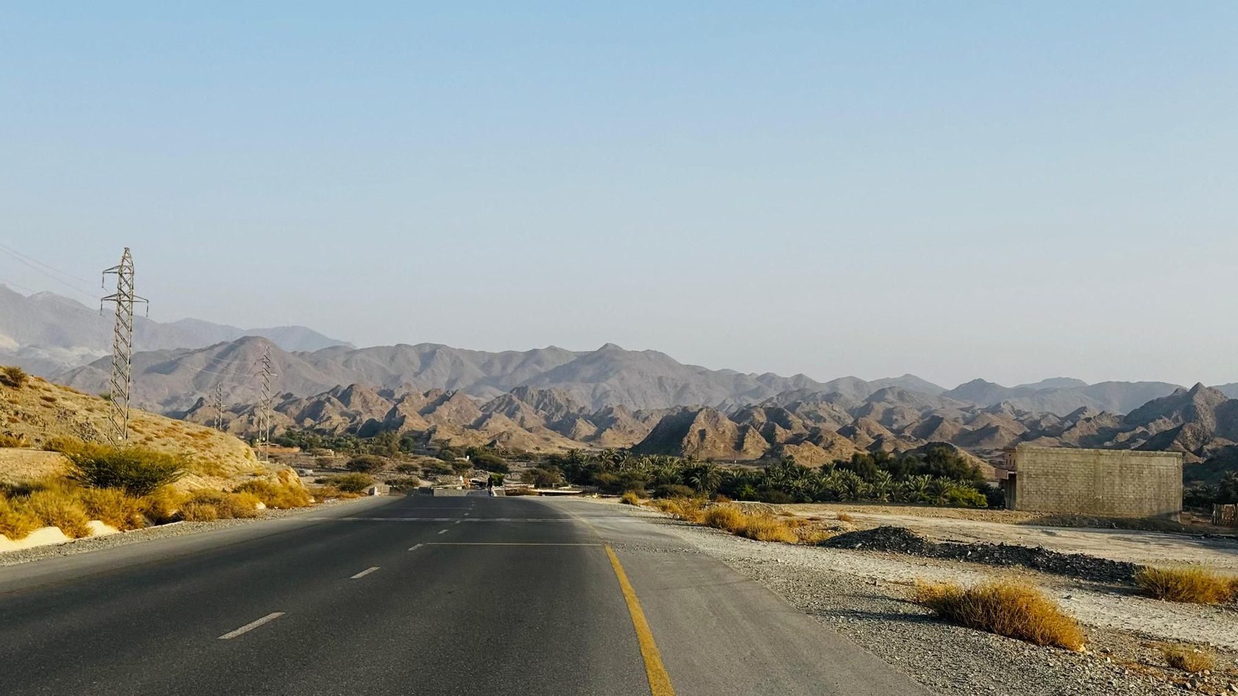
From Kalba the loop runs north through Al Farfar at 10 km and into the first climb, 2.8 km at 3% topping out at 200 m beneath Jabal Muthrad, with Yabsa at the roadside. The road drops to the coastal towns of Sakamkam and Ishwais, passing below Al Jabal Al Ahmar, then continues through Qurayyah at 35 km, where there is fuel, and past Mirbah and Madha. A short 1.7 km rise at 41.5 km leads to a viewpoint at 47.4 km before the route reaches sea level at 48.8 km and enters Khor Fakkan at 49.9 km, the halfway point and the best-supplied stretch of the loop, with cafés, restaurants and two fuel stations. The main climb starts immediately afterwards at 50.9 km: 6.5 km at 4.5%, maxing at 6.3%, to 311 m, with a reservoir observation deck at 55 km. The road then turns inland through the mountains, passing peaks of 745 m, 848 m and 870 m, and Jabal Daftah at 878 m, before Shis and Daftah, where there is drinking water at 75 km. The final third strings together Ghura, Al Bithnah and Madouk, with two closing climbs from 95.2 km and 98.1 km lifting the route to its high point of 366 m at 103.6 km, just before the return to Kalba.
| Starts at | Length | Gain | Average | Max | Top |
|---|---|---|---|---|---|
| 15.2 km | 2.8 km | 82 m | 3 % | 4.4 % | 200 m |
| 41.5 km | 1.7 km | 48 m | 2.8 % | 5.1 % | 63 m |
| 50.9 km | 6.5 km | 291 m | 4.5 % | 6.3 % | 311 m |
| 95.2 km | 2 km | 64 m | 3.3 % | 6.4 % | 217 m |
| 98.1 km | 5.5 km | 132 m | 2.4 % | 4.7 % | 366 m |
Road · United Arab Emirates
Road · United Arab Emirates
Road · United Arab Emirates
Road · United Arab Emirates
Road · United Arab Emirates
Road · United Arab Emirates
Road · United Arab Emirates
Road · United Arab Emirates