
Road · United Arab Emirates
Suits riders comfortable with 71 km and 612 m of climbing, most of it in short, moderate ramps.
A 71.3 km loop from Kalba into the Hajar Mountains via Hatta, with 612 m of climbing and a high point of 436 m.
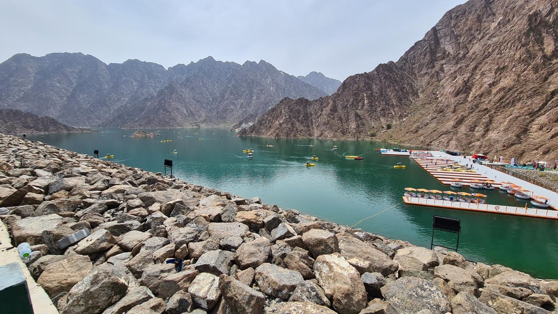
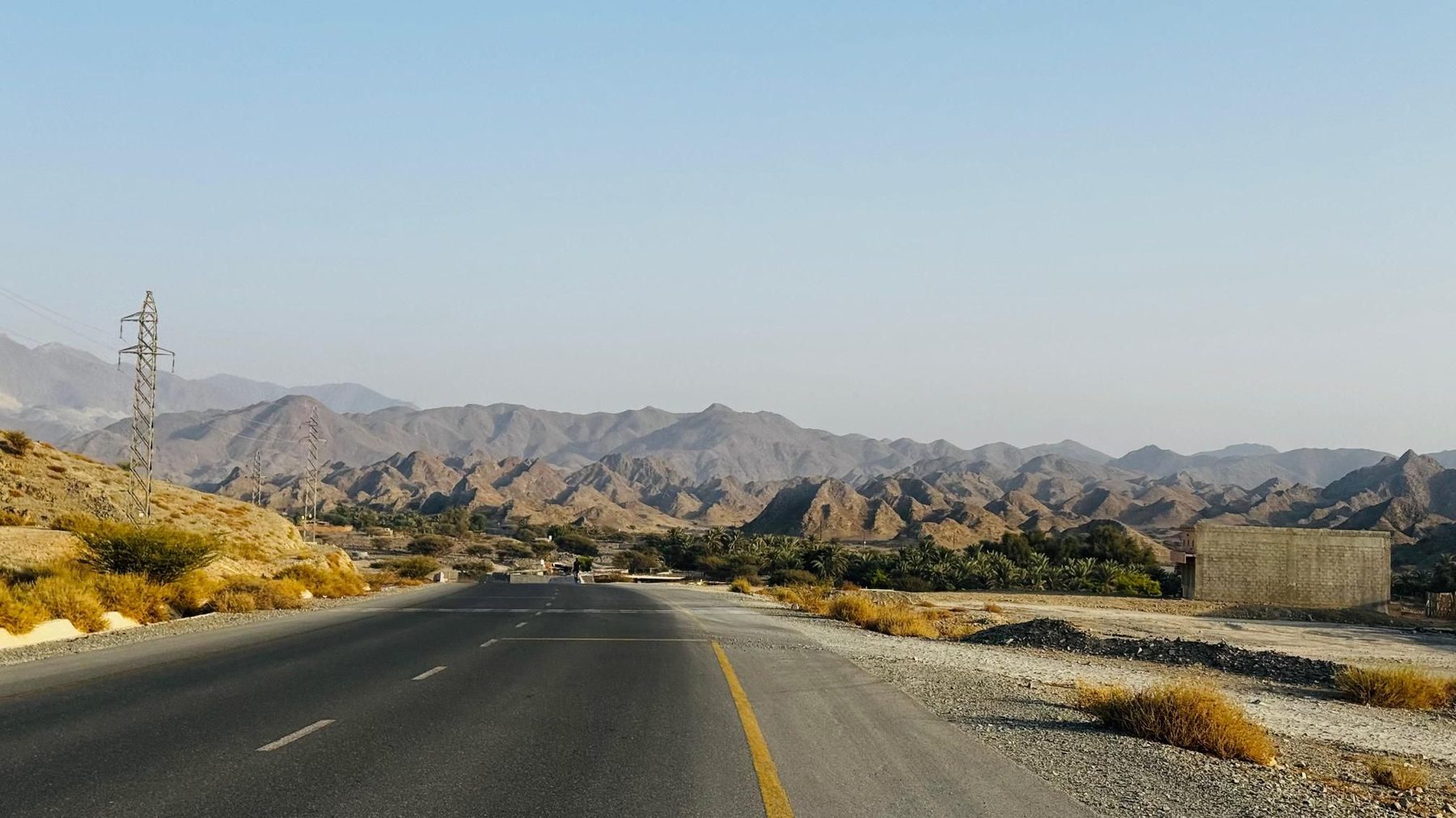
The loop leaves Kalba and runs inland, dropping to its lowest point of 218 m at km 13 near Huwaylat, then passing As Simsimānīyah at km 16.3. From there the first real climbing begins: 3.4 km at 3.9% with a maximum of 9.7%, topping out at 410 m. A viewpoint at km 24.7 is followed a little later by Al Yamm Cafe and drinking water at km 25.5, on the edge of Sufayri. A short, sharper ramp starts at km 28.7 - 1.1 km at 4.7% with pitches to 12.8% - reaching 419 m near Hayl and beneath Jabal Abu Samasimah (550 m). Hatta comes at km 33.2, with restaurants clustered at km 35.5 and 36.7. The route then passes beneath Jabal Laim (420 m) and Jabal Mudayrah (472 m) before the last climb, 2 km at a steady 3% from km 43.8. The high point of 436 m arrives at km 45.9, after which the road tilts downhill through Al Qor, Sha'biyyat Milāḩ, Sikhе̄bar, Al Wa'ab and Munay on the run back to Kalba. Roughly 63% of the total ascent is done in the first half.
| Starts at | Length | Gain | Average | Max | Top |
|---|---|---|---|---|---|
| 16.8 km | 3.4 km | 130 m | 3.9 % | 9.7 % | 410 m |
| 28.7 km | 1.1 km | 54 m | 4.7 % | 12.8 % | 419 m |
| 43.8 km | 2 km | 60 m | 3 % | 4.1 % | 435 m |
Road · United Arab Emirates
Road · United Arab Emirates
Road · United Arab Emirates
Road · United Arab Emirates
Road · United Arab Emirates
Road · United Arab Emirates
Road · United Arab Emirates
Road · United Arab Emirates