
Road · United Arab Emirates
A long day out at 154.9 km, best suited to riders used to big distances and happy to carry supplies.
A 154.9 km loop from Kalba through the Hajar Mountains villages of the northern Emirates, returning along the Gulf of Oman coast.
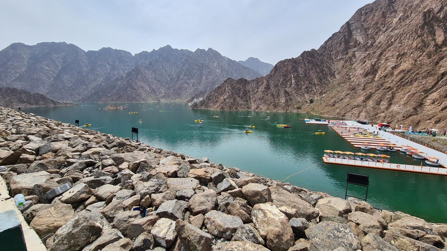
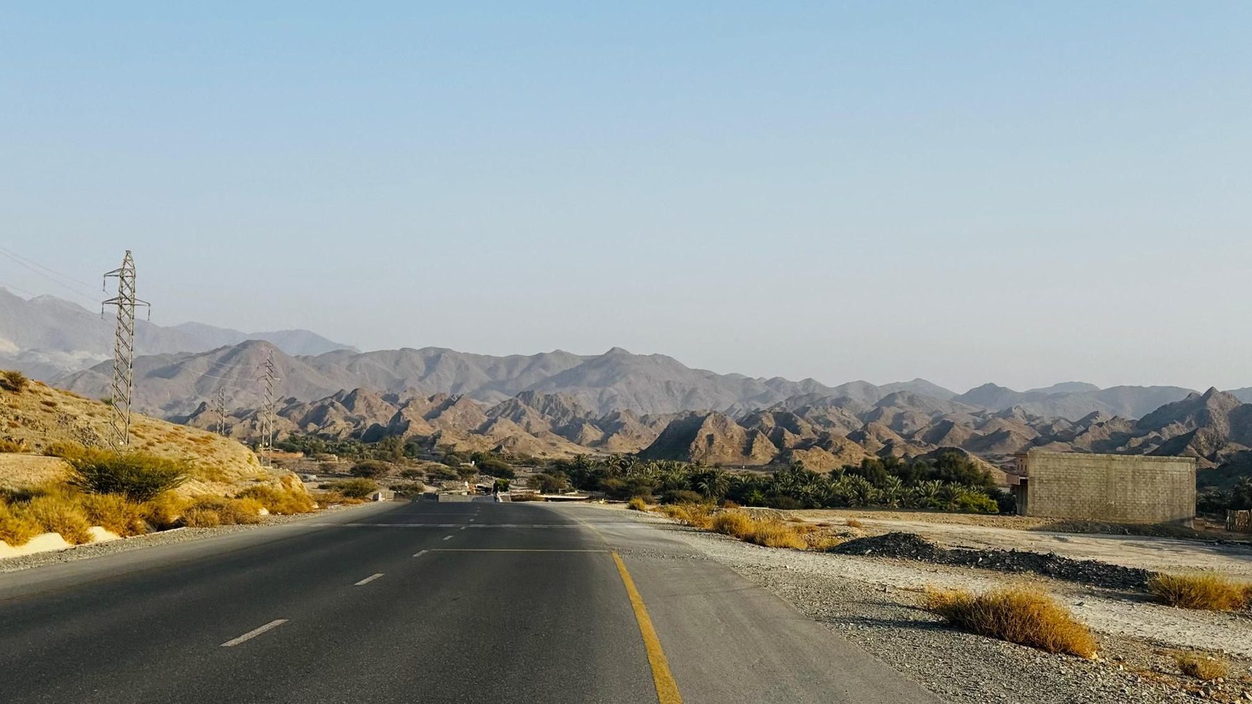
The loop heads inland first, passing Esfini at 9.9 km and running beneath Jabal Ash Shibkah (265 m) before reaching Kadrah at 22.1 km. Shariyah and Shawka follow at around 32.6-32.9 km, where a drinking water point is marked. The road then works through the higher ground of the range, passing Jabal Al Hinnah (637 m) at 37.8 km and Jabal Ash Shahayrah (532 m) at 41.1 km. A string of small settlements comes in quick succession in the middle third: Munay at 54.6 km, Al Qilē'ī, Minazif and Fayyad between 60.9 and 63.5 km, then Harrah and Shia near 67 km, with unnamed summits of 812 m and 826 m standing above the road at 69.3 and 71.1 km. Al Uqdah at 79.5 km leads down towards the coast. From about 86 km the route runs through the built-up strip of Al Saaf, Al Ghail, Khawr Kalba and Kalba itself, where cafés and restaurants are concentrated between 88.6 and 108.5 km. Sakamkam comes at 114.6 km, then the road turns inland again past Jabal Muthrad (380 m), Yabsa, Al Farfar and Madouk, with a viewpoint at 134.4 km and water at 139.5 km, closing through Esfai at 151 km.
Road · United Arab Emirates
Road · United Arab Emirates
Road · United Arab Emirates
Road · United Arab Emirates
Road · United Arab Emirates
Road · United Arab Emirates
Road · United Arab Emirates
Road · United Arab Emirates