
Road · United Arab Emirates
Suited to riders comfortable with 83 km and 711 m of climbing in a single day, with one short steep ramp.
An 83.1 km loop from Kalba into the Hajar Mountains, crossing into Oman and back, with 711 m of climbing and a pass through Hatta.
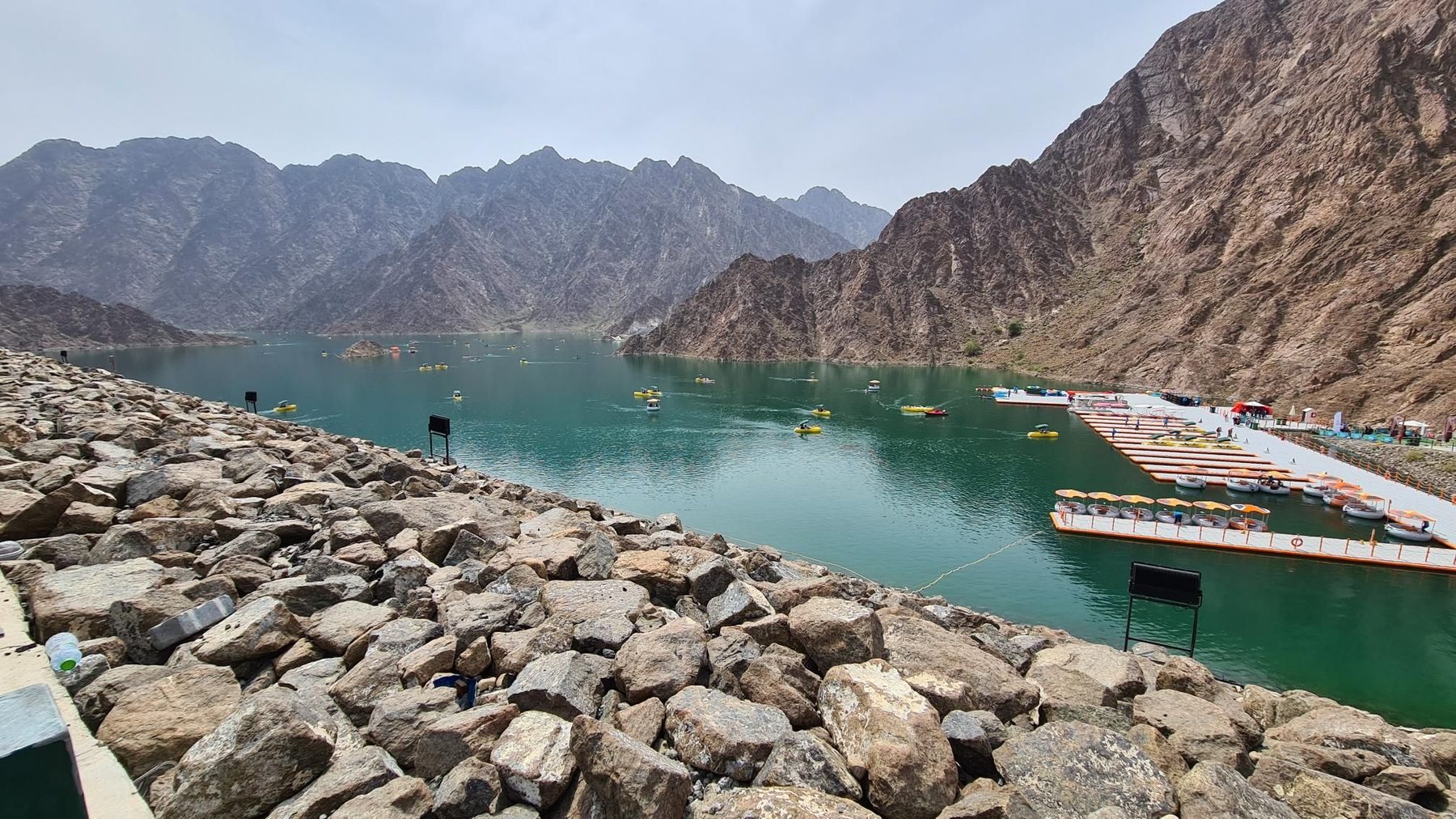
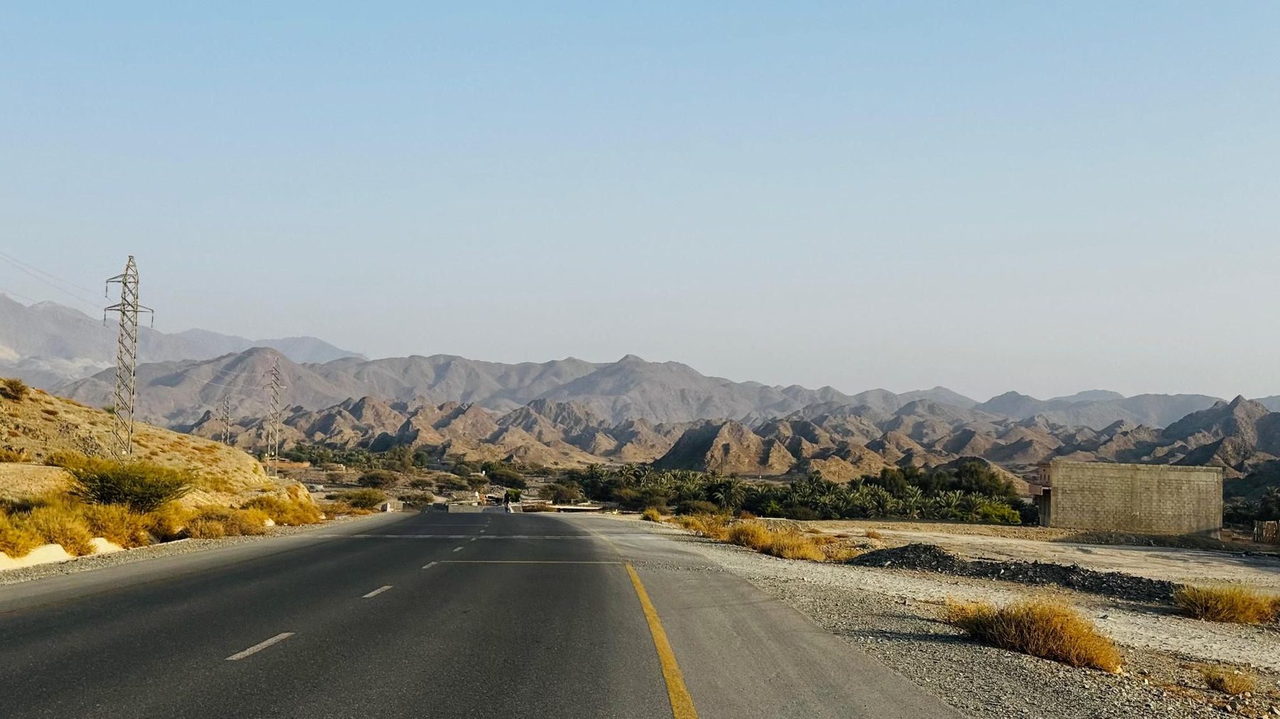
From Kalba the loop heads inland through the hamlet of Yaif at 7.6 km and the villages of Sha'biyyat Milāḩ and Al Qor, where the road begins to lift. The first climb starts at 15.3 km and runs 2.4 km at 2.9%, topping out at 397 m, and the route reaches its high point of 435 m at 19.7 km, beneath an unnamed 508 m peak just before. Around 63% of the day's climbing is done in the first half. The middle section rolls past Mudayrah at 30.2 km and beneath Jabal Laim (420 m) and Jabal Al Abyad (559 m) on the way to Al Warqa and Masfut, where there is drinking water at 38 km. A short, sharp climb follows from 40.7 km: 900 m at 5.8% average with a maximum of 24.8%, cresting at 406 m past Jabal Abu Samasimah. Hatta arrives at 44 km with viewpoints and the Al Hajarain restaurant, and more cafés around Sufayri at 46-47 km. Beyond Suhaylah and Jabal Ruwayshid the road drops steadily, reaching the low point of 199 m at 69.2 km near Huwaylat, then runs through Sikhе̄bar, Al Wa'ab and Munay on the return to Kalba.
| Starts at | Length | Gain | Average | Max | Top |
|---|---|---|---|---|---|
| 15.3 km | 2.4 km | 68 m | 2.9 % | 4.2 % | 397 m |
| 40.7 km | 0.9 km | 52 m | 5.8 % | 24.8 % | 406 m |
Road · United Arab Emirates
Road · United Arab Emirates
Road · United Arab Emirates
Road · United Arab Emirates
Road · United Arab Emirates
Road · United Arab Emirates
Road · United Arab Emirates
Road · United Arab Emirates