
Road · United Arab Emirates
Suits fit riders comfortable with 84 km and 868 m of climbing, most of it in the first half.
An 83.7 km loop from Kalba into the Hajar Mountains, crossing into Oman and back, with 868 m of climbing.
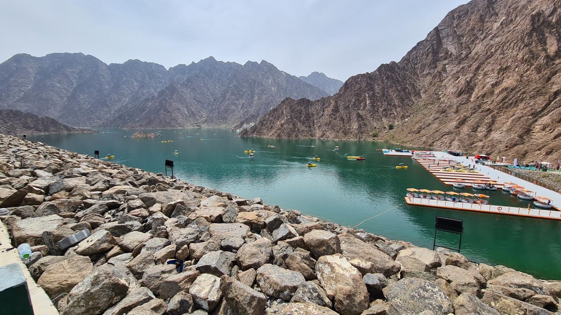
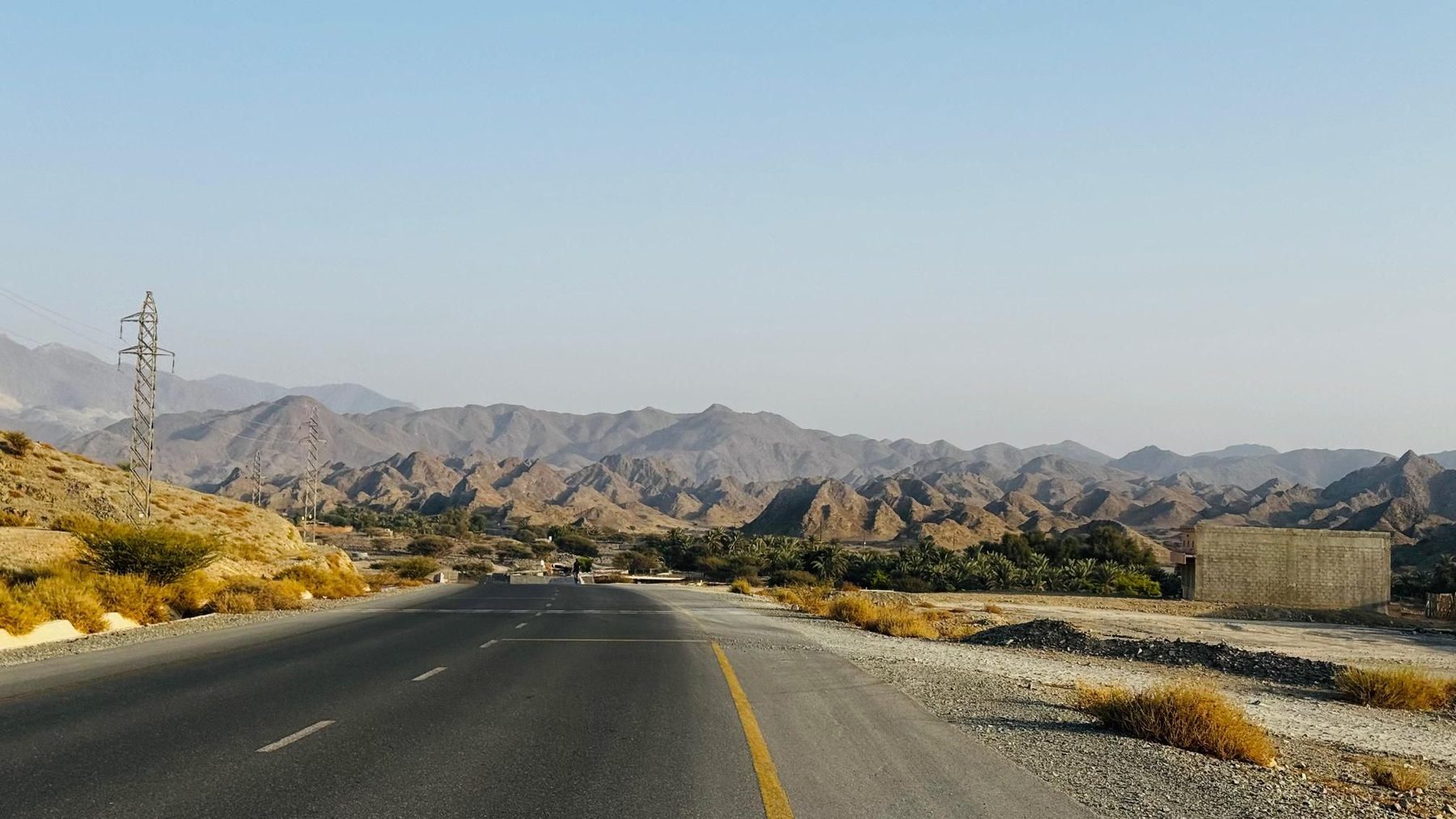
From Kalba the route heads inland and starts climbing almost at once. A 1.5 km rise at 3.5% from km 6.1 is followed by a steeper 1.7 km at 4.4% topping out at 436 m, then the road passes the village of Al 'Ijēlī at km 14.6, where drinking water is listed. A third short climb from km 17.9 averages 3.9% with a maximum of 11.8% and leads to the high point of the route, 438 m at km 19.3, beneath a 706 m peak. The middle section runs through Yaif, Al Qor and Sha'biyyat Milāḩ, with two longer but gentler drags from km 38.2 and km 41.7, both around 2.5-2.8%, passing beneath Jabal Mudayrah (472 m) and Jabal Laim (420 m). Food and drink appear from km 52.6 onwards. Past Jabal Abu Samasimah (550 m) the route reaches Hayl and Hatta at km 60, where a tower viewpoint and further cafés are listed. Two final climbs at km 64 and km 66.8, the second averaging 5.3% with a 10.9% maximum, precede a long descent through As Simsimānīyah and Huwaylat to the low point of 194 m at km 75.2, then Sikhēbar, Al Wa'ab and Munay before the return to Kalba.
| Starts at | Length | Gain | Average | Max | Top |
|---|---|---|---|---|---|
| 6.1 km | 1.5 km | 52 m | 3.5 % | 7 % | 363 m |
| 8.2 km | 1.7 km | 76 m | 4.4 % | 9.3 % | 436 m |
| 17.9 km | 1.4 km | 54 m | 3.9 % | 11.8 % | 438 m |
| 38.2 km | 3.2 km | 80 m | 2.5 % | 3.6 % | 382 m |
| 41.7 km | 1.5 km | 43 m | 2.8 % | 4.1 % | 433 m |
| 64 km | 2.2 km | 76 m | 3.4 % | 7.5 % | 360 m |
| 66.8 km | 1 km | 55 m | 5.3 % | 10.9 % | 386 m |
Road · United Arab Emirates
Road · United Arab Emirates
Road · United Arab Emirates
Road · United Arab Emirates
Road · United Arab Emirates
Road · United Arab Emirates
Road · United Arab Emirates
Road · United Arab Emirates