
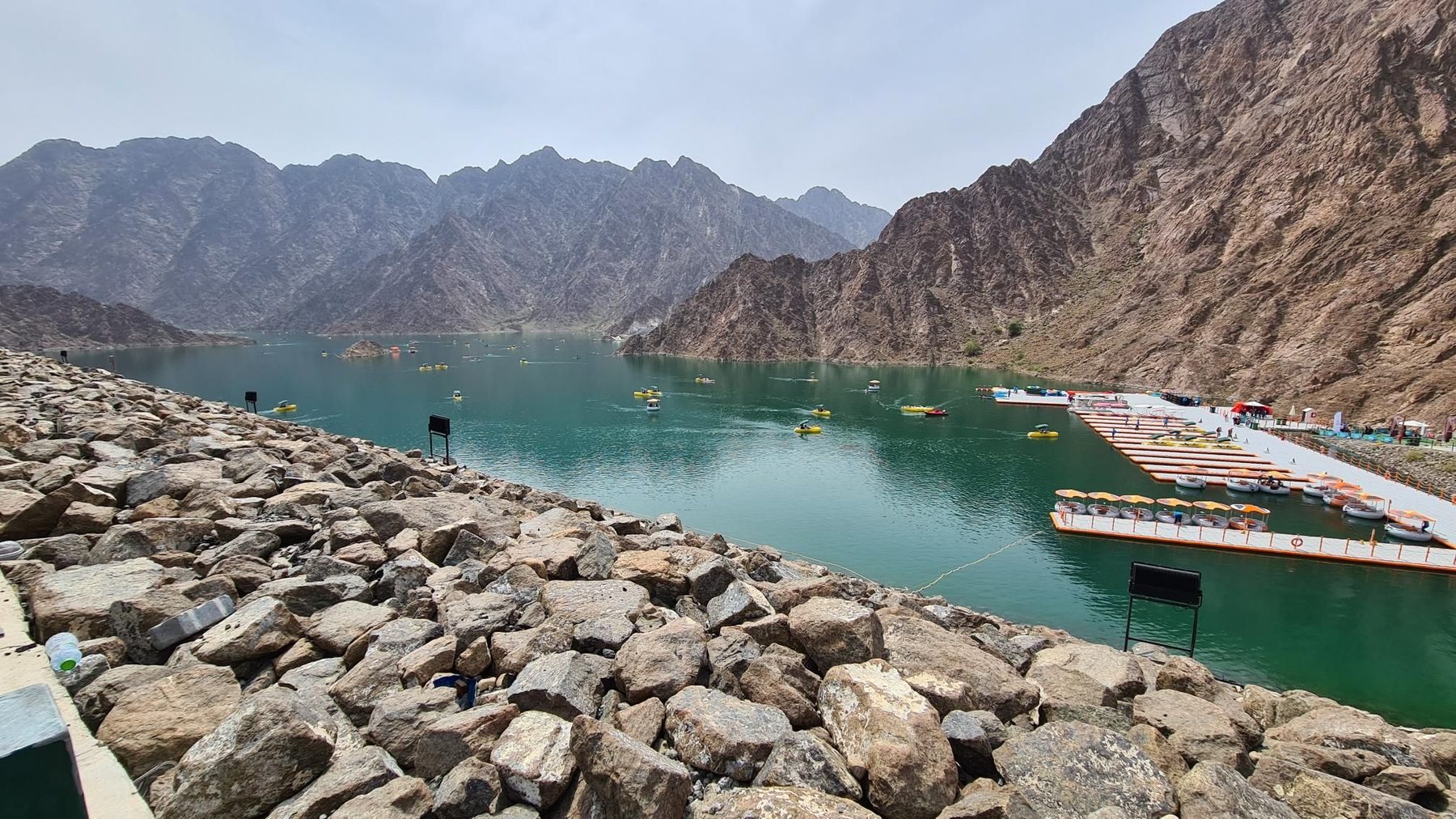
Road · United Arab Emirates
Suits reasonably fit riders comfortable with 72 km and 896 m of climbing in a day.
A 71.8 km loop from Kalba into the Hajar Mountains, with 896 m of climbing and a high point of 468 m.
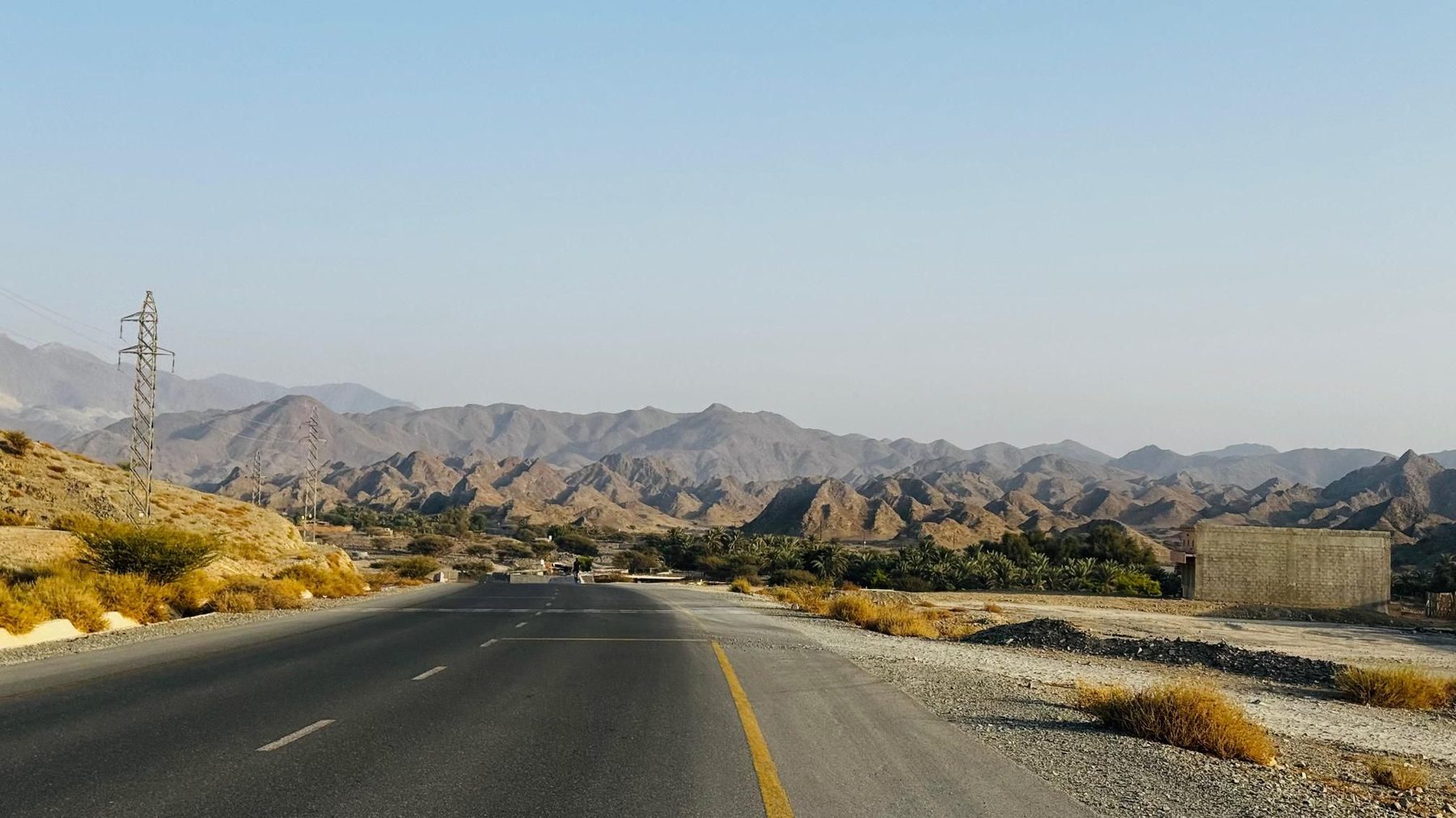
From Kalba the loop heads inland past the village of Munay at 5.2 km, and the road begins to tilt with a 1.7 km rise at 2.6% topping out at 303 m, passing beneath Jabal Al Miqsha (400 m) at 10.3 km. A second, similar ramp of 1.5 km follows Fayyad at 14.1 km, then the main effort of the day starts at 17.2 km: 2.7 km at 5.7%, with a maximum of 9.3%, gaining 149 m to the route's high point of 468 m at 19.9 km, close to unnamed summits of 812 m and 826 m. The long descent from there runs through Al Uqdah at 30.8 km and on to the suburbs of Al Saaf, Al Ghail and Al Maqt'a, reaching the lowest point of the loop at 11 m by 40 km, where WALFA CAFE and a Starbucks sit beside the road, with Mara Lounge and Habib Beirut a few kilometres further on. The return leg climbs again from 42.6 km, 3.5 km at 4.8% to 197 m, then two shorter rises of 1.7 km and 1.8 km either side of Minazif and Al Qilē'ī, the second topping 295 m below a 556 m peak, before the run back down to Kalba. Some 43% of the total climbing comes in the first half.
| Starts at | Length | Gain | Average | Max | Top |
|---|---|---|---|---|---|
| 7.3 km | 1.7 km | 44 m | 2.6 % | 4 % | 303 m |
| 14.8 km | 1.5 km | 40 m | 2.6 % | 4.8 % | 310 m |
| 17.2 km | 2.7 km | 149 m | 5.7 % | 9.3 % | 468 m |
| 42.6 km | 3.5 km | 168 m | 4.8 % | 6.4 % | 197 m |
| 56.4 km | 1.7 km | 66 m | 3.9 % | 5.8 % | 277 m |
| 60.5 km | 1.8 km | 59 m | 3.3 % | 5.5 % | 295 m |
Road · United Arab Emirates
Road · United Arab Emirates
Road · United Arab Emirates
Road · United Arab Emirates
Road · United Arab Emirates
Road · United Arab Emirates
Road · United Arab Emirates
Road · United Arab Emirates