
Road · United Arab Emirates
Riders comfortable with 97.1 km who want a long flat run before a modest 565 m of climbing in the closing half.
A 97.1 km point-to-point from Kalba through the Hajar Mountains, flat for the first half before climbing to 335 m near the finish.
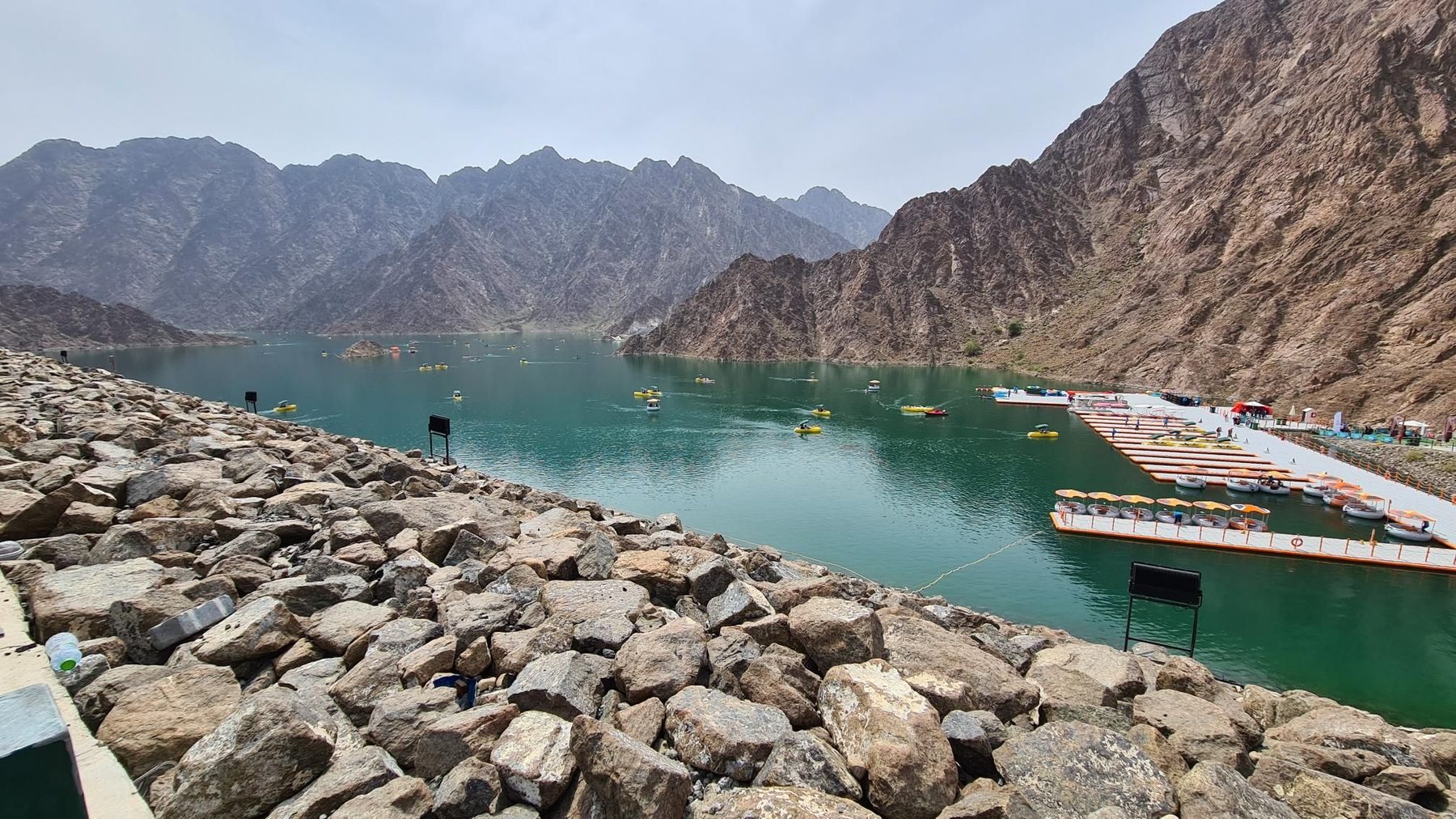
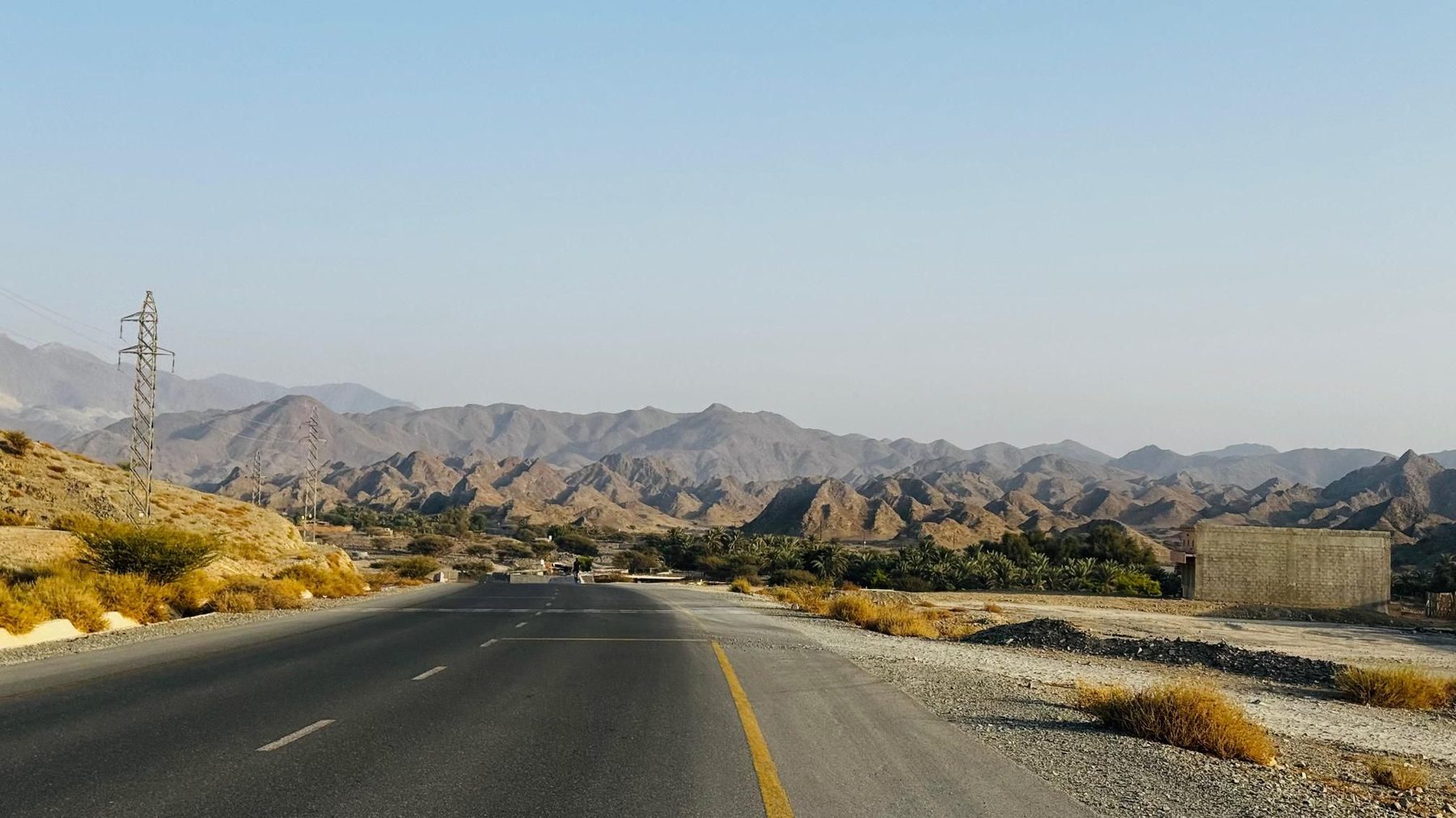
The route starts at sea level in Kalba, dipping to -1 m in the opening metres, and heads out past the hamlet of Yaif at km 2 and the villages of Al Qor, Sha'biyyat Milāḩ, Sikhе̄bar, Al Wa'ab and Munay inside the first 16 km. This whole opening section is flat: none of the day's 565 m of climbing falls in the first half. At km 21.9 the road passes beneath Jabal Al Miqsha, at 400 m. Al Uqdah arrives at km 40, followed by the built-up stretch of Al Saaf, Al Ghail and Al Maqt'a around km 47-48, where two cafés sit at km 49.2 and km 49.7 — the only refreshment marked on the route. Just after, the first graded rise begins at km 51.4: 2 km at 2% averaging, 40 m of gain, topping out at only 39 m. From Al ‘Ayn al Ghumūr and Wahala the ground tilts upward more seriously. A second climb starts at km 78.9, 1.8 km at 3.4% with a maximum of 6%, reaching 288 m. Minazif and Al Qilē'ī follow, with an unnamed 556 m peak beside the road at km 84.1, and the high point of 335 m comes late, at km 95.6, just before the end.
| Starts at | Length | Gain | Average | Max | Top |
|---|---|---|---|---|---|
| 51.4 km | 2 km | 40 m | 2 % | 4.1 % | 39 m |
| 78.9 km | 1.8 km | 62 m | 3.4 % | 6 % | 288 m |
Road · United Arab Emirates
Road · United Arab Emirates
Road · United Arab Emirates
Road · United Arab Emirates
Road · United Arab Emirates
Road · United Arab Emirates
Road · United Arab Emirates
Road · United Arab Emirates