
 AI image
Road · United Arab Emirates
Riders comfortable with a 165.3 km day who can hold a steady pace on flat roads and still handle 829 m of climbing concentrated in the last 50 km.
A 165.3 km point-to-point across the United Arab Emirates from Sharjah on the Gulf coast to Khor Fakkan on the Gulf of Oman, with 829 m of climbing through the Hajar Mountains.
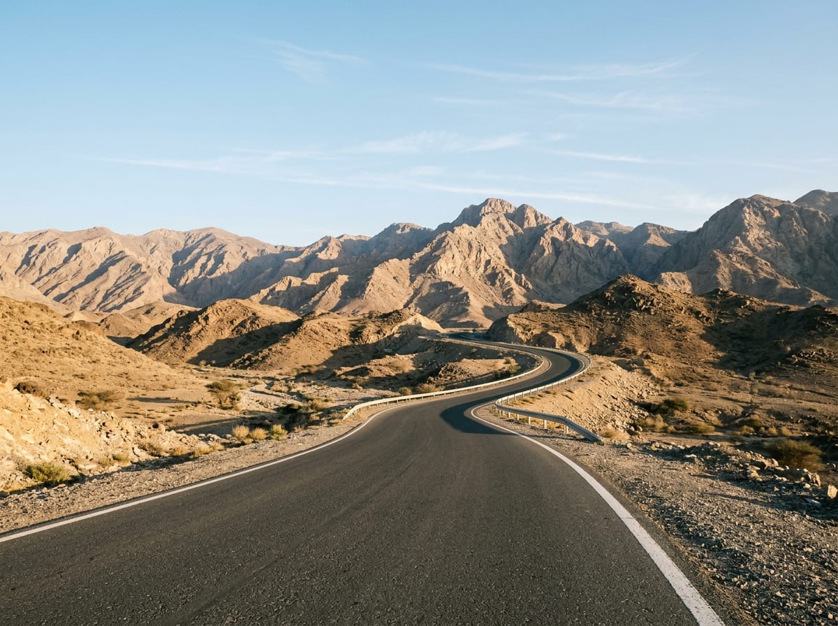
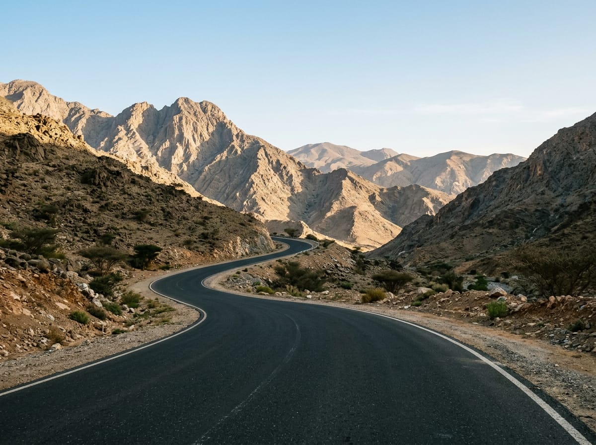
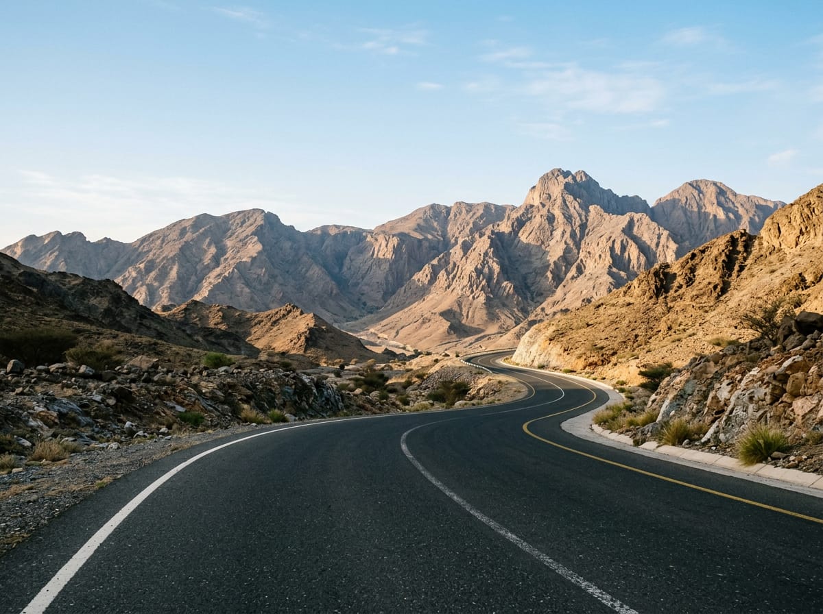
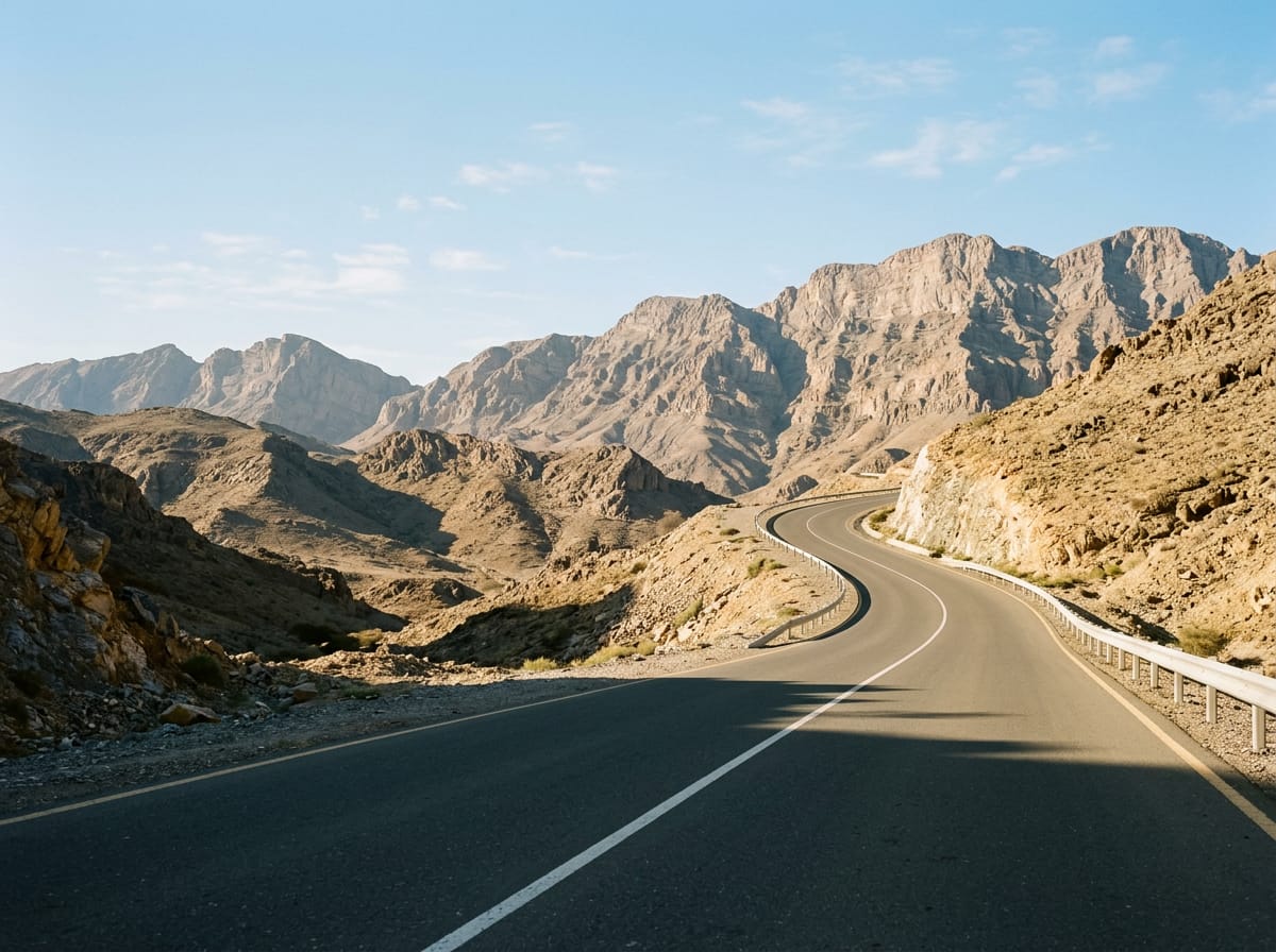
The ride starts in Sharjah and spends its first 20 km among the coastal suburbs, passing Al Mamzar, Al Nahda, Al Khan, Al Khalidiyah, Al Layyah and Al Majaz before Al Soor and Al Qasimia at around km 18. The lowest point of the whole route, 8 m below sea level, comes at km 18.5. Almost all the food and coffee stops recorded sit in this opening stretch, between km 5.3 and km 16.2. Beyond the city the road runs inland through Oud Al Muteena, Al Mizhar 3, Al Ttay and Qatah at km 49.8, then Mahafiz at km 72.9 and Sha'biyyat as Rashidiyyah at km 81.5. Only 21% of the day's climbing falls in the first half, so this is long and flat riding. The Hajar Mountains begin after Wishāh and Al Weshah, near km 105. Four graded rises follow: 1.8 km at 2.4% from km 113.8, 2.5 km at 2.7% from km 119.1, 2.7 km at 3.4% from km 127.9, and the hardest, 4.6 km at 4% with a 7.1% maximum from km 134.9 past Daftah, topping out at 519 m. The high point of 555 m comes at km 140, above Shis. From there the road drops through Ar Rufaysah to the finish at Khor Fakkan at km 158.2.
| Starts at | Length | Gain | Average | Max | Top |
|---|---|---|---|---|---|
| 113.8 km | 1.8 km | 44 m | 2.4 % | 4.3 % | 198 m |
| 119.1 km | 2.5 km | 66 m | 2.7 % | 4.5 % | 275 m |
| 127.9 km | 2.7 km | 92 m | 3.4 % | 5.6 % | 415 m |
| 134.9 km | 4.6 km | 180 m | 4 % | 7.1 % | 519 m |
AI imageRoad · United Arab Emirates
 AI image
Road · United Arab Emirates
 AI image
Road · United Arab Emirates
 AI image
Road · United Arab Emirates
 AI image
Road · United Arab Emirates