
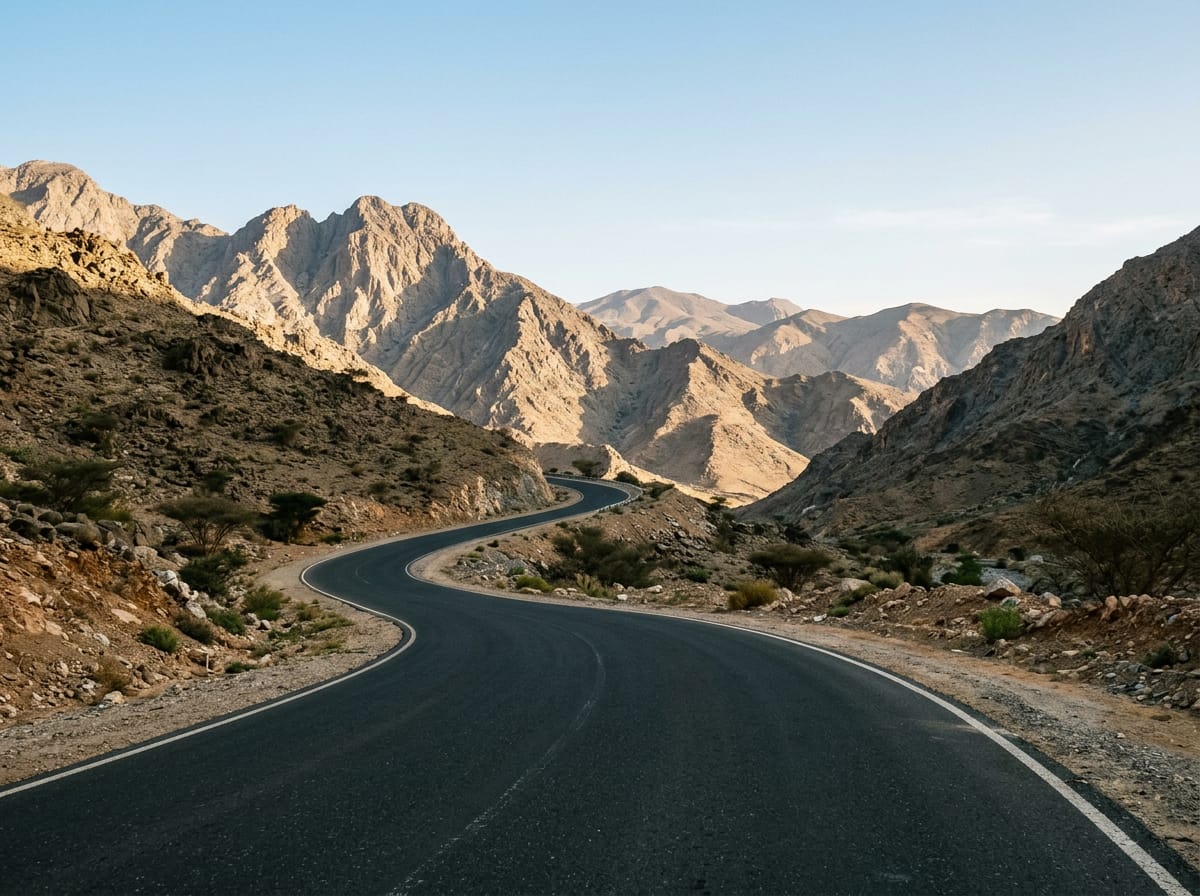
 AI image
Road · United Arab Emirates
A long day for endurance riders: 215.8 km with only 968 m of climbing, so pacing and heat management matter more than gradient.
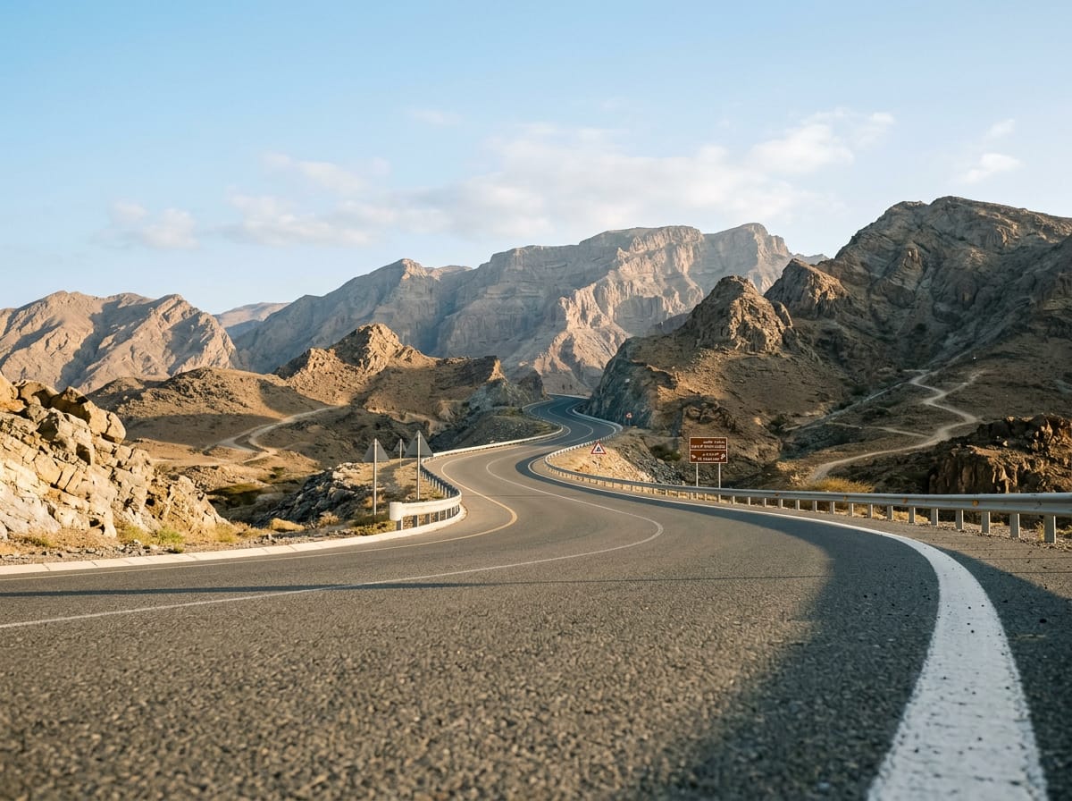
A 215.8 km point-to-point crossing of the UAE from Sharjah on the Gulf coast, over the Hajar Mountains to Al Aqqah on the Gulf of Oman.
The ride starts in Sharjah and spends its first 25 km threading the coastal city, passing Al Mamzar and Al Nahda, then Al Khan, Al Khalidiyah, Al Majaz and Al Qasimia, where almost all the cafés and restaurants on the route are clustered. Beyond Al Mizhar 3 and Al Ttay the built-up edge gives way to open ground at Qatah (50.4 km) and the town of Milehah at 76.1 km. The climbing is concentrated in the middle. A 3.1 km rise at 2.5% average begins at 90.1 km and tops out at 315 m, and a second 2.8 km at 2.3% follows from 95.7 km to 404 m. The high point of the route, 437 m, comes at 99.1 km, with 69% of the day's 968 m of gain already banked by halfway. From there the road drops through Munay, Al Qilē'ī and Wahala to the eastern coast, reaching the route's low point of -9 m at 148.2 km near Kalba. The final stretch runs north along the shore through Qurayyah, Mirbah, Khor Fakkan, Al Badīyah and Sharm to finish at Al Aqqah.
| Starts at | Length | Gain | Average | Max | Top |
|---|---|---|---|---|---|
| 90.1 km | 3.1 km | 78 m | 2.5 % | 4.4 % | 315 m |
| 95.7 km | 2.8 km | 62 m | 2.3 % | 3.7 % | 404 m |
AI imageRoad · United Arab Emirates
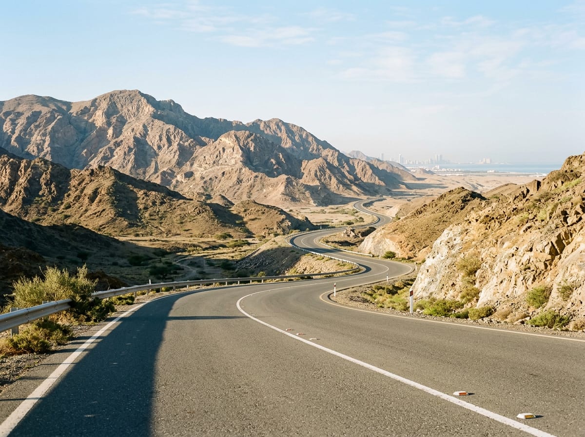 AI image
Road · United Arab Emirates
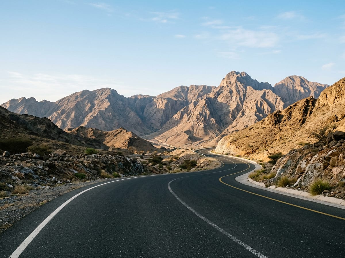 AI image
Road · United Arab Emirates
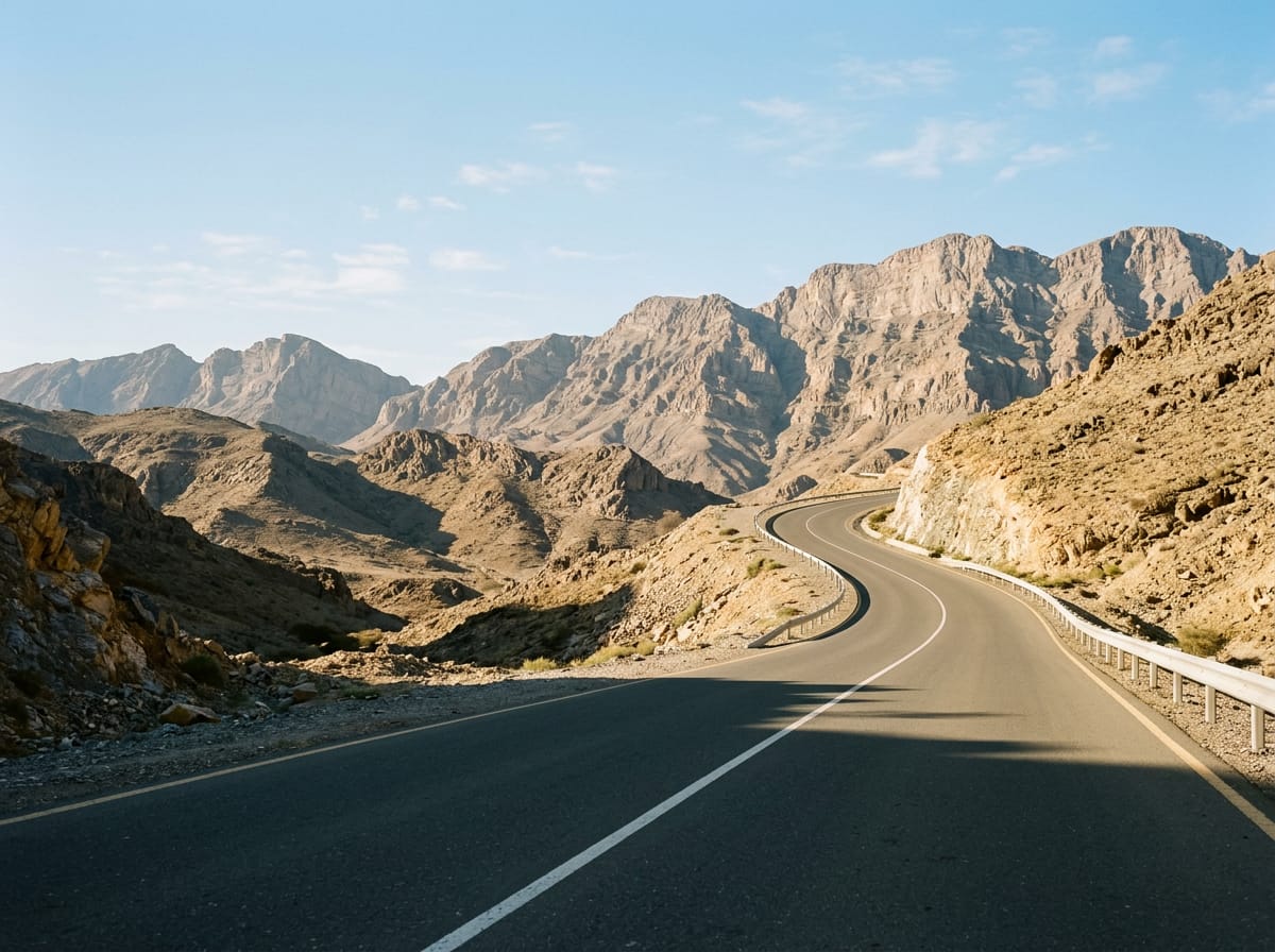 AI image
Road · United Arab Emirates
 AI image
Road · United Arab Emirates