
 AI image
Road · United Arab Emirates
Endurance riders comfortable with a 217.6 km day, where 1,466 m of climbing comes in steady, mostly single-digit-gradient sections rather than sustained steep ascents.
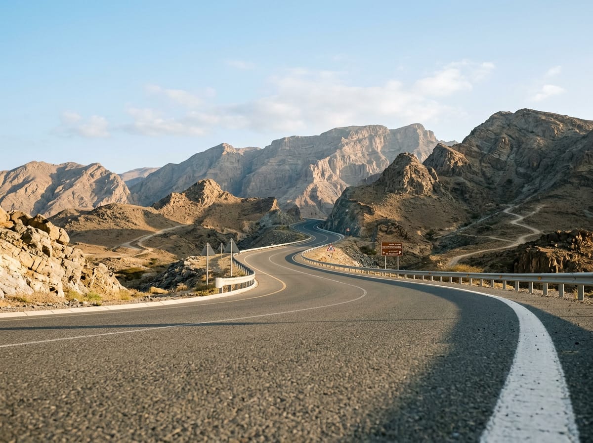
A 217.6 km point-to-point across the United Arab Emirates, from the Sharjah coast through the Hajar Mountains to Khor Fakkan, with 1,466 m of climbing.
The ride begins at sea level in Sharjah, dipping to -4 m at km 0, and works through the city's suburbs: Al Mamzar and Al Nahda in the first couple of kilometres, then Al Khan at km 7.5, Al Khalidiyah, Al Layyah, Al Majaz and Al Qasimia by km 18.7. This urban opening is where every listed restaurant and café sits, from QasrAlSultan at km 8 to the cluster of cafeterias around km 18.2. Beyond Al Ttay at km 40.5 the route heads inland past Qatah at km 50.6 and the town of Milehah at km 75.9, where the ground starts to rise. Three moderate climbs follow in quick succession: 2.8 km at 2.7% from km 90.2 to 315 m, 2.4 km at 2.5% topping out at 405 m, and 3.5 km at 3.1% from km 110.8 to 428 m. Musseili and Shawka come at km 128.6 and 135.5, then Wishāh and Al Weshah near km 160. The final third holds the steepest work. A 2.5 km rise from km 173.5, then 2.9 km at 2.8% to 422 m, and a 2.3 km pull from km 190.9 with a 6.8% maximum reaching 472 m. The route's high point of 495 m arrives at km 193.5, after Daftah and Ghadf, before the drop past Shis and Ar Rufaysah to Khor Fakkan at km 212.8.
| Starts at | Length | Gain | Average | Max | Top |
|---|---|---|---|---|---|
| 90.2 km | 2.8 km | 73 m | 2.7 % | 4.4 % | 315 m |
| 95.8 km | 2.4 km | 59 m | 2.5 % | 2.7 % | 405 m |
| 110.8 km | 3.5 km | 108 m | 3.1 % | 4.5 % | 428 m |
| 173.5 km | 2.5 km | 52 m | 2.2 % | 4.8 % | 276 m |
| 182.1 km | 2.9 km | 80 m | 2.8 % | 5.4 % | 422 m |
| 190.9 km | 2.3 km | 60 m | 2.7 % | 6.8 % | 472 m |
AI imageRoad · United Arab Emirates
 AI image
Road · United Arab Emirates
 AI image
Road · United Arab Emirates
 AI image
Road · United Arab Emirates
 AI image
Road · United Arab Emirates