
 AI image
Road · United Arab Emirates
Riders comfortable with a long day of 165.5 km who want distance more than steep climbing, with 829 m of gain concentrated in the second half.
A 165.5 km point-to-point crossing of the UAE from Sharjah on the Gulf coast, over the Hajar Mountains to the east coast at Dibba.
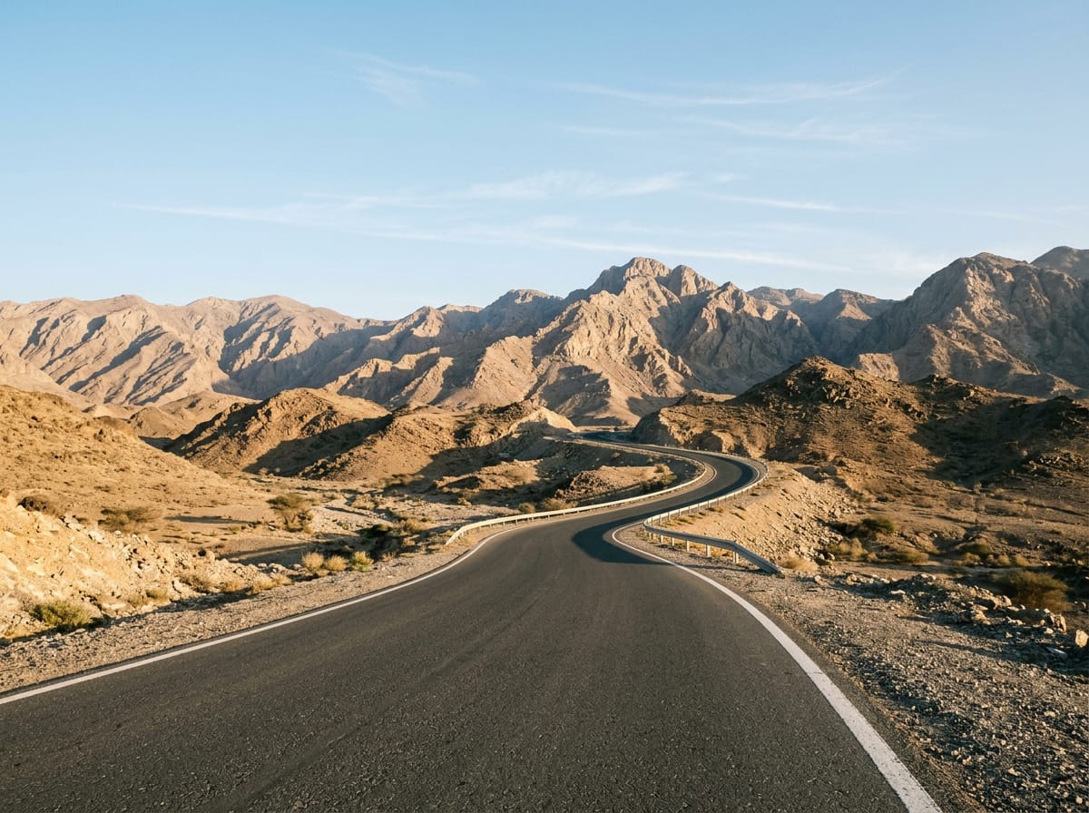
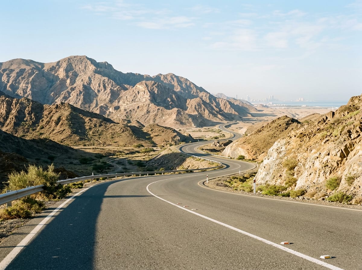
The route starts on the coast at Sharjah, passing Al Mamzar and Al Nahda in the first 2 km before threading the city suburbs of Al Khan, Al Khalidiyah, Al Layyah and Al Majaz. The lowest point of the whole ride comes at Al Qasimia, 19.2 km in and 9 m below sea level. From there the road runs inland through Oud Al Muteena, Al Mizhar 3, Al Ttay and the village of Qatah at 51 km, with only 22% of the day's climbing falling in the first half. The gradient arrives after Wishāh and Al Weshah at around 88 km. A 2.1 km rise at 2.8% from 101.7 km tops out at 269 m, then 2.7 km at 3.4% from 110.3 km reaches 422 m. The longest climb, 4.7 km at 3.7% with a maximum of 6.6%, starts at 117.1 km near Daftah and Ghadf and tops at 517 m. Past Shis the road reaches its high point of 564 m at 130.4 km. The descent drops to the east coast at Khor Fakkan, 140.9 km, then runs north through Lulayyah, Al Badīyah, Haqil, Sharm and Al Aqqah to finish at Dibba after 829 m of total climbing.
| Starts at | Length | Gain | Average | Max | Top |
|---|---|---|---|---|---|
| 101.7 km | 2.1 km | 57 m | 2.8 % | 4.7 % | 269 m |
| 110.3 km | 2.7 km | 93 m | 3.4 % | 5.9 % | 422 m |
| 117.1 km | 4.7 km | 173 m | 3.7 % | 6.6 % | 517 m |
AI imageRoad · United Arab Emirates
 AI image
Road · United Arab Emirates
 AI image
Road · United Arab Emirates
 AI image
Road · United Arab Emirates
 AI image
Road · United Arab Emirates