Cyclists.com

Col d'Ornon from Le Bourg-d'Oisans

Le Bourg-d'Oisans, FranceRoad

Routed from the map This classic road was traced on OpenStreetMap and measured against the terrain model; no member has recorded it yet. Ridden it? Add your recording and photos.

14 km
Distance
652 m
Elevation gain
Easy
Difficulty
Paved
Surface
Download GPXMap

Elevation profile

Total ascent
652 m
Distance
14 km
05001,0001,500m0 km51013 km1,370 m · highest, at 13.5 kmStartFinish

Route overview

Cyclists looking for a mid-length climb with 652 m elevation gain.

A 13.5 km climb from Le Bourg-d'Oisans to Col d'Ornon in France gaining 652 m.

Starting in Le Bourg-d'Oisans, the route passes Le Rat at 1.7 km, Fond des Roches at 2.2 km and Petit Vernay at 2.6 km. The main climb begins shortly after 1.5 km and stretches for 12 km ascending 652 m at an average gradient of 5.4%, with sections up to 11.8%. The climb reaches its highest point at 1369 m after 13.5 km. The entire route is paved and mostly on main roads, with 12 km ridden without a cycle lane, including 11 km on roads with posted speed limits of 80 km/h or higher. The longest named road used is the D 526 for 11.3 km. There is a short 1.2 km section with a cycle lane. Facilities along the route include shops, water points, bike shops and toilets near the start with a 5 km stretch without a café or shop from 1.6 to 6.6 km. At the finish near the summit is the Le Chantelouve restaurant. There are bakery and convenience shops near the start and drinking water is available multiple times along the climb. Worth a stop are the ruins of Anciennes ardoisières at 8.1 km and a picnic site at Col d'Ornon near the end. Toilets and a bike shop are available near the start and toilets again near the climb summit.

Highlights

  • Climb averaging 5.4% over 12 km
  • Col d'Ornon picnic site at 13.5 km
  • Anciennes ardoisières ruins at 8.1 km
  • Le Chantelouve restaurant at the finish

Along the route

Measured from the recorded track and OpenStreetMap.

Places passed

  1. Fond des Roches 2.2 km
  2. Petit Vernay 2.6 km
  3. La Paute 3 km
  4. Palud 6.6 km
  5. Le Villaret 7.2 km
  6. La Poyat 8.2 km
  7. Le Pont des Oulles 8.4 km
  8. Ornon 8.5 km
  9. La Pouthuire 8.8 km
  10. Le Rivier 10.3 km

On the road

  • Restaurant Rive Gauche (Restaurant) 0 km
  • La Romanche (Restaurant) 0 km
  • Snack Resto de France (Restaurant) 0 km
  • Water 0 km
  • Le Café Presse du Bourg (Restaurant) 0 km
  • Hôtel de Milan (Restaurant) 0 km
  • La Falaise (Restaurant) 0.1 km
  • Café de Paris (Café) 0.1 km
  • La feuilleté de l'oisans (Restaurant) 0.1 km
  • Café du Centre (Restaurant) 0.1 km
  • Les 2 Continents (Restaurant) 0.1 km
  • La Muzelle (Restaurant) 0.1 km

Climbs

ClimbStarts atLengthGainAverageMaxTop
Le Rat climb1.5 km12 km652 m5.4 %11.8 %1369 m

High point 1369 m at 13.5 km; low point 717 m.

Le Rat climb · starts at 1.5 km

12 km at 5.5% · 652 m
8009001,0001,1001,2001,300m6.0%2.5%6.8%3.6%7.5%7.6%6.4%6.7%5.1%0 km1234567891011.6 km1,369 msteepest 7.6%
< 4%4 – 7%7 – 10%> 10%

Practical information

Surface
Paved
Route shape
Point to point
Riding time
58 min

Know before you go

  • 5 km without café or shop between 1.6 and 6.6 km
  • 12 km on main roads without cycle lane
  • 11 km on roads with 80 km/h speed limits

Routes are for inspiration. Roads, surfaces and conditions change — check locally and ride within your limits.

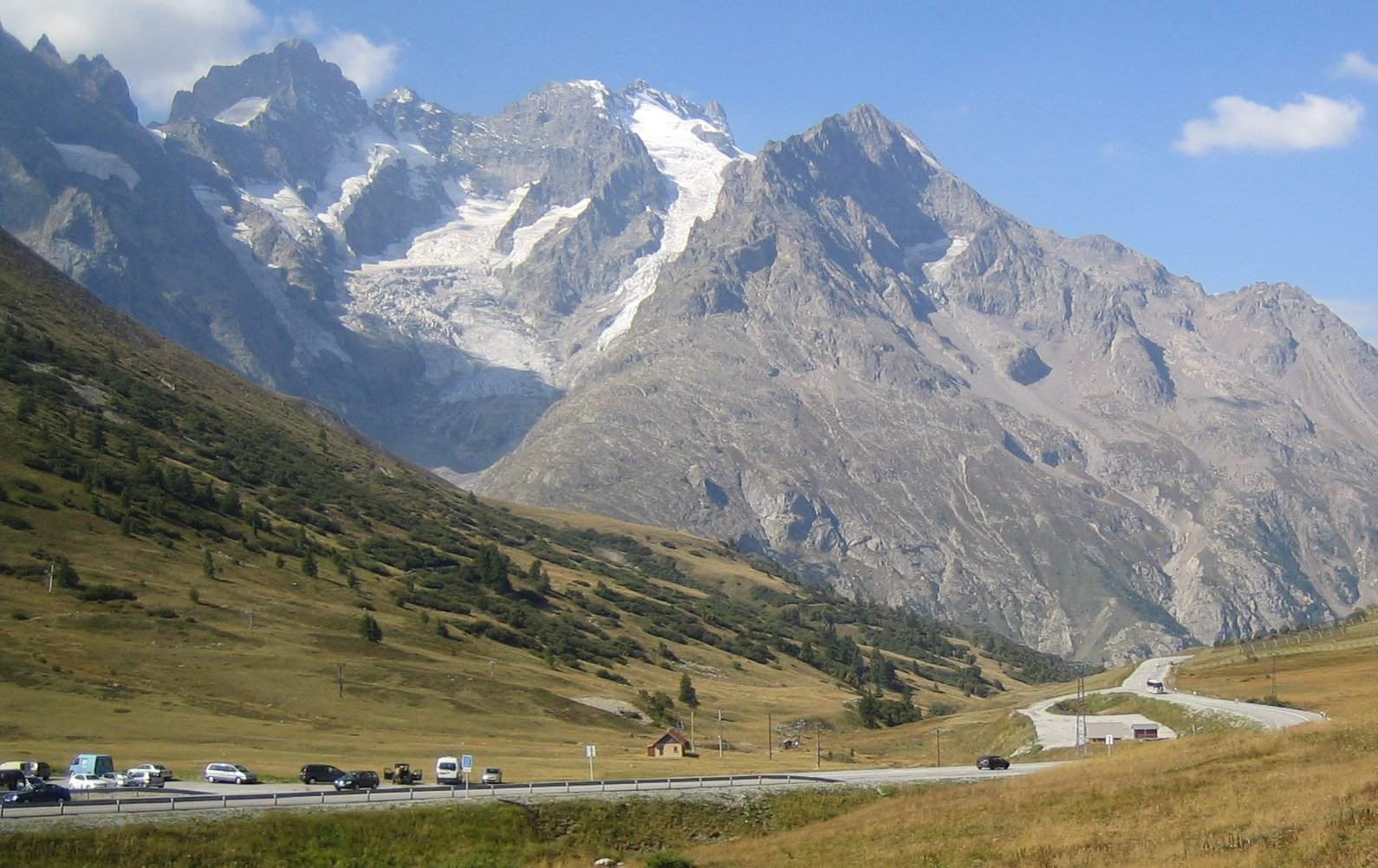
1 photograph from the road

Photo: Jjassera · CC BY 2.5 · Wikimedia Commons · Photo via Wikimedia Commons · Public domain

More rides from Le Bourg-d'Oisans