Cyclists.com

Alpe d'Huez from Le Bourg-d'Oisans

Le Bourg-d'Oisans, FranceRoad

Routed from the map This classic road was traced on OpenStreetMap and measured against the terrain model; no member has recorded it yet. Ridden it? Add your recording and photos.

15 km
Distance
1,029 m
Elevation gain
Moderate
Difficulty
Paved
Surface
Download GPXMap

Elevation profile

Total ascent
1,029 m
Distance
15 km
05001,0001,5002,000m0 km51015 km1,749 m · highest, at 15.3 kmStartFinish

Route overview

Suitable for climbers seeking a sustained 15 km ascent with over 1000 m gain.

15.3 km climb from Le Bourg-d'Oisans with 1029 m gain, reaching 1749 m elevation, mostly on minor roads in France.

Starting in Le Bourg-d'Oisans, the route passes through La Garde at 2.7 km, La Ville at 4.2 km, and a cluster of places including L'Armentier-le-Bas and La Carte d'Haute at 5 km. It continues through L'Armentier le Haut at 5.7 km, Le Cert at 9.3 km, Les Cours at 11 km, Le Grand-Châtain at 11.7 km, and reaches Auris en Oisans at 13.8 km. From about 1.1 km, the road climbs for 13.9 km up to 1749 m, gaining 1029 m with an average gradient of 7.4% and maximum gradient of 33.1%. The profile has 85% climbing, with 8.4 km over 5% and 2.8 km over 10%. The first half includes 54% of the climbing. The surface is mostly paved (86%) but includes 14% unpaved or gravel, covering mostly minor roads (75%) plus some path and cycle lane segments. Along the way, there is a long 7.7 km stretch without café, shop, or water from 6.1 to 13.8 km. At the start, Le Bourg-d'Oisans offers multiple conveniences including two bike shops, cafés, bakery, and petrol station near 0.5 km. At the finish, several shops, restaurants and bars are available near Auris en Oisans. Water is available at 2.7 km and 6.1 km.

Highlights

  • Climb of 13.9 km gaining 1029 m
  • Maximum gradient 33.1%
  • Passes through Auris en Oisans at 13.8 km
  • Mostly minor roads with some cycle lane

Along the route

Measured from the recorded track and OpenStreetMap.

Places passed

  1. La Garde 2.7 km
  2. La Ville 4.2 km
  3. L'Armentier-le-Bas 5 km
  4. La Carte d'Haute 5 km
  5. L'Armentier le Haut 5.7 km
  6. Le Cert 9.3 km
  7. Les Cours 11 km
  8. Le Grand-Châtain 11.7 km

On the road

  • La Falaise (Restaurant) 0 km
  • Café de Paris (Café) 0 km
  • La Romanche (Restaurant) 0 km
  • Snack Resto de France (Restaurant) 0 km
  • La feuilleté de l'oisans (Restaurant) 0 km
  • Café du Centre (Restaurant) 0 km
  • Les 2 Continents (Restaurant) 0 km
  • La Muzelle (Restaurant) 0 km
  • Café 0 km
  • Water 0 km
  • Grain D'sel (Restaurant) 0 km
  • Restaurant Rive Gauche (Restaurant) 0.1 km

Climbs

ClimbStarts atLengthGainAverageMaxTop
Le Bourg-d'Oisans climb1.1 km13.9 km1029 m7.4 %33.1 %1749 m

High point 1749 m at 15 km; low point 719 m.

Le Bourg-d'Oisans climb · starts at 1.1 km

13.9 km at 7.4% · 1029 m
8001,0001,2001,4001,600m12%5.4%9.7%7.1%9.2%3.5%0.8%2.7%5.6%6.9%7.2%5.5%15%0 km1234567891011121313.8 km1,749 msteepest 15.1%
< 4%4 – 7%7 – 10%> 10%

Practical information

Surface
Paved
Route shape
Point to point
Riding time
1 h 06 min

Know before you go

  • 7.7 km with no café, shop, or water between 6.1 and 13.8 km
  • 14% gravel or unpaved surface
  • 0.6 km on main roads without cycle lane

Routes are for inspiration. Roads, surfaces and conditions change — check locally and ride within your limits.

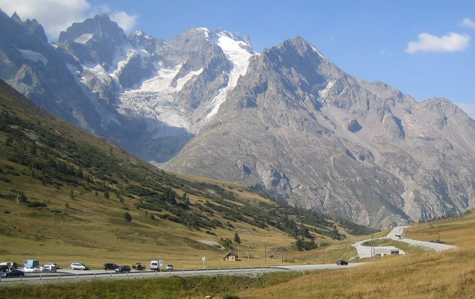
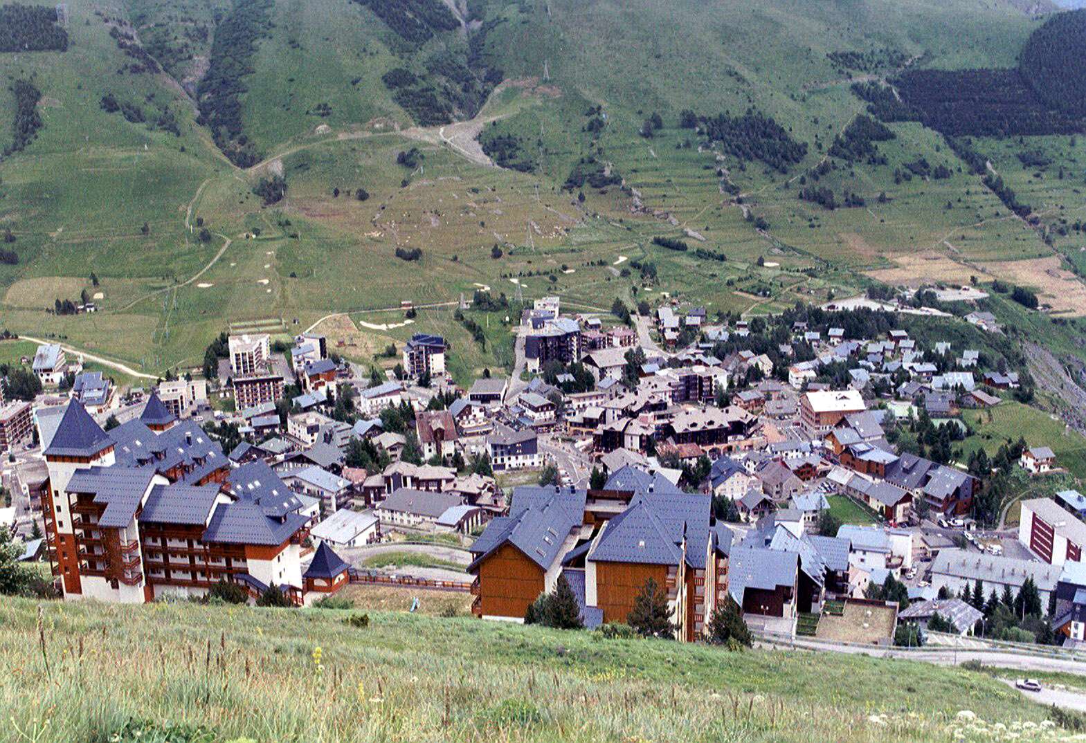
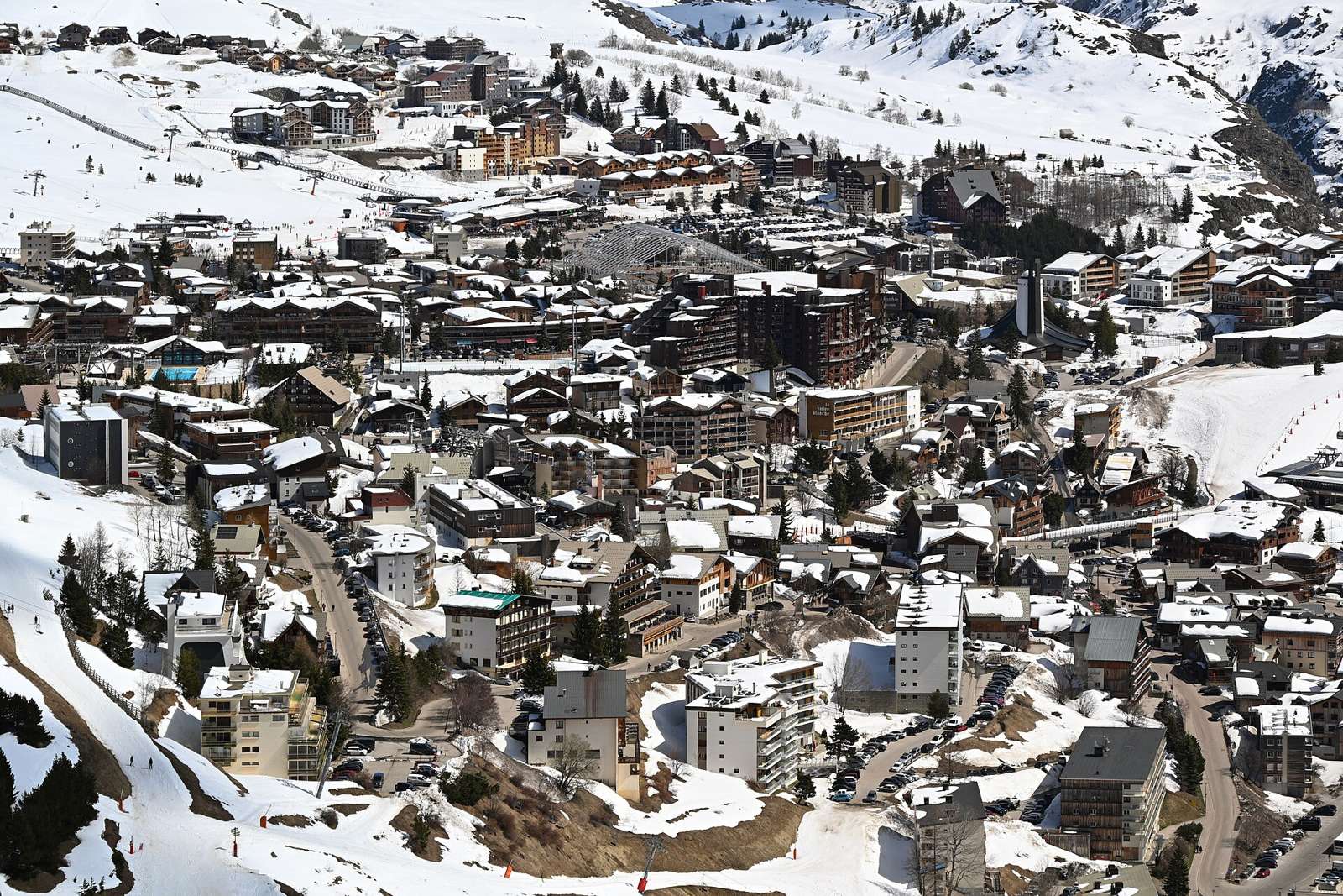
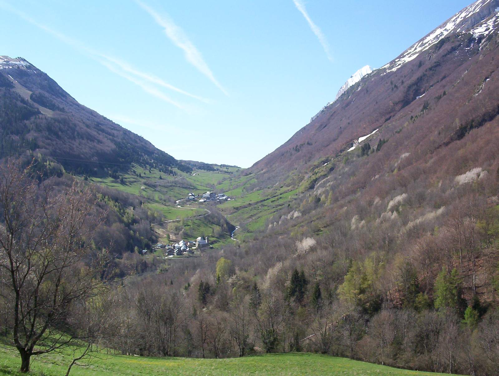
2 photographs from the road

Photo: DimiTalen · CC0 · Wikimedia Commons · Photo: MFonzatti · CC BY-SA 4.0 · Wikimedia Commons · Photo: Patafisik · CC BY-SA 4.0 · Wikimedia Commons

More rides from Le Bourg-d'Oisans