 AI image
Road · United Arab Emirates
Suits riders comfortable with a single sustained 10.7 km ascent inside a 72.3 km day with 859 m of climbing.
A 72.3 km point-to-point ride from Al Ain over Jebel Hafeet, with a 10.7 km climb at 6.7% to 1,032 m.
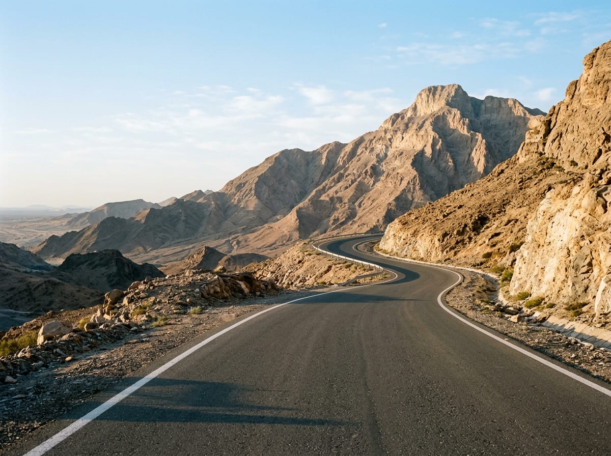
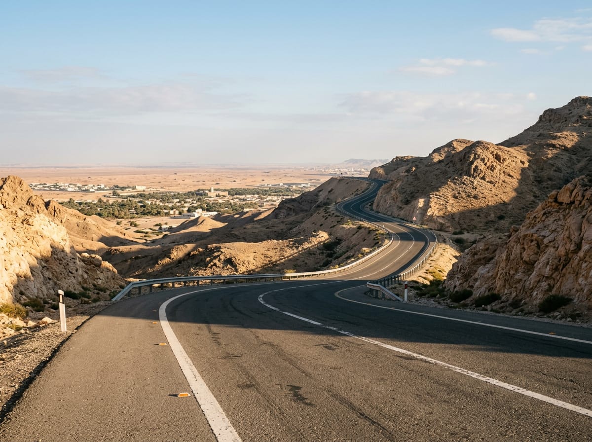
The route leaves Al Ain and runs south across flat ground for the first quarter, passing Shi'bat Al Wutah at 14.7 km. The road tilts up shortly after, and from 17.3 km the climb proper begins: 10.7 km at an average of 6.7%, with a steepest section of 11% and 724 m of gain. The village of Jabal Hafeet sits at 26.9 km, close to the upper slopes, and the high point of 1,032 m comes at 28 km, beneath the 1,108 m summit of Jabal Hafit. The top of the mountain is where the facilities are concentrated: a viewpoint at 28.3 km, the Pentagon Restaurant and Asphalt Cafe at 28.4 km, a second viewpoint at 29.1 km, and Pearl of the Mountain and Lavazza at 32 km, with further viewpoints at 32.5 km and 35.7 km. With 93% of the day's climbing done by halfway, the second half is a long descent and run-out. A viewpoint at 46.5 km precedes the low point of 251 m at 54.2 km, then cafeterias at 61.9 km and 62 km break up the final stretch. Mbazzarah Al Khadra comes at 66.3 km, and the route finishes at 72.3 km.
| Starts at | Length | Gain | Average | Max | Top |
|---|---|---|---|---|---|
| 17.3 km | 10.7 km | 724 m | 6.7 % | 11 % | 1032 m |