 AI image
Road · United Arab Emirates
Riders comfortable with 41.5 km and 843 m of climbing concentrated into a single sustained 10.5 km ascent.
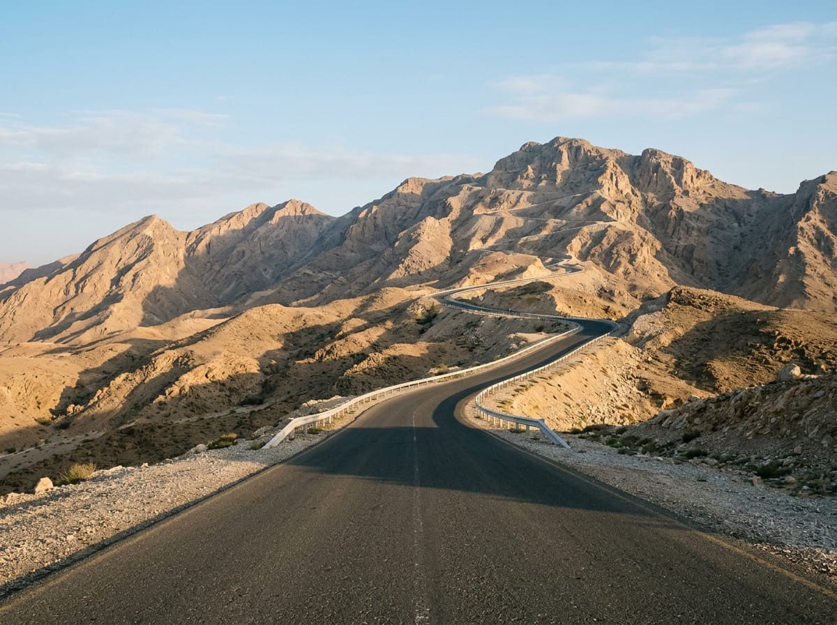
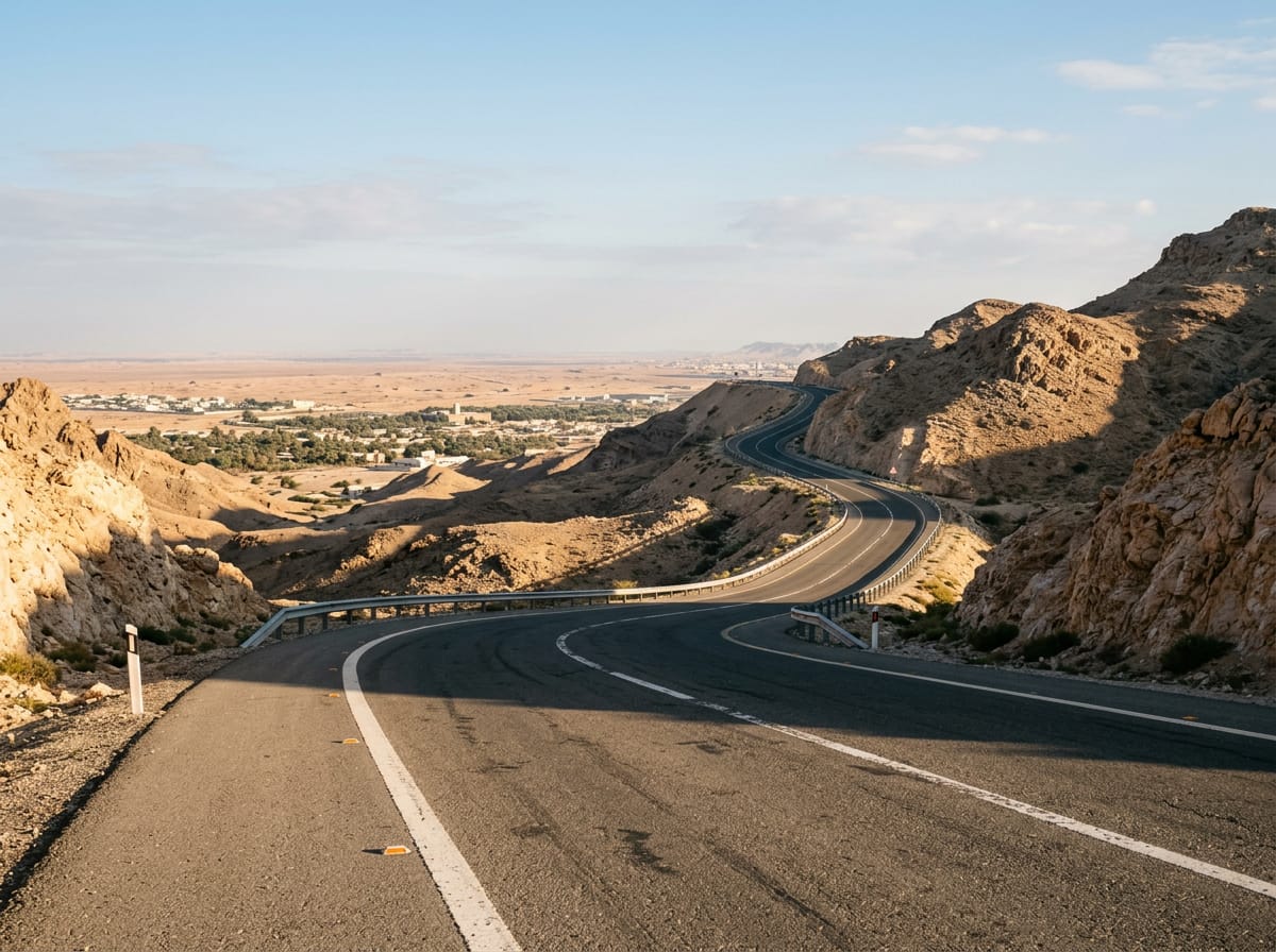
A 41.5 km point-to-point ride from Al Ain across the desert flats to the 10.5 km ascent of Jebel Hafeet, topping out at 1,023 m.
The route sets out beside Mbazzarah Al Khadra at 0.5 km and drops almost at once to its low point of 244 m at 1.4 km. From there it runs across open ground towards the mountain, passing Shi'bat Al Wutah at 21 km. The first half gathers only 7% of the total climbing, so the opening 30 km serve mainly as an approach, with the bulk of the day's 843 m held back for the end. The climb proper begins at 29.7 km and runs for 10.5 km at an average of 7%, with the steepest ramps reaching 10.7%. The gradient is consistent rather than punchy, and the road gains 739 m in that stretch. Viewpoints come at 32.8 km and 36.6 km, and at 37.1 km the Pearl of the Mountain restaurant and Lavazza café sit together beside the road. The village of Jabal Hafeet is reached at 39.4 km, with a further viewpoint at 40.1 km. The high point of 1,023 m arrives at 40.9 km, beneath the 1,108 m summit of Jabal Hafit, where the Pentagon Restaurant, Asphalt Cafe and a final viewpoint mark the end of the ride at 41.5 km.
| Starts at | Length | Gain | Average | Max | Top |
|---|---|---|---|---|---|
| 29.7 km | 10.5 km | 739 m | 7 % | 10.7 % | 1021 m |