 AI image
Road · United Arab Emirates
Riders comfortable with 92.8 km and a single sustained 9.6 km climb after a long flat run-in.
A 92.8 km loop from Al Ain that runs flat on the cycle track before climbing 9.6 km at 7.5% onto Jabal Hafeet.
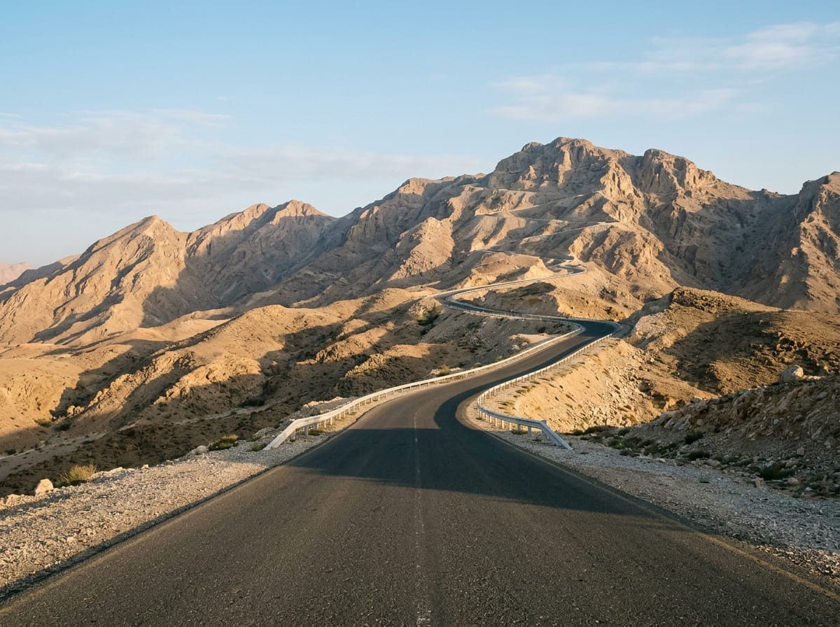
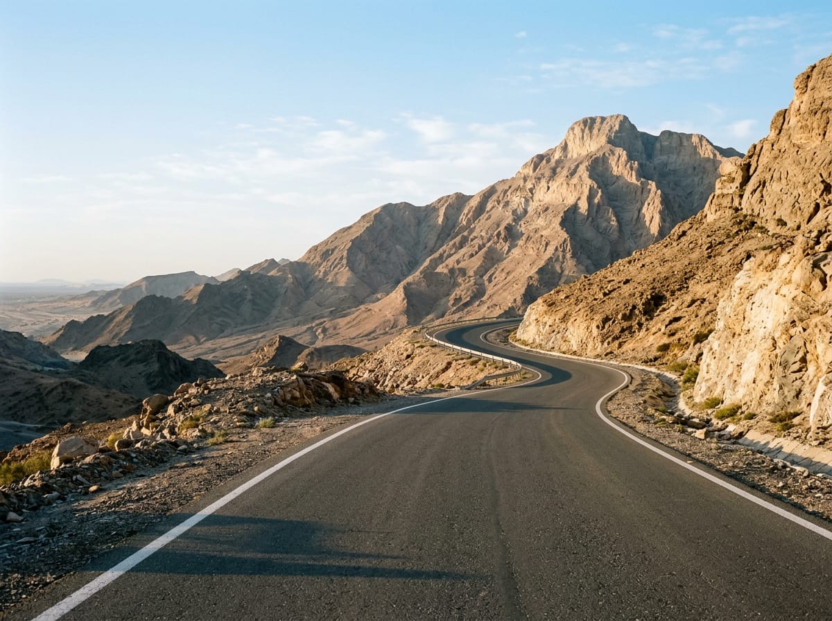
The loop leaves Al Ain and passes Al Bateen at 2.5 km and Al Salamat at 4.8 km, where the route touches its low point of 233 m. Through Al Dahma at 13.9 km the road stays level, and a fuel station at 22.6 km is the only marked stop on this stretch. Just 16% of the day's 928 m of climbing comes in the first half, so the opening 45 km is essentially a flat approach ridden as far as Ni'mah at 41.4 km. The climb begins at 45.5 km and runs for 9.6 km, gaining 715 m at an average of 7.5% with a maximum of 12.1%, topping out at 991 m. Viewpoints sit at 51.7 km and 55.1 km, with a restaurant and café together at 52.2 km. The high point of the route, 1002 m, comes at 56.3 km, just past the summit of Jabal Hafit at 1108 m, where two more eating places and a further viewpoint are marked. The descent returns past a viewpoint at 63.5 km and through Shi'bat Al Wutah at 71.1 km and Zakhir at 74.7 km, with cafés at 75.1 km and drinking water at 81.6 km near 'Asharij. Al Markhaniyyah at 85.9 km leads back into Al Ain.
| Starts at | Length | Gain | Average | Max | Top |
|---|---|---|---|---|---|
| 45.5 km | 9.6 km | 715 m | 7.5 % | 12.1 % | 991 m |