 AI image
Road · France
Riding from Sigean means a long, largely flat coastal run of 103.2 km south to Banyuls-sur-Mer, with just 598 m of climbing along the way.
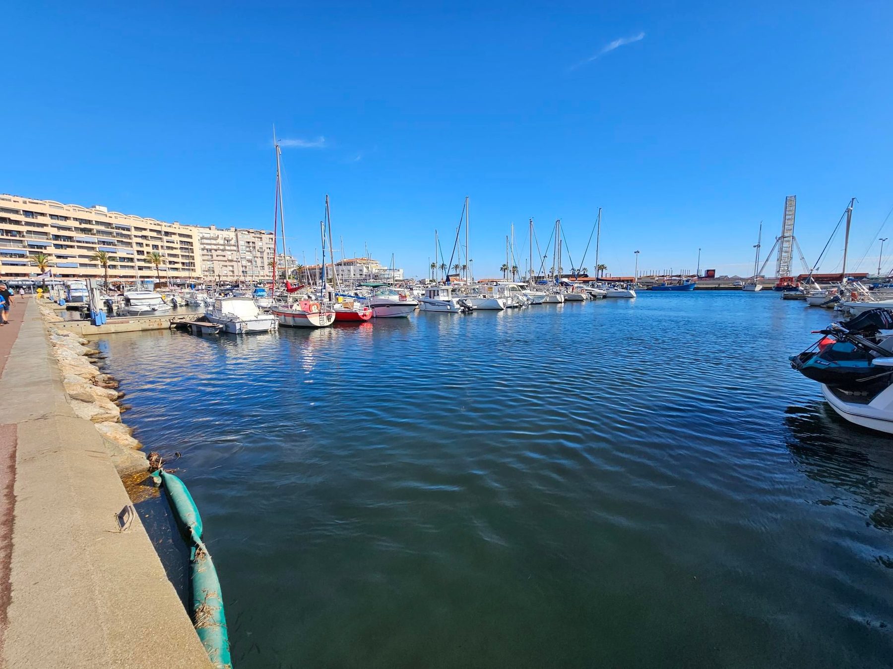
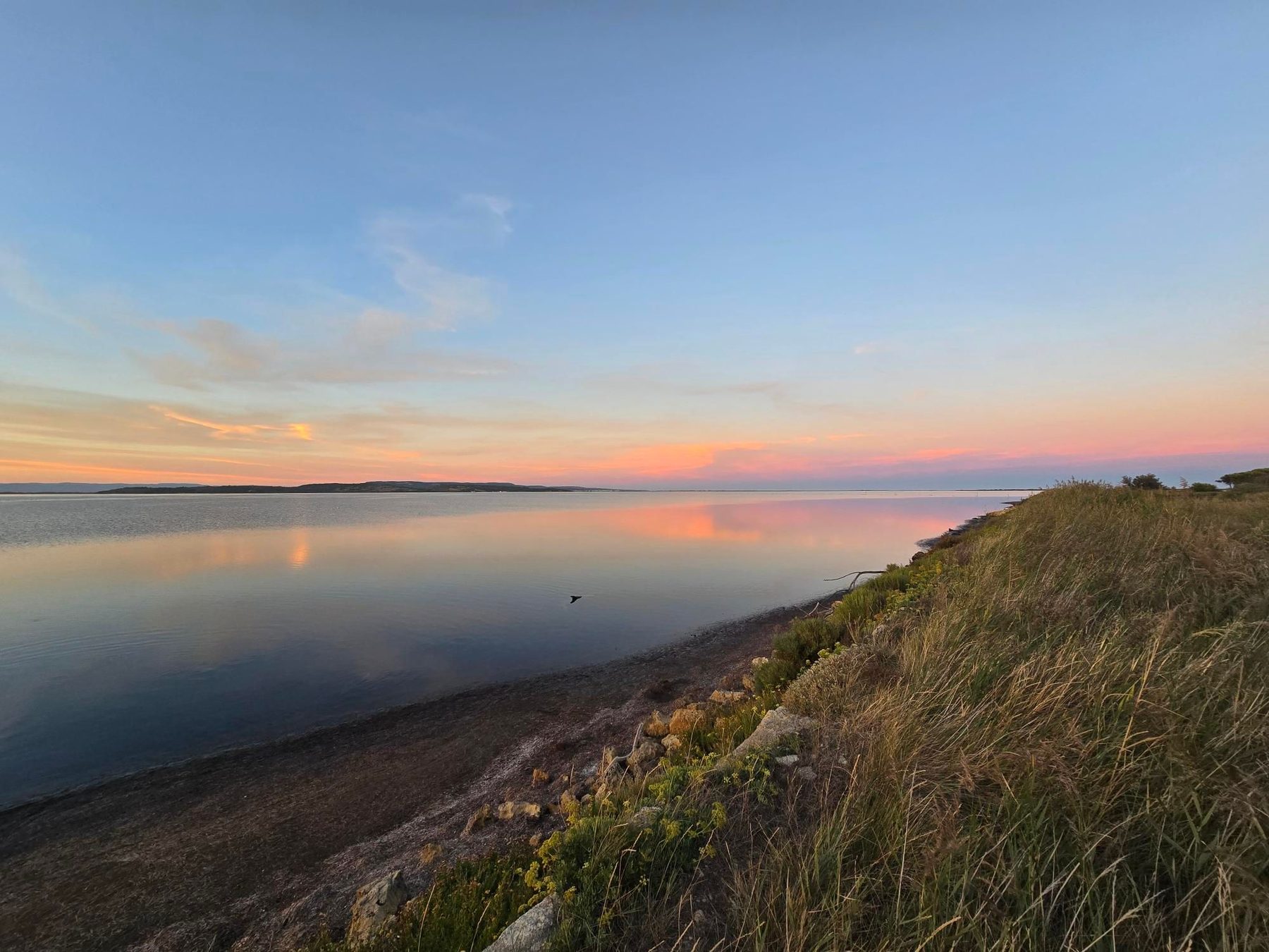
Sigean sits at the northern end of a coastal corridor in Languedoc that carries riders south towards the Mediterranean shore and on into Roussillon. The main outing from the town is a 103.2 km point-to-point to Banyuls-sur-Mer, threading past Le Peyrou, Les Trois Moulins and L'Étang Boyé before reaching La Palme and the Leucate headland at Leucate, Leucate-Plage and Port Leucate. From there the route follows the string of beach settlements: Port Barcarès and Le Barcarès, Torreilles-Plage, Sainte-Marie-Plage and Sainte-Marie-la-Mer, Canet-en-Roussillon, then Saint-Cyprien Plage, Saint-Cyprien and Latour-Bas-Elne. Beyond Argelès-Plage and Le Racou the coast steepens through Collioure and Port-Vendres, with Cosprons, La Guinelle, Mas Perotet and Mas Reig on the final approach to Banyuls-sur-Mer. Total climbing is 598 m over the full distance, so the day is defined more by its length than by any single ascent.