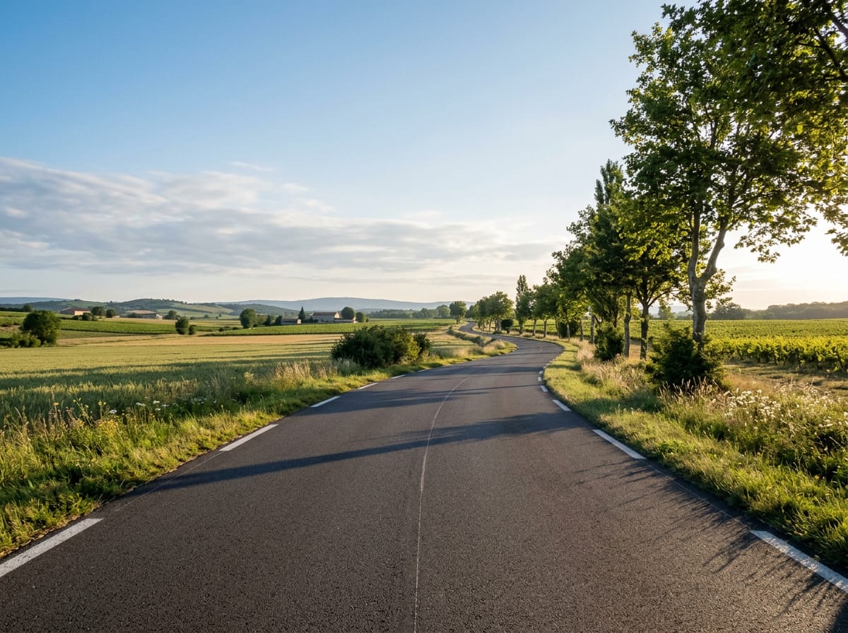
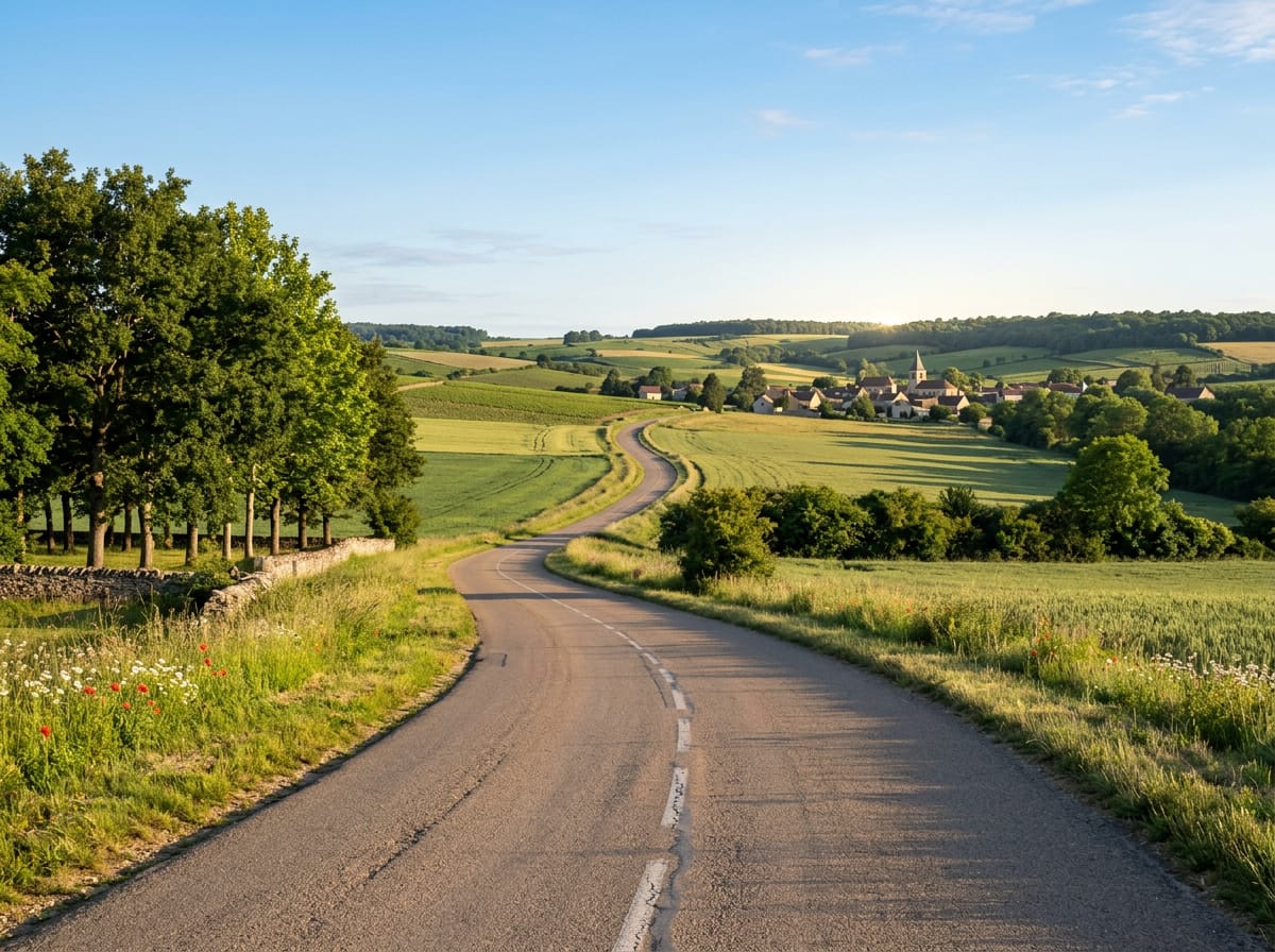
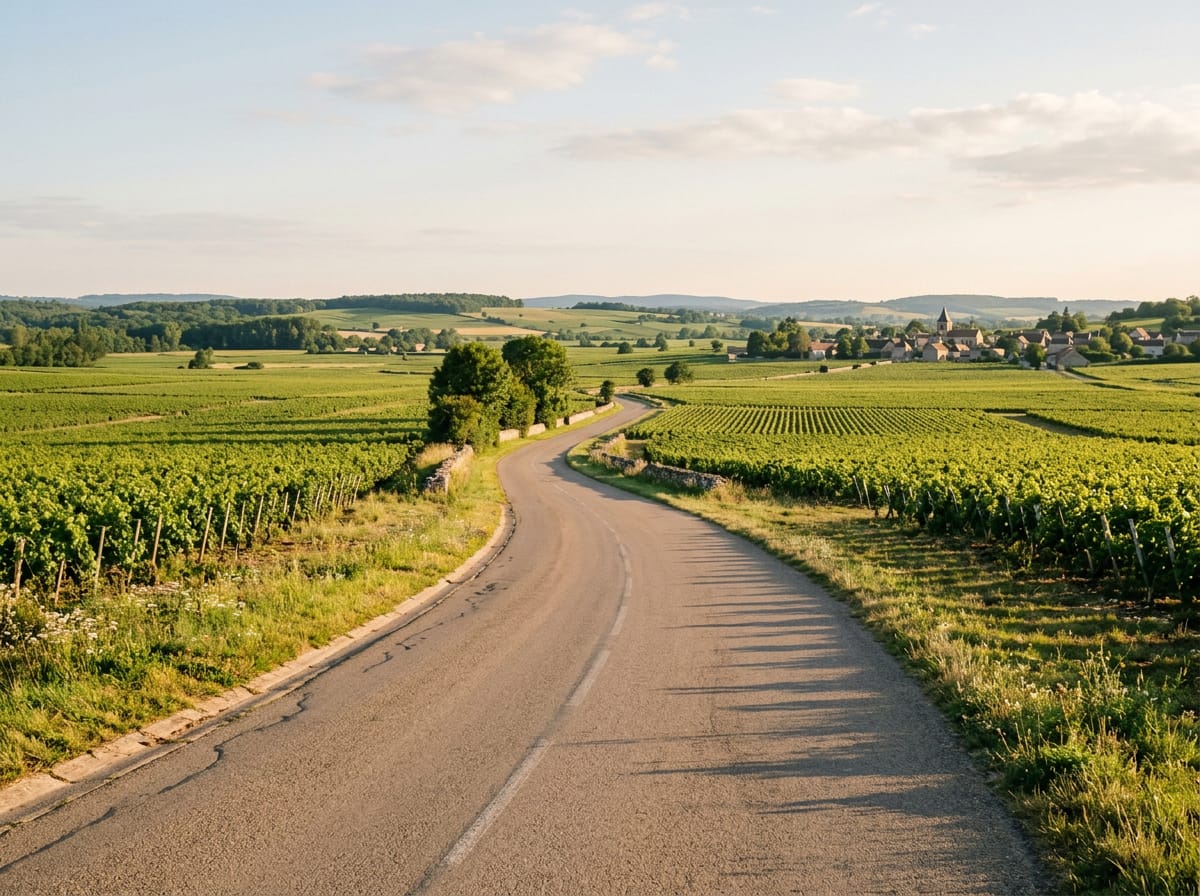
 AI image
Road · France
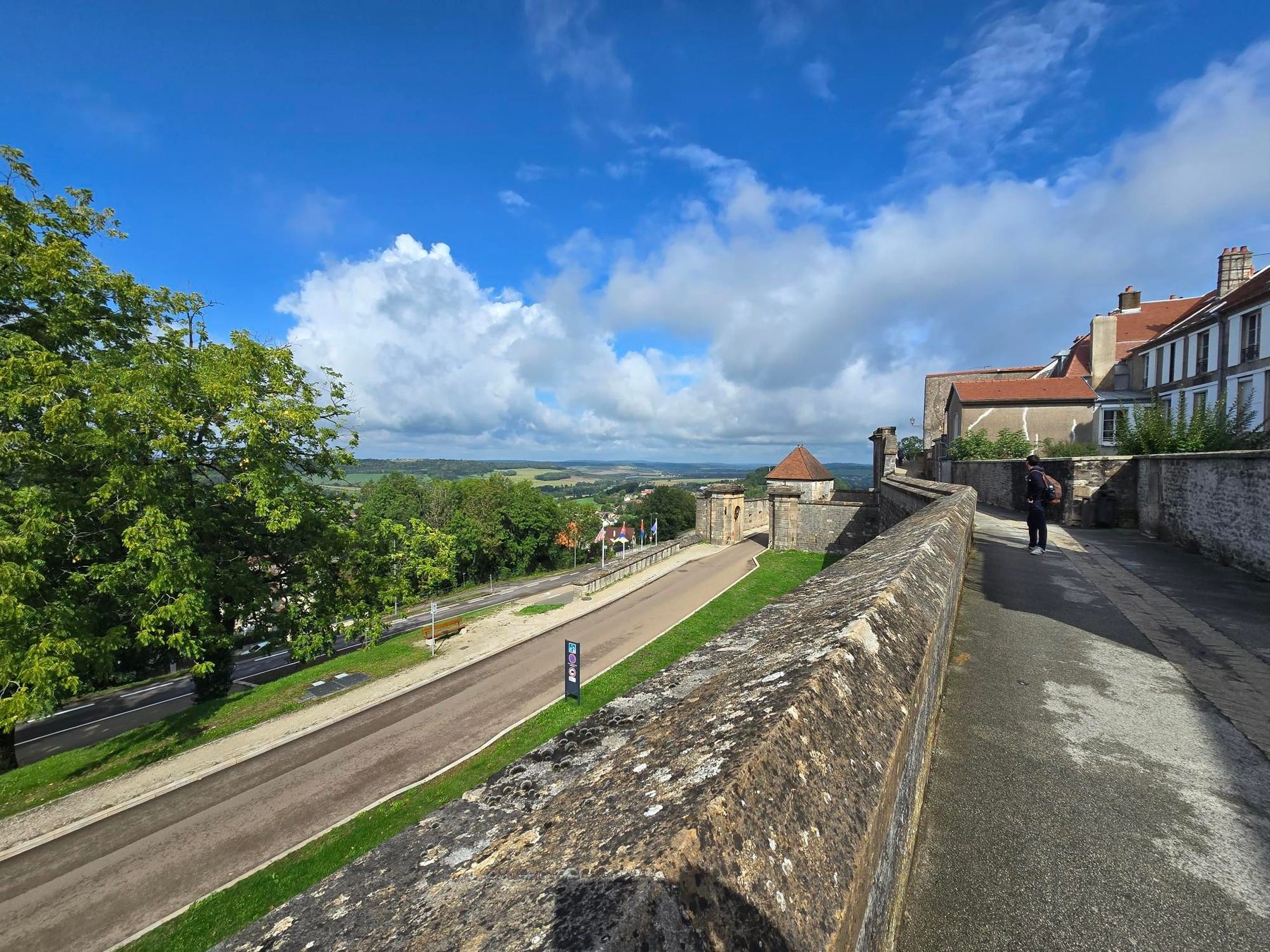
Riding from Chaumont means a rolling 43.8 km run south to Langres through small Haute-Marne villages, finishing on a 2.7 km climb at 4.8%.
Chaumont sits at the head of a corridor of quiet Champagne-Ardenne countryside that leads south towards Langres. The main route out of town covers 43.8 km point to point with 412 m of climbing, leaving via Chamarandes-Choignes and Chamarandes, then Le Haut du Val and Brottes before threading through Neuilly-sur-Suize, Crenay and Rochevilliers. Beyond Leffonds and Marac the road passes Beauchemin and Saint-Ciergues, reaching a high point of 470 m, then continues by Saint-Martin-lès-Langres, Melville, Humes and Jorquenay. The final section runs through Champigny-lès-Langres, Saint-Gilles and Brévoines, where the day's biggest climb starts at 39.8 km: 2.7 km at an average of 4.8% with a maximum of 8.1%, gaining 128 m to top out at 461 m on the approach to Langres. It is a route of steady, linked village-to-village riding rather than sustained mountain work.