
Cyclists.com

Col de Val Louron-Azet from Saint-Lary-Soulan

Saint-Lary-Soulan, FranceRoad

Routed from the map This classic road was traced on OpenStreetMap and measured against the terrain model; no member has recorded it yet. Ridden it? Add your recording and photos.

12 km
Distance
752 m
Elevation gain
Moderate
Difficulty
Paved
Surface
Download GPXMap

Elevation profile

Total ascent
752 m
Distance
12 km
05001,0001,5002,000m0 km2.557.51011 km1,571 m · highest, at 11.5 kmStartFinish

Route overview

This ride suits cyclists looking for a short 11.5 km climb with 750 m elevation gain.

Col de Val Louron-Azet from Saint-Lary-Soulan, an 11.5 km climb in France with 752 m elevation gain.

The ride starts in Saint-Lary-Soulan and passes through Vignec, Cadeilhan, Trachère, Sailhan, Estensan, and Ens. The climb begins at 0.2 km and continues for 11.3 km with a total elevation gain of 750 m, averaging 6.7% gradient and peaking at 9.9%. The highest point of the route is at 1571 m, reached around 11.4 km. The lowest point is at the start in Saint-Lary-Soulan at 819 m. The road surface is fully paved. Most of the route (93%) is on minor roads, with 0.7 km on quiet streets. The ride is primarily climbing with 97% ascent, including 8.3 km over 5% gradient and 4.5 km steeper than 8%. The D 225 is the main road used for 8.8 km. There is a stretch of 5.4 km from 6 km to the top with no café, shop, or water available. At the start, several cafés, bakeries and shops are available including L'Épi d'Aure bakery and Le Petit Casino convenience store near the beginning. Drinking water can be found near the start and at about 4.6 km. Toilets are located near Saint-Lary Accès Téléphérique at 0.2 km. A bike shop is also conveniently located near the start. The climb offers a stop-worthy peak, Tuc de Couret, near the top at 11.4 km.

Highlights

  • Climb up to 1571 m Col de Val Louron-Azet
  • Passes through Sailhan and Estensan
  • Long 8.8 km on road D 225
  • Peak Tuc de Couret near the summit

Along the route

Measured from the recorded track and OpenStreetMap.

Places passed

  1. Sailhan 2.6 km
  2. Estensan 4.1 km
  3. Ens 5.1 km
  4. Azet 6 km

On the road

  • Water 0 km
  • Le desman Café (Café) 0 km
  • La Galette d'Or (Restaurant) 0 km
  • La Main à la Pâte (Restaurant) 0 km
  • La Pergola (Restaurant) 0 km
  • Le Gros Minet (Restaurant) 0 km
  • Pizza Luigi (Restaurant) 0 km
  • Le spioulet (Restaurant) 0 km
  • Water 0 km
  • Hôtel Mir (Restaurant) 0 km
  • La cantina local (Restaurant) 0 km
  • Coucaril (Café) 0 km

Climbs

ClimbStarts atLengthGainAverageMaxTop
Val Louron-Azet0.2 km11.3 km750 m6.7 %9.9 %1571 m

High point 1571 m at 11.4 km; low point 819 m. Passes beneath Rocher de Peyres Aubes, Tuc de Labatiadère, Tuc de la Boup.

Val Louron-Azet · starts at 0.2 km

11.3 km at 6.7% · 750 m
9001,0001,1001,2001,3001,4001,500m6.8%9.3%8.1%8.2%8.9%8.3%5.2%7.0%0 km1234567891011.2 km1,571 msteepest 9.3%
< 4%4 – 7%7 – 10%> 10%

Practical information

Surface
Paved
Route shape
Point to point
Riding time
49 min
Best months
May to Oct — daily highs of 17–24 °C in those months

Know before you go

  • No café, shop or water from 6 km to 11.4 km (5.4 km)

Routes are for inspiration. Roads, surfaces and conditions change — check locally and ride within your limits.

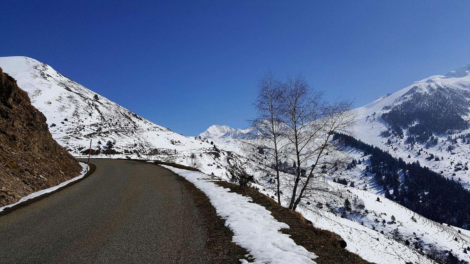
2 photographs from the road

Photo: Gilles Guillamot · CC BY-SA 3.0 · Wikimedia Commons · Photo: Tournasol7 · CC BY 4.0 · Wikimedia Commons

More rides from Saint-Lary-Soulan