
Cyclists.com

Col de Portet from Saint-Lary-Soulan

Saint-Lary-Soulan, FranceRoad

Routed from the map This classic road was traced on OpenStreetMap and measured against the terrain model; no member has recorded it yet. Ridden it? Add your recording and photos.

18 km
Distance
1,397 m
Elevation gain
Moderate
Difficulty
Paved
Surface
Download GPXMap

Elevation profile

Total ascent
1,397 m
Distance
18 km
05001,0001,5002,0002,500m0 km5101518 km2,208 m · highest, at 17.6 kmStartFinish

Route overview

This ride suits cyclists looking for a challenging 17.6 km mountain climb with significant elevation gain.

A 17.6 km climb from Saint-Lary-Soulan to Col de Portet in France with 1397 m ascent.

Starting from Saint-Lary-Soulan near Trachère and Vignec, the route begins its main climb at 1.3 km. This 16.2 km ascent gains 1387 m at an average gradient of 8.6%, reaching a height of 2207 m at the Col de Portet. The gradient is sustained with 16 km over 5%, 11.3 km over 8%, and 3.6 km over 10%, with a maximum gradient of 11.1%. The climb passes places including Vielle-Aure at 2.2 km, Soulan at 6.5 km, and Espiaube at 9.4 km. The road surface is 99% paved with a negligible 1% unpaved, mostly on minor roads (9.4 km) and main roads (7.2 km) including the Route du Col de Portet and D 123. The main roads have no cycle lanes over the full 7.2 km section. Cafés and shops are available at the start within Saint-Lary-Soulan, including the Coucaril café and Carrefour Montagne convenience store, but the longest stretch without café, shop or water spans 9.3 km between 6.3 km and 15.6 km. The route finishes near La Tourette peak (2328 m) and Soum de Terre Nère (2331 m).

Highlights

  • Col de Portet summit at 2207 m
  • La Tourette peak nearby at 2328 m
  • Long climb of 16.2 km starting at km 1.3
  • Route du Col de Portet and D 123 roads

Along the route

Measured from the recorded track and OpenStreetMap.

Places passed

  1. Vielle-Aure 2.2 km
  2. Soulan 6.5 km
  3. Espiaube 9.4 km

On the road

  • Pizza Pic (Restaurant) 0 km
  • Water 0 km
  • Water 0 km
  • Water 0 km
  • La Tute (Restaurant) 0 km
  • Le Central (Restaurant) 0 km
  • Le desman Café (Café) 0 km
  • Le Gros Minet (Restaurant) 0 km
  • Pizza Luigi (Restaurant) 0 km
  • La Cas A Tom (Restaurant) 0 km
  • Izard café central (Restaurant) 0 km
  • Le téléf' (Restaurant) 0 km

Climbs

ClimbStarts atLengthGainAverageMaxTop
La Tourette1.3 km16.2 km1387 m8.6 %11.1 %2207 m

High point 2207 m at 17.5 km; low point 810 m. Passes beneath Cap de Pède, La Tourette, Soum de Terre Nère.

La Tourette · starts at 1.3 km

16.2 km at 8.6% · 1387 m
1,0001,2001,4001,6001,8002,0002,200m9.7%9.5%7.1%10%6.5%7.4%8.5%8.9%9.2%9.0%6.6%9.0%7.8%0 km12345678910111213141516.2 km2,207 msteepest 10.6%
< 4%4 – 7%7 – 10%> 10%

Vignec climb · starts at 1.3 km

10.7 km at 7.9% · 848 m
9001,0001,1001,2001,3001,4001,5001,600m11%9.7%9.5%7.1%10%6.2%5.9%6.8%2.4%0 km1234567891010.7 km1,668 msteepest 10.6%

Practical information

Surface
Paved
Route shape
Point to point
Riding time
1 h 15 min
Best months
May to Oct — daily highs of 17–24 °C in those months

Know before you go

  • Longest stretch without café, shop or water: 9.3 km from km 6.3 to 15.6
  • 7.2 km on main roads without a cycle lane

Routes are for inspiration. Roads, surfaces and conditions change — check locally and ride within your limits.

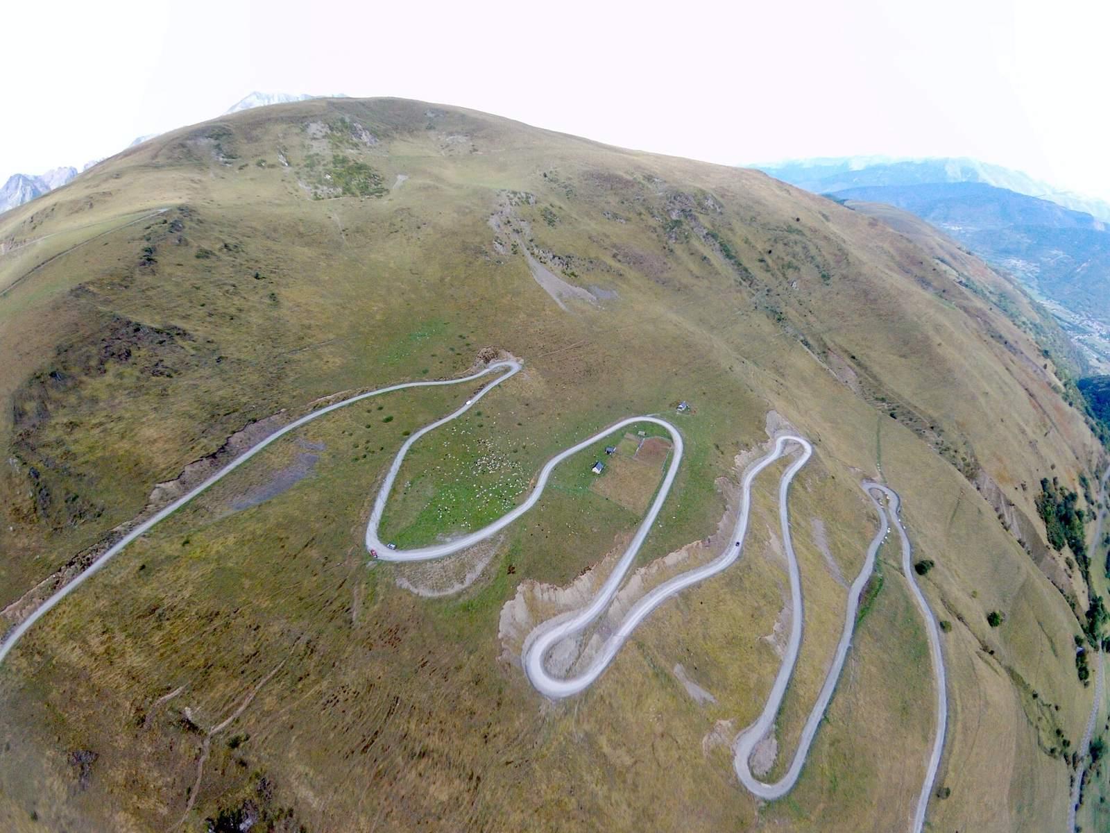
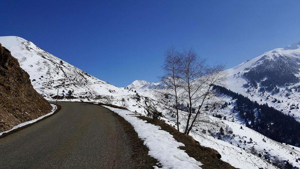
5 photographs from the road

Photo: Teddy65170 · CC BY-SA 4.0 · Wikimedia Commons · Photo: Sotos · CC BY 4.0 · Wikimedia Commons · Photo: Guillaume336 · Public domain · Wikimedia Commons · Photo: Gilles Guillamot · CC BY-SA 3.0 · Wikimedia Commons · Photo: PIERRE ANDRE LECLERCQ · CC BY-SA 4.0 · Wikimedia Commons

More rides from Saint-Lary-Soulan