
Col Agnel from Pontechianale
- 16 km
- 1,028 m
- Moderate
- Paved
Elevation profile
- 1,028 m
- 16 km
Route overview
Suitable for cyclists prepared for a short but steep climb with over 1000 m elevation gain.
A 16 km climb from Pontechianale to Col Agnel in Italy with 1028 m elevation gain.
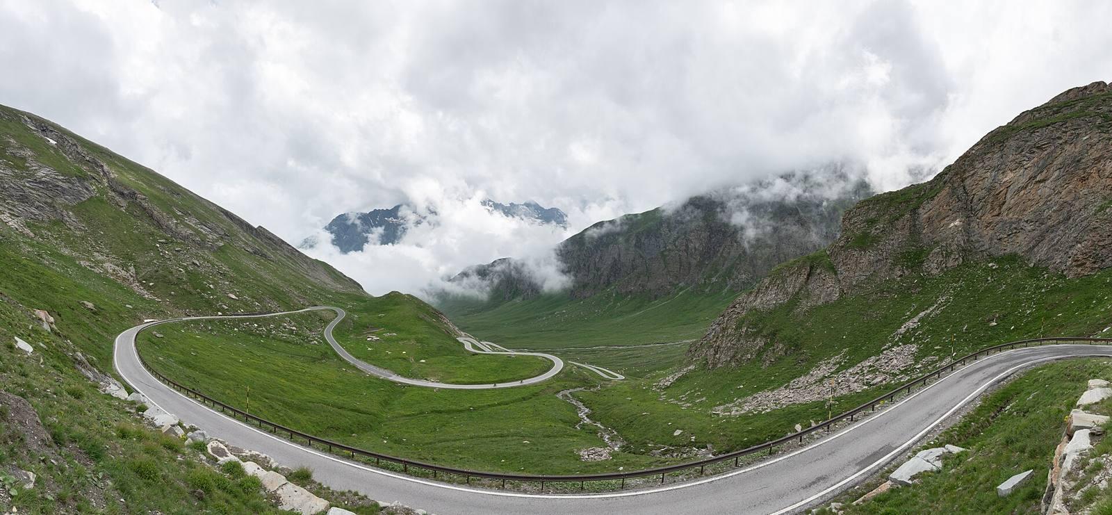
The route begins near Pontechianale at 2.9 km and immediately passes through Genzana and a forest area. The main climb starts at km 3, ascending 12.9 km with an average gradient of 8%, reaching a maximum of 11.9%, to a summit altitude of 2726 m at 15.9 km. The climb accounts for 80% of the route's length and includes 9.2 km over 5% gradient, 8 km over 8%, and 5 km over 10% gradient. The surface is predominantly paved (86%), mainly on the SP251 main road covering 12.7 km, with 2.9 km on track. There are no cycle lanes on the main road section. Riders pass through Chianale at 6.1 km, where a restaurant and convenience store are located slightly off-route. Drinking water can be found at several points along the route, including springs near km 9.3 and 14.4. The longest stretch without a café, shop, or water is 5.1 km between km 9.3 and 14.4. Ruins worth seeing are near km 6.6 and 9.7, close to the route.
Highlights
- Col Agnel summit at 2726 m
- Punta dell'Alp peak at 3031 m nearby
- Steep gradients up to 11.9%
- Ruins near km 6.6 and 9.7
Along the route
Places passed
On the road
Climbs
| Climb | Starts at | Length | Gain | Average | Max | Top |
|---|---|---|---|---|---|---|
| Dente dell'Agnello | 3 km | 12.9 km | 1027 m | 8 % | 11.9 % | 2726 m |
Dente dell'Agnello · starts at 3 km
Practical information
- Paved
- Point to point
- 1 h 09 min
- Jul — daily highs of 17 °C in those months
Know before you go
- 12.7 km on main roads without cycle lanes
- 5.1 km longest stretch without café, shop or water
- Steep gradients up to 11.9%
- 14% gravel or unpaved road