
Cycling in Pontechianale
Riding from Pontechianale offers a steep climb to Col Agnel, passing through Genzana, forest, and Chianale.
- 16 km
- 1,028 m
- 2,726 m
The ride from Pontechianale
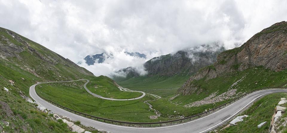
Col Agnel from Pontechianale
A 16 km climb from Pontechianale to Col Agnel in Italy with 1028 m elevation gain.
Map, profile and GPXRiding in Pontechianale in numbers
- High point
- 2,726 m on Col Agnel from Pontechianale
- Climbs
- 1 named climb · 1 ascent of 500 m or more
When to ride in Pontechianale
Best months: Jul.
-3°-11°J9
-1°-10°F9
-1°-8°M10
2°-5°A13
7°-2°M18
13°4°J20
17°6°J17
16°6°A18
11°2°S15
8°-1°O12
1°-6°N11
-1°-9°D9
BestFineHard goingRain days per month under each bar · typical wind 9 km/h from the W
Nearby destinations
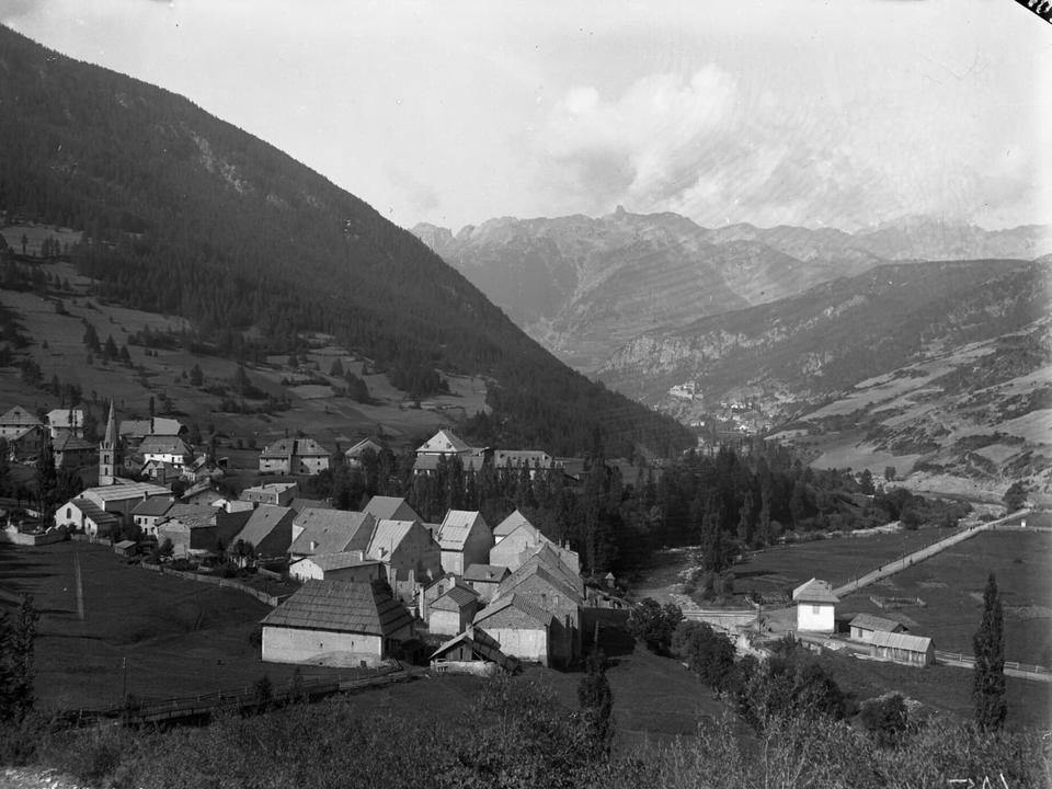 Photo: Ferrand, Henri (1853-1926). Photographe · Public domain · Wikimedia Commons
Château-Ville-Vieille
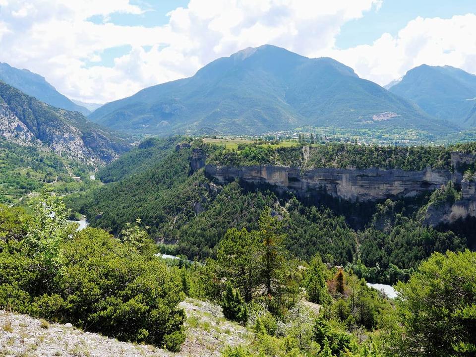 Photo: Zairon · CC BY 4.0 · Wikimedia Commons
Guillestre
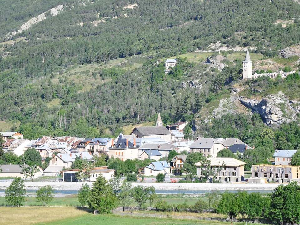 Photo: Alpes de Haute Provence · CC BY 2.0 · Wikimedia Commons
Jausiers
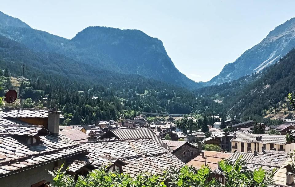 Photo: Hairless Heart · CC BY-SA 4.0 · Wikimedia Commons
Cesana Torinese
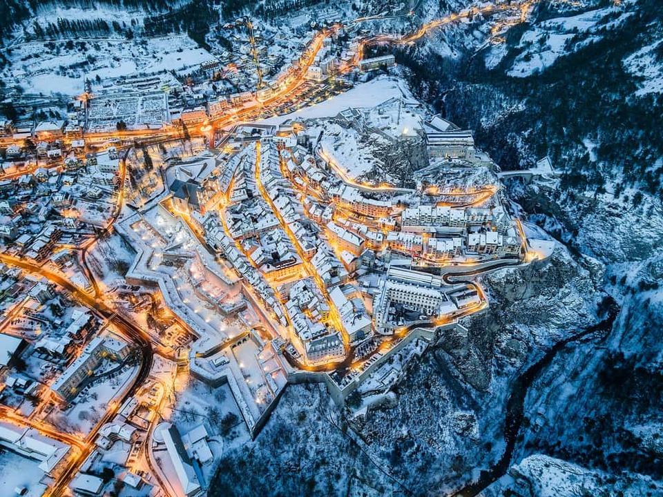 Photo: Poinas.thi · CC BY-SA 4.0 · Wikimedia Commons
Briançon
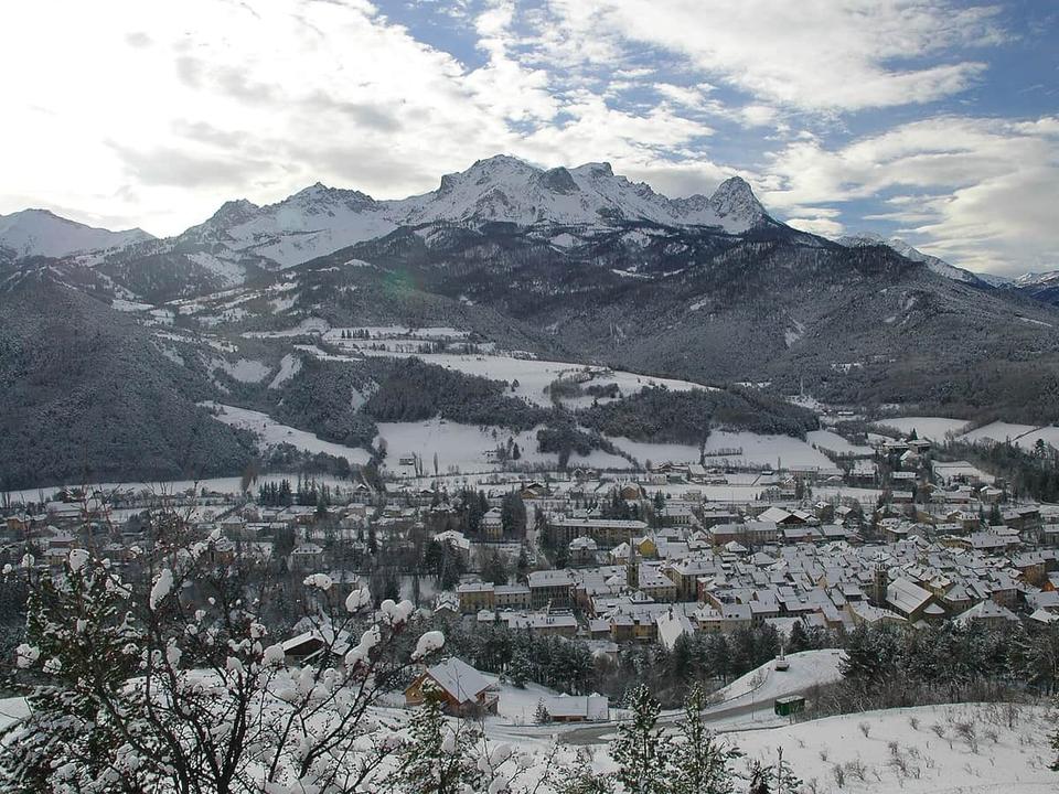 Photo: Caturegli Christophe · CC BY-SA 3.0 · Wikimedia Commons
Barcelonnette
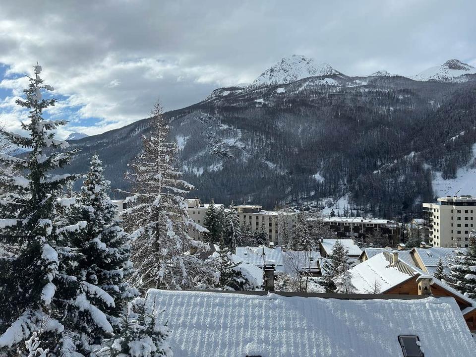 Photo: Louis Barret · CC0 · Wikimedia Commons
Saint-Chaffrey
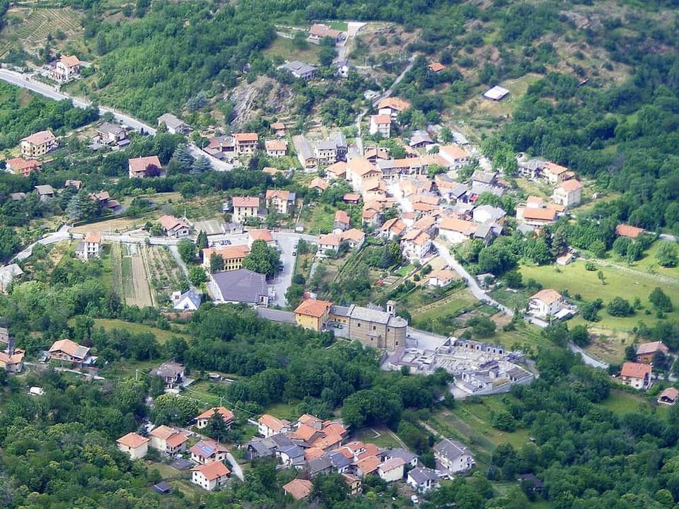 Photo: F Ceragioli · CC BY-SA 3.0 · Wikimedia Commons
Meana di Susa
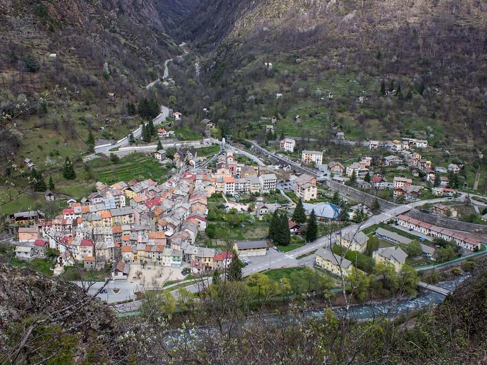 Photo: Spitfire06 · CC BY-SA 4.0 · Wikimedia Commons
Isola
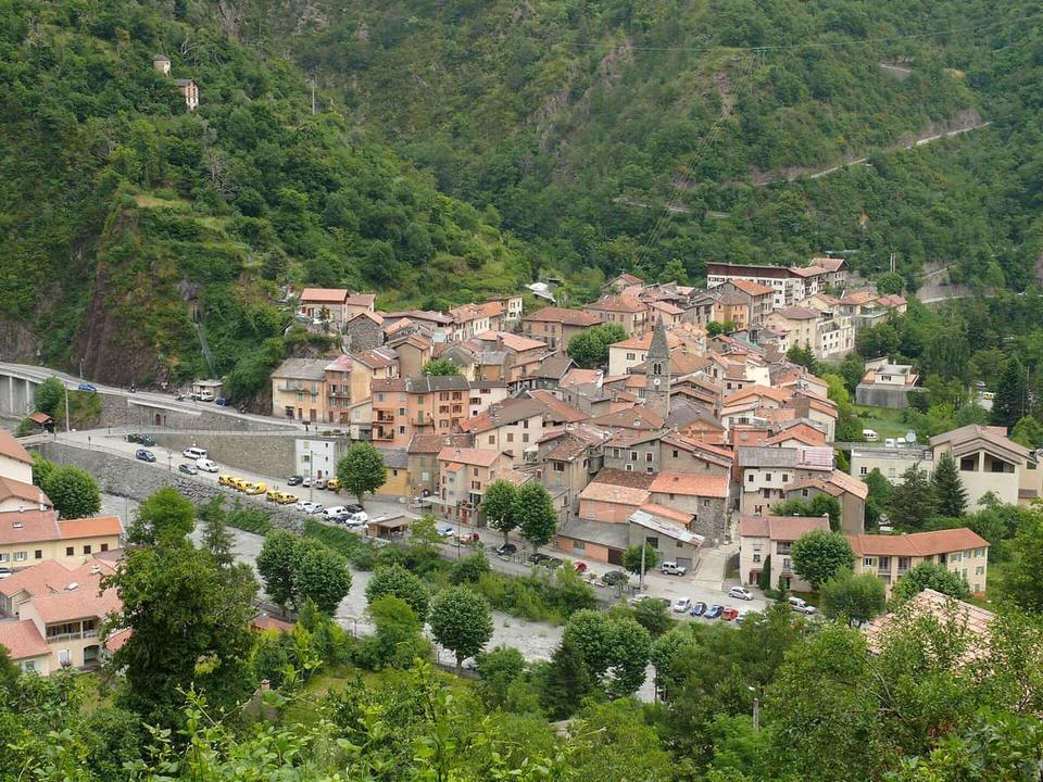 Photo: MOSSOT · CC BY 3.0 · Wikimedia Commons
Saint-Sauveur-sur-Tinée