
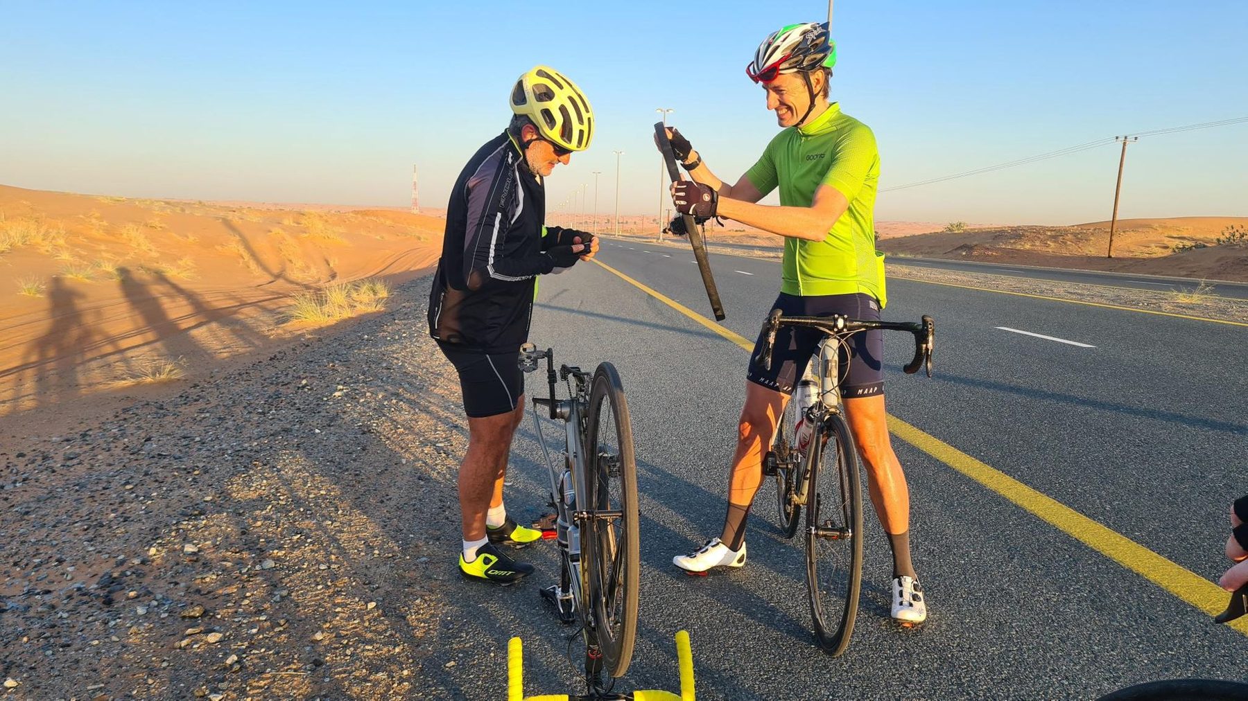
Road · United Arab Emirates
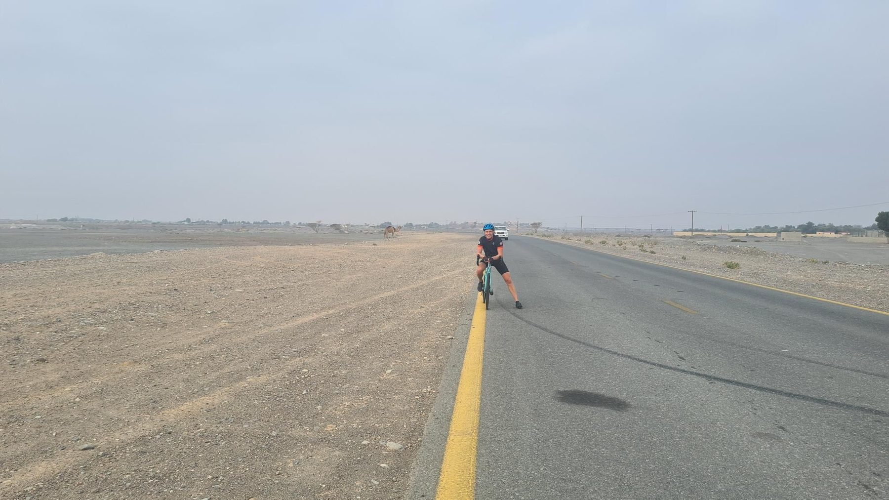
Suited to riders comfortable with a long day of 165.7 km, though the modest 841 m of climbing keeps the gradients within reach.
A 165.7 km point-to-point across the Hajar Mountains from Nazwa to the east coast at Al Aqqah, with 841 m of climbing.
The route sets off from Nazwa, beneath the 200 m rise of Qarn Nazwa, and drops to its lowest point of 136 m at km 6 before working inland through Al Dafain, Sha'biyyat Bahayis and the villages of Filli and Musseili. This first section is where nearly all the work sits: 79% of the total climbing comes in the first half. The gradient stiffens from km 55.2 with a 2.5 km rise averaging 2.7% to 335 m, then a second pull of 3.2 km at 2.6% (5.2% maximum) topping out at 442 m, passing beneath Jabal Al Hinnah (637 m) and Jabal Ash Shahayrah (532 m). The high point of 458 m falls at km 63.5, after which the road descends past Munay, Al Qilē'ī and Minazif, with Jabal Al Miqsha (400 m) to the side. From around km 103 the ride becomes coastal and built-up, running through Kalba, Sakamkam, Qurayyah, Mirbah and Khor Fakkan, where cafés, restaurants and fuel stations are frequent. The final stretch threads Lulayyah, Al Badīyah and Sharm to finish at Al Aqqah.
| Starts at | Length | Gain | Average | Max | Top |
|---|---|---|---|---|---|
| 55.2 km | 2.5 km | 66 m | 2.7 % | 4.4 % | 335 m |
| 59.9 km | 3.2 km | 83 m | 2.6 % | 5.2 % | 442 m |