
Cyclists.com

Val Thorens from Moûtiers

Moûtiers, FranceRoad

Routed from the map This classic road was traced on OpenStreetMap and measured against the terrain model; no member has recorded it yet. Ridden it? Add your recording and photos.

34 km
Distance
1,868 m
Elevation gain
Hard
Difficulty
Paved
Surface
Download GPXMap

Elevation profile

Total ascent
1,868 m
Distance
34 km
05001,0001,5002,0002,500m0 km102034 km2,320 m · highest, at 32.6 kmStartFinish

Route overview

Cyclists seeking a challenging long climb with nearly 1900 m ascent over 34 km.

A 34 km climb from Moûtiers to Val Thorens in France, gaining 1868 m on paved roads including two main climbs.

Starting from Moûtiers at 481 m, the route immediately begins climbing with the first major climb from km 0.7 to km 13.6. This climb is 12.9 km long, gaining 744 m at an average gradient of 5.8% and maximum of 11.1%, with the top at 1228 m. The next section includes minor roads, cycle paths and some main roads without cycle lanes. The second major climb begins at km 14.2 and continues for 17.7 km, climbing 1118 m at an average of 6.3% and maximum gradient of 13.1%, reaching the highest point of 2320 m near km 31.9.

Highlights

  • First climb 12.9 km, 744 m gain, avg gradient 5.8%
  • Second climb 17.7 km, 1118 m gain, max gradient 13.1%
  • Highest elevation 2320 m at 31.9 km
  • Route uses D 96 for 11.7 km and D 117 for 7.3 km

Along the route

Measured from the recorded track and OpenStreetMap.

Places passed

  1. Villarlurin 3.2 km
  2. Fontaine-le-Puits 5.2 km
  3. La Côte Derrière 8.6 km
  4. La Tour 8.8 km
  5. Le Mas 9.1 km
  6. Villartier 10.1 km
  7. Saint-Laurent-de-la-Côte 11 km
  8. Planvillard 12.4 km
  9. La Rochette 13.5 km
  10. Les Varcins 14.2 km
  11. Les Frênes 14.9 km
  12. Le Villard 15.8 km
  13. Villarbon 16 km
  14. Les Belleville 16.8 km
  15. Saint-Martin-de-Belleville 17.3 km
  16. Caseblanche 18.4 km
  17. Saint-Marcel 19.2 km
  18. Les Granges 20.8 km
  19. Praranger 22 km
  20. Le Bettex 23.2 km
  21. Le Levassaix 23.7 km
  22. Hameau des Marmottes 24.6 km
  23. Les Ménuires 25.3 km
  24. Les Fontanettes 26 km
  25. Les Bruyères 26.2 km
  26. l'Etelé 28 km

On the road

  • Viewpoint 0.1 km
  • Le Clem-Tom (Restaurant) 0.2 km
  • La Voûte (Restaurant) 0.2 km
  • Le Petit Resto d'Adriano (Restaurant) 0.2 km
  • Mic Mac (Restaurant) 0.2 km
  • Le Cardinal (Restaurant) 0.2 km
  • La Valtellina (Restaurant) 0.2 km
  • Water 0.2 km
  • Water 0.2 km
  • La Station savoyarde (Restaurant) 0.3 km
  • La Chaumière (Restaurant) 0.3 km
  • Mai Thai (Restaurant) 0.3 km

Climbs

ClimbStarts atLengthGainAverageMaxTop
Moûtiers climb0.7 km12.9 km744 m5.8 %11.1 %1228 m
Les Varcins climb14.2 km17.7 km1118 m6.3 %13.1 %2320 m

High point 2320 m at 31.9 km; low point 481 m. Passes beneath Grande Roche.

Moûtiers climb · starts at 0.7 km

12.9 km at 5.8% · 744 m
5006007008009001,0001,1001,200m6.2%9.5%8.1%8.4%4.4%2.1%8.2%6.2%5.4%0 km12345678910111212.9 km1,226 msteepest 9.5%
< 4%4 – 7%7 – 10%> 10%

Les Varcins climb · starts at 14.2 km

17.7 km at 6.3% · 1118 m
1,4001,6001,8002,0002,200m7.7%4.9%2.5%2.8%4.8%7.6%7.5%5.2%6.4%7.0%8.0%12%6.9%8.9%3.4%0 km1234567891011121314151617.7 km2,320 msteepest 11.7%

Practical information

Surface
Paved
Route shape
Point to point
Riding time
2 h 25 min
Best months
May to Oct — daily highs of 19–27 °C in those months

Know before you go

  • 8.8 km on main roads without a cycle lane
  • 3.8 km on roads with speed limits of 80 km/h or more
  • Longest stretch without café, shop or water is 6.5 km from 2.6 km to 9.1 km

Routes are for inspiration. Roads, surfaces and conditions change — check locally and ride within your limits.

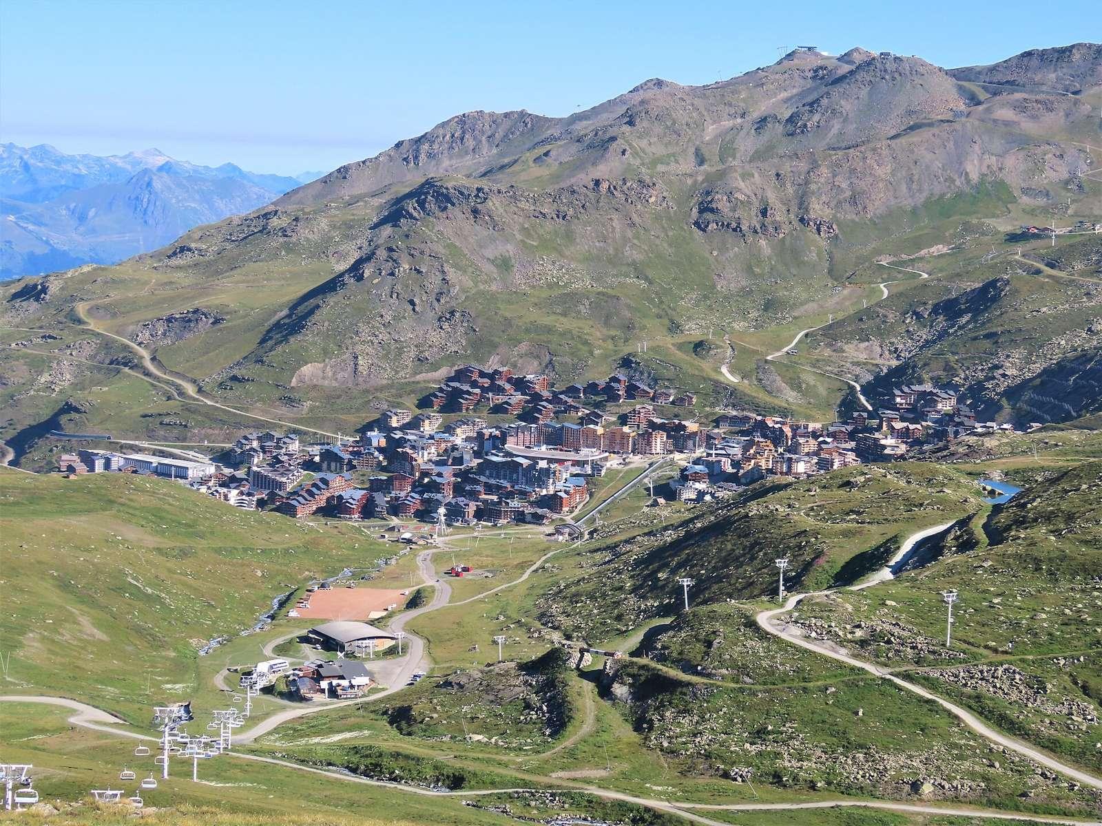
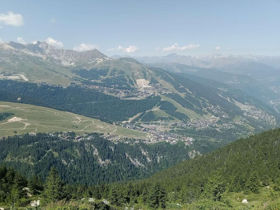
2 photographs from the road

Photo: Rémih · CC BY-SA 4.0 · Wikimedia Commons

More rides from Moûtiers