
Cyclists.com

Courchevel from Moûtiers

Moûtiers, FranceRoad

Routed from the map This classic road was traced on OpenStreetMap and measured against the terrain model; no member has recorded it yet. Ridden it? Add your recording and photos.

24 km
Distance
1,351 m
Elevation gain
Moderate
Difficulty
Paved
Surface
Download GPXMap

Elevation profile

Total ascent
1,351 m
Distance
24 km
05001,0001,5002,000m0 km510152024 km1,752 m · highest, at 23.6 kmStartFinish

Route overview

This ride suits cyclists ready for a tough, sustained climb over 23.6 km with 1351 m elevation gain.

A 23.6 km climb from Moûtiers to Courchevel in France, gaining 1351 m on mainly paved roads.

This point-to-point ride starts at Moûtiers (481 m) and climbs 1351 m to Courchevel (1752 m) over 23.6 km. The route features two main climbs: the first 3.7 km averaging 4.9% gradient with a max of 8.3%, and a longer 17.5 km section averaging 6.7% with max gradients reaching 13.1%. The majority of climbing (88%) is concentrated on 16 km above 5% gradient. The surface is 99% paved with just 1% unpaved. The route includes 61% main roads, 26% minor roads, and 12% quiet streets. Notably, 14.2 km are on main roads without a cycle lane, mainly on D 91a (10.9 km) and D 915 (3.7 km). The longest descent covers 1.3 km starting near 4.4 km. Water and food are available periodically, with no café, shop, or water between 1.6 km and 5.6 km (4 km stretch). Amenities include several bakeries, restaurants, convenience stores and petrol stations at various points along the way. Moûtiers offers bakery, restaurants, and a train station for bailout. Courchevel finish offers bakery, restaurants, supermarket, pharmacy, and bike shops. Toilets are spaced along the route at 0.4, 6.3, 17.8 and 23.4 km.

Highlights

  • Climb to Courchevel reaching 1752 m
  • D 91a road for 10.9 km
  • Longest descent 1.3 km at km 4.4
  • Four cafés and shops spread along route

Along the route

Measured from the recorded track and OpenStreetMap.

Places passed

  1. Villarlurin 2.7 km
  2. Les Frasses 4 km
  3. Fontaine 5 km
  4. Brides-les-Bains 6 km
  5. Les Chavonnes 6.5 km
  6. La Giglary 6.9 km
  7. Champetel 7 km
  8. Vignotan 7.2 km
  9. La Perrière 8.1 km
  10. Saint-Jean 8.5 km
  11. Grand Carrey 9.7 km
  12. Le Petit Carrey 10.7 km
  13. La Cuerdy 11.7 km
  14. Le Fontanil 12 km
  15. Saint-Bon-Tarentaise 13.7 km
  16. Courchevel Le Praz 15.5 km
  17. La Choulière 16.7 km
  18. Montgellaz 17.2 km
  19. La Corbière 17.6 km
  20. Courchevel Village 17.9 km
  21. Courchevel Moriond 19.8 km

On the road

  • Viewpoint 0.1 km
  • Le Clem-Tom (Restaurant) 0.2 km
  • La Voûte (Restaurant) 0.2 km
  • Le Petit Resto d'Adriano (Restaurant) 0.2 km
  • Mic Mac (Restaurant) 0.2 km
  • Le Cardinal (Restaurant) 0.2 km
  • La Valtellina (Restaurant) 0.2 km
  • Water 0.2 km
  • Water 0.2 km
  • La Station savoyarde (Restaurant) 0.3 km
  • La Chaumière (Restaurant) 0.3 km
  • Mai Thai (Restaurant) 0.3 km

Climbs

ClimbStarts atLengthGainAverageMaxTop
Moûtiers climb0.4 km3.7 km181 m4.9 %8.3 %662 m
Brides-les-Bains climb5.9 km17.5 km1167 m6.7 %13.1 %1752 m

High point 1752 m at 23.4 km; low point 481 m. Passes beneath Grande Roche.

Moûtiers climb · starts at 0.4 km

3.7 km at 4.9% · 181 m
500550600650m7.1%4.4%2.0%0 km1233.7 km662 msteepest 7.1%
< 4%4 – 7%7 – 10%> 10%

Brides-les-Bains climb · starts at 5.9 km

17.5 km at 6.7% · 1167 m
6008001,0001,2001,4001,600m5.4%6.0%6.9%7.4%7.0%11%7.3%8.0%9.6%3.6%6.2%5.2%6.3%5.4%0 km1234567891011121314151617.4 km1,752 msteepest 10.8%

Practical information

Surface
Paved
Route shape
Point to point
Riding time
1 h 41 min
Best months
May to Oct — daily highs of 19–27 °C in those months

Know before you go

  • 14.2 km on main roads without a cycle lane
  • 4 km with no café, shop or water between 1.6 km and 5.6 km
  • Steep gradients up to 13.1% over 17.5 km

Routes are for inspiration. Roads, surfaces and conditions change — check locally and ride within your limits.

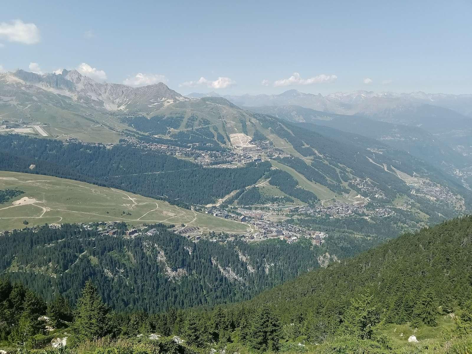
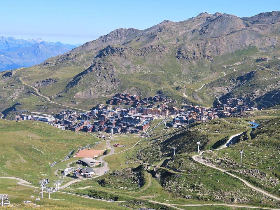
2 photographs from the road

Photo: Rémih · CC BY-SA 4.0 · Wikimedia Commons · Photo: Nikgrech · CC BY-SA 3.0 · Wikimedia Commons · Photo: WASD42 · CC BY 2.0 · Wikimedia Commons

More rides from Moûtiers