
Cyclists.com

Port de Lers from Massat

Massat, FranceRoad

Routed from the map This classic road was traced on OpenStreetMap and measured against the terrain model; no member has recorded it yet. Ridden it? Add your recording and photos.

17 km
Distance
856 m
Elevation gain
Moderate
Difficulty
Paved
Surface
Download GPXMap

Elevation profile

Total ascent
856 m
Distance
17 km
05001,0001,5002,000m0 km51017 km1,512 m · highest, at 16.6 kmStartFinish

Route overview

This climb suits cyclists prepared for a steady 16.6km climb with 856m elevation gain.

16.6km climb from Massat to Port de Lers, gaining 856m on mostly main road D 18 in France.

Starting near Massat, the route begins with a 1.4km climb at an average gradient of 3.5%, gaining 48m to reach 704m height. Immediately after, the main climb follows from 3.1km, stretching over 13.4km with an average 6% gradient and reaching a maximum of 9.2%, culminating at 1511m elevation. The profile is predominantly climbing, with 88% of the route involving ascent and a flat 12%. The highest point is near the finishing at 16.5km. The surface is 99% paved with only 1% gravel or unpaved sections. The route primarily uses the main road D 18, with 98% of the distance on this road and no separate cycle lanes. Amenities such as cafés and restaurants can be found at the start in Massat, including Salon de Thé Couleur Café and several restaurants. There is a restaurant near 12.7km and water available multiple times along the route, including springs at 8.6km and 16.4km. One stretch from km 3.9 to 8.6 has no café, shop, or water for 4.7km.

Highlights

  • Port de Lers summit at 1511m
  • Main climb averages 6%, max 9.2%
  • D 18 main road for 16.2 km
  • Restaurant at 12.7 km

Along the route

Measured from the recorded track and OpenStreetMap.

Places passed

  1. Le Port 3.8 km
  2. Moureous 6 km
  3. Moureau 6.1 km

On the road

  • Le Globe (Café) 0 km
  • Water 0 km
  • Salon de Thé Couleur Café (Café) 0 km
  • L'Oumbass (Restaurant) 0 km
  • Water 0 km
  • Water 0 km
  • Le Maxil' (Restaurant) 0.1 km
  • Water 3.9 km
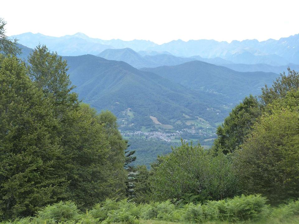
  • Viewpoint 4.7 km
  • Bar Restaurant Glacier de l'Étang de Lers (Restaurant) 12.7 km

Climbs

ClimbStarts atLengthGainAverageMaxTop
1 km1.4 km48 m3.5 %5.2 %704 m
Le Port climb3.1 km13.4 km802 m6 %9.2 %1511 m

High point 1511 m at 16.5 km; low point 656 m. Passes beneath 1423, Serre de la Piède, SN 1555.

Le Port climb · starts at 3.1 km

13.4 km at 6% · 802 m
8009001,0001,1001,2001,3001,4001,500m6.2%7.4%7.0%8.4%7.6%7.5%6.4%6.7%3.4%6.0%0 km12345678910111213.3 km1,511 msteepest 8.4%
< 4%4 – 7%7 – 10%> 10%

Practical information

Surface
Paved
Route shape
Point to point
Riding time
1 h 11 min
Best months
May to Oct — daily highs of 18–24 °C in those months

Know before you go

  • 16.2 km on main roads without cycle lanes
  • 4.7 km longest stretch with no café, shop or water from km 3.9
  • Steep sustained gradient up to 9.2% for 13.4 km

Routes are for inspiration. Roads, surfaces and conditions change — check locally and ride within your limits.

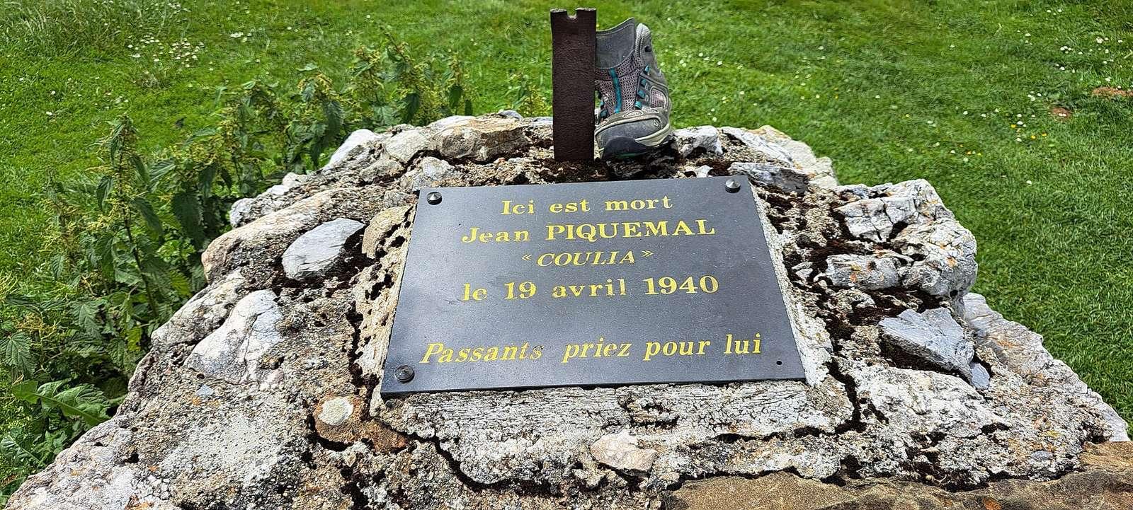
2 photographs from the road

Photo: Selmoval · CC BY-SA 4.0 · Wikimedia Commons · Photo: PierreG_09 · CC BY-SA 2.0 · Wikimedia Commons

More rides from Massat