Cyclists.com

Mur de Péguère from Massat

Massat, FranceRoad

Routed from the map This classic road was traced on OpenStreetMap and measured against the terrain model; no member has recorded it yet. Ridden it? Add your recording and photos.

10 km
Distance
730 m
Elevation gain
Easy
Difficulty
Paved
Surface
Download GPXMap
On the road: Mur de Péguère from Massat

Elevation profile

Total ascent
730 m
Distance
10 km
05001,0001,500m0 km246810 km1,368 m · highest, at 9.9 kmStartFinish

Route overview

Suitable for riders looking for a short but steep climb with significant elevation gain.

A 9.9 km paved climb starting from Massat to 1367 m at Mur de Péguère, France, gaining 730 m.

Starting near Massat, the route climbs from 637 m to 1367 m over 9.9 km, with a single continuous ascent of 9.4 km averaging 7.7% and reaching a maximum gradient of 15.7%. The climb mainly follows named roads D 618 (5.9 km) and D 17 (3.5 km). The surface is 100% paved. About 60% of the route is on main roads and 37% on minor roads, with 5.9 km on main roads lacking cycle lanes and 8 km on roads posted at 80 km/h or more. From km 3.4 to the end at 9.9 km, there is a longest stretch of 6.5 km without café, shop, or water. Near the start at Massat, cafés and restaurants like Salon de Thé Couleur Café, Le Globe, L'Oumbass, and Le Maxil' are available. There is a convenience store, Le Jardin des 7 Vallées, near the start at 0.4 km. Water can be found close to the start at 0.2 km, and toilets at zero km but 247 m off route. A bakery named Espies Joyeux is 19 m off route at 3.4 km. There are no bike shops or petrol stations along the route.

Highlights

  • Climb of 9.4 km averaging 7.7% gradient
  • Top elevation 1367 m at Mur de Péguère
  • Longest stretch without services is 6.5 km
  • Main roads D 618 and D 17 covered

Along the route

Measured from the recorded track and OpenStreetMap.

Places passed

  1. Eycharts 5.2 km

On the road

  • Salon de Thé Couleur Café (Café) 0 km
  • L'Oumbass (Restaurant) 0 km
  • Le Maxil' (Restaurant) 0 km
  • Le Globe (Café) 0.1 km
  • Water 0.1 km
  • Water 0.1 km
  • Water 0.2 km
  • Viewpoint 9.8 km

Climbs

ClimbStarts atLengthGainAverageMaxTop
Massat climb0.4 km9.4 km730 m7.7 %15.7 %1367 m

High point 1367 m at 9.9 km; low point 637 m.

Massat climb · starts at 0.4 km

9.4 km at 7.8% · 730 m
7008009001,0001,1001,2001,300m4.8%3.9%6.0%7.6%14%12%9.7%0 km123456789.3 km1,366 msteepest 14.2%
< 4%4 – 7%7 – 10%> 10%

Practical information

Surface
Paved
Route shape
Point to point
Riding time
42 min
Best months
May to Oct — daily highs of 18–24 °C in those months

Know before you go

  • 5.9 km on main roads without a cycle lane
  • 8 km on roads posted at 80 km/h or more
  • Longest stretch without café, shop or water is 6.5 km (3.4 to 9.9 km)
  • Sustained gradients up to 15.7%

Routes are for inspiration. Roads, surfaces and conditions change — check locally and ride within your limits.

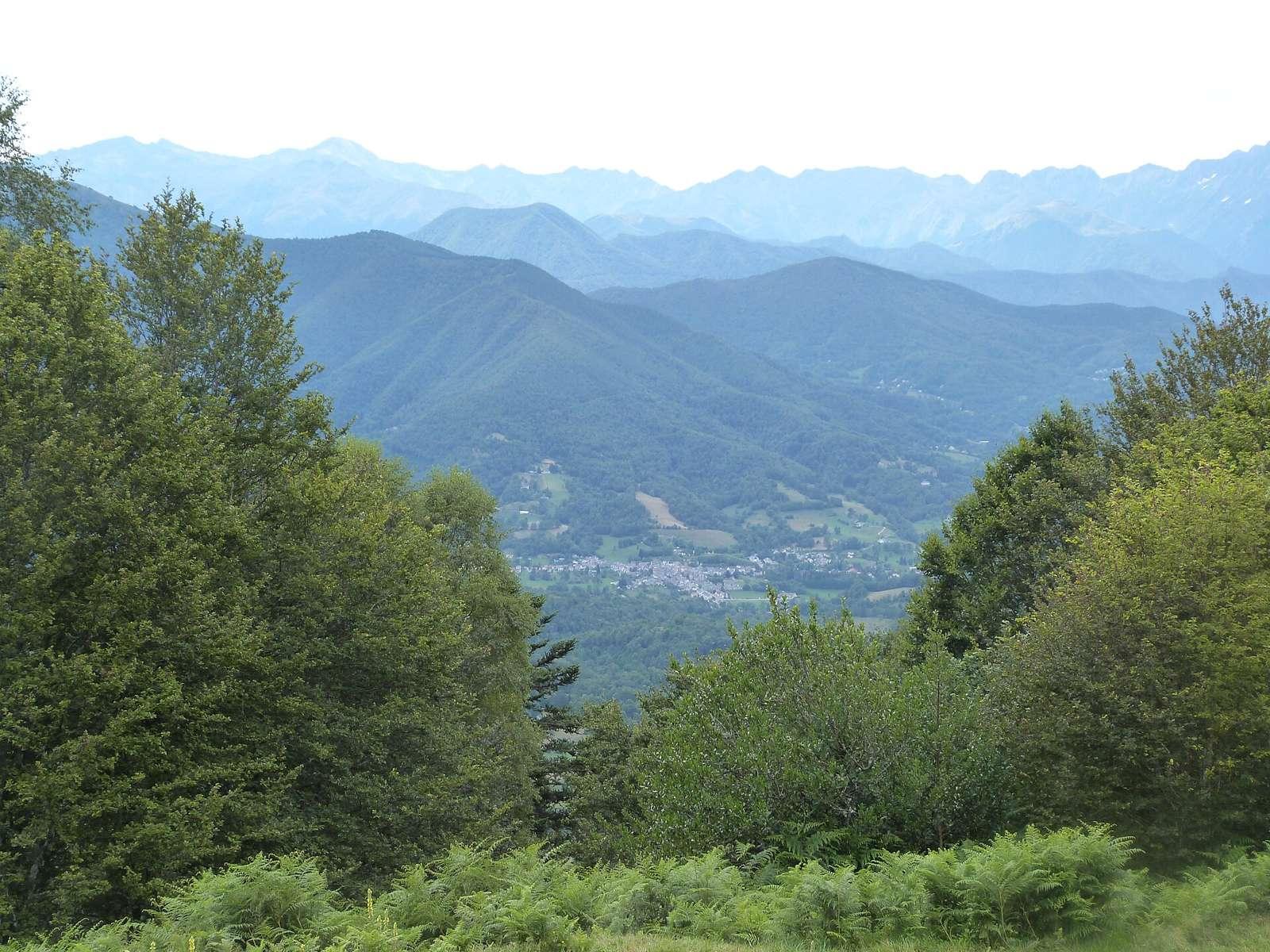
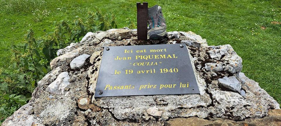
2 photographs from the road

Photo: Tubamirum · CC BY-SA 4.0 · Wikimedia Commons · Photo: Daieuxetdailleurs · CC BY-SA 4.0 · Wikimedia Commons

More rides from Massat