
Cycling in Cluses
Cycling from Cluses offers a challenging route up Col de Romme, featuring steep gradients and a mix of paved and unpaved surfaces.
- 7 km
- 813 m
- 1,296 m
The ride from Cluses
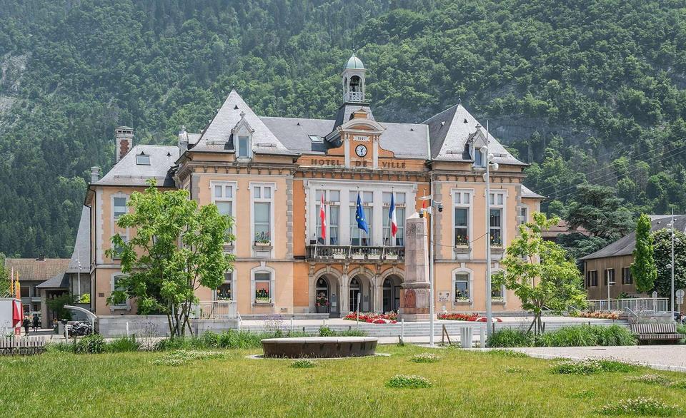
Col de Romme from Cluses
6.7 km point-to-point ride from Cluses to Col de Romme with 813 m climbing in France.
Map, profile and GPXRiding in Cluses in numbers
- Surface
- 61% paved · 39% gravel or unpaved
- Roads
- 31% of the riding on main roads without a cycle lane
- High point
- 1,296 m on Col de Romme from Cluses
- Climbs
- 1 named climb · 1 ascent of 500 m or more
- Bail-outs
- A railway station or ferry within reach on 1 route
When to ride in Cluses
Best months: May to Oct.
7°-2°J15
9°0°F12
12°2°M14
15°4°A13
19°9°M18
24°14°J17
26°16°J14
26°16°A13
21°12°S13
18°8°O12
11°3°N14
8°0°D14
BestFineHard goingRain days per month under each bar · typical wind 8 km/h from the E
Nearby destinations
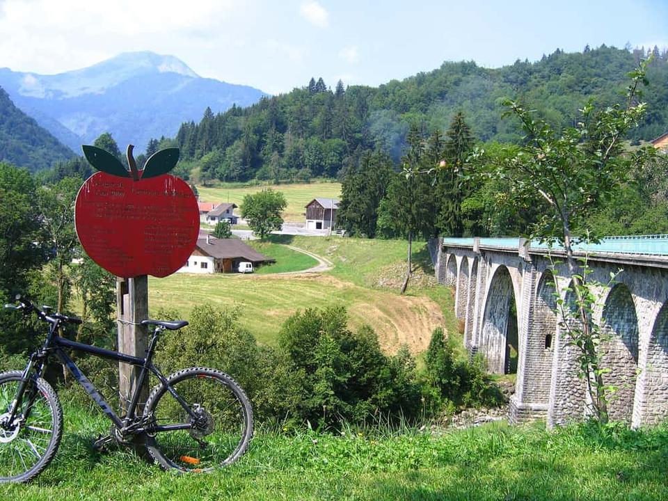 Photo: jambon, Christ Martin · Public domain · Wikimedia Commons
Mieussy
 Photo: Rémih · CC BY-SA 4.0 · Wikimedia Commons
Brizon
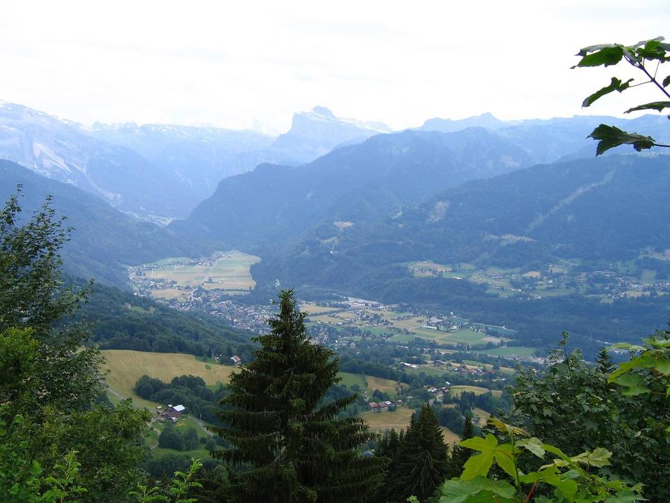 Photo: Christophe Martin · Public domain · Wikimedia Commons
Samoëns
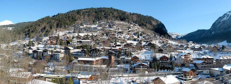 Photo: The original uploader was Snip at French Wikipedia. · CC BY-SA 1.0 · Wikimedia Commons
Morzine
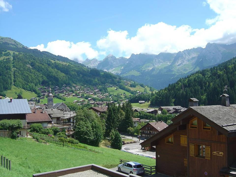 Photo: Anthospace · CC BY-SA 3.0 · Wikimedia Commons
Le Grand-Bornand
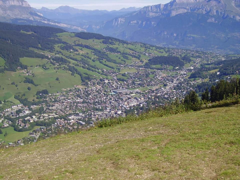 Photo: Tabl-trai · CC BY-SA 3.0 · Wikimedia Commons
Megève
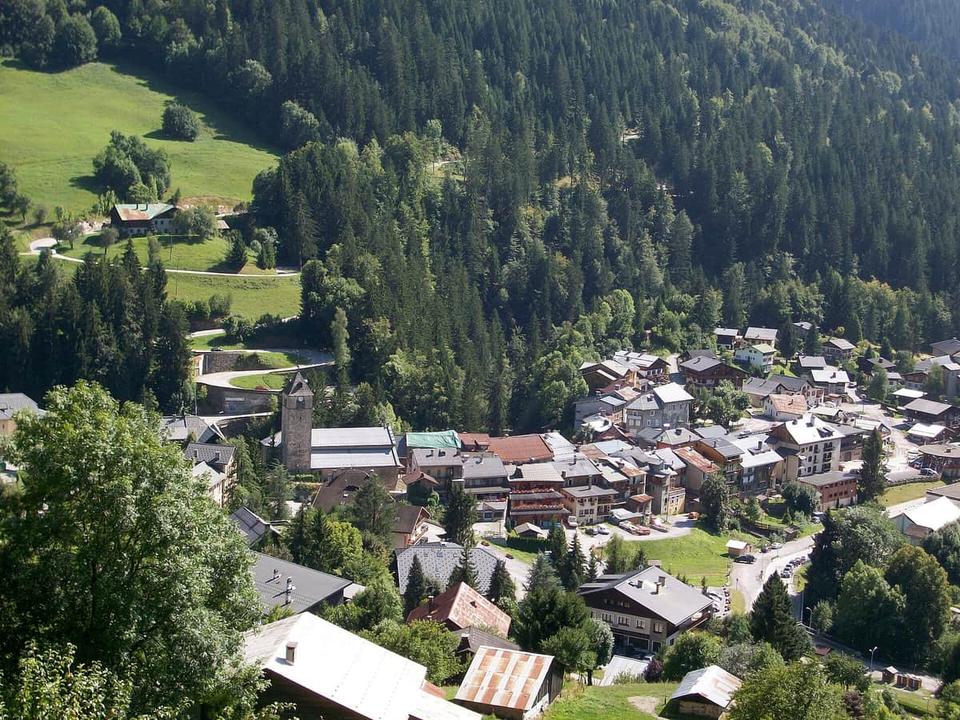 Photo: Yakouful · Public domain · Wikimedia Commons
Flumet
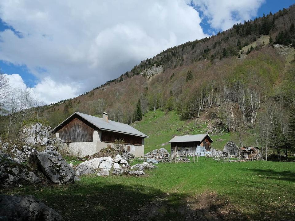 Photo: Guilhem Vellut from Annecy, France · CC BY 2.0 · Wikimedia Commons
Thônes
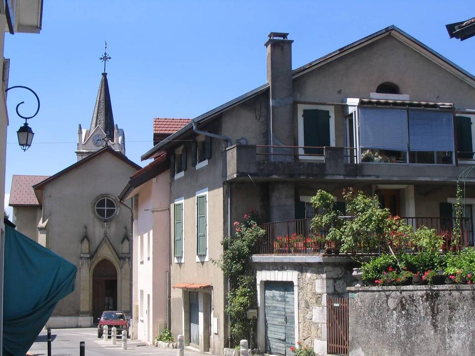 Photo: Patrice78500 · Public domain · Wikimedia Commons
Collonges-sous-Salève
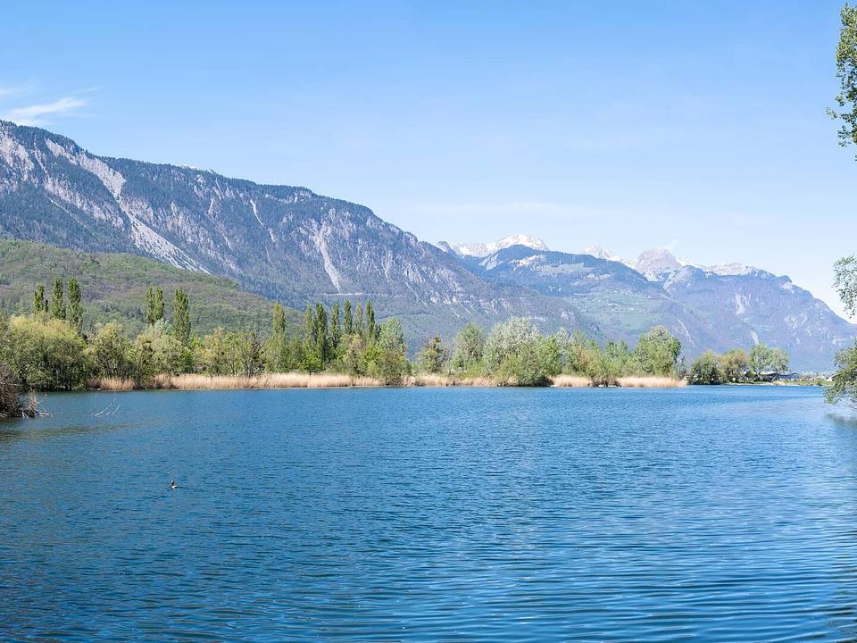 Photo: Christian David · CC BY-SA 4.0 · Wikimedia Commons
Monthey