
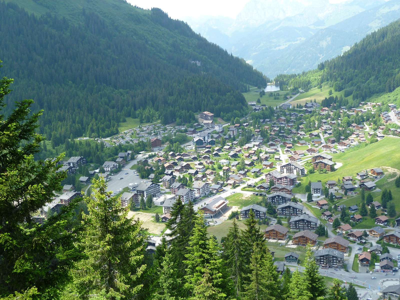
Road · From the map · Switzerland
Rides from Monthey include a demanding ascent to Pas de Morgins with nearly 1,000 m climbing over 14.5 km.
Best months: May to Oct.
Monthey serves as a starting point for challenging rides, notably the 14.5 km route to Pas de Morgins in Switzerland. This route features a significant climb starting after 0.6 km, leading nearly 1,000 m upwards to 1,381 m elevation. The climb averages 6.9%, with steep sections reaching 17% gradient over 13.9 km. Cyclists can expect mostly paved surfaces, with about 90% tarmac and some unpaved or gravel sections making up around 5%. The route includes 9.2 km on main roads without cycle lanes and no cycle paths. Service points are spaced such that the longest stretch without any services is 6.1 km. There is a railway station located 9 km along the route, supporting access and exit options for riders interested in this challenging climb.
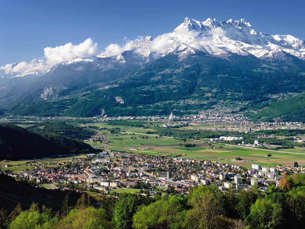 Photo: Zacharie Grossen · CC BY-SA 4.0 · Wikimedia Commons
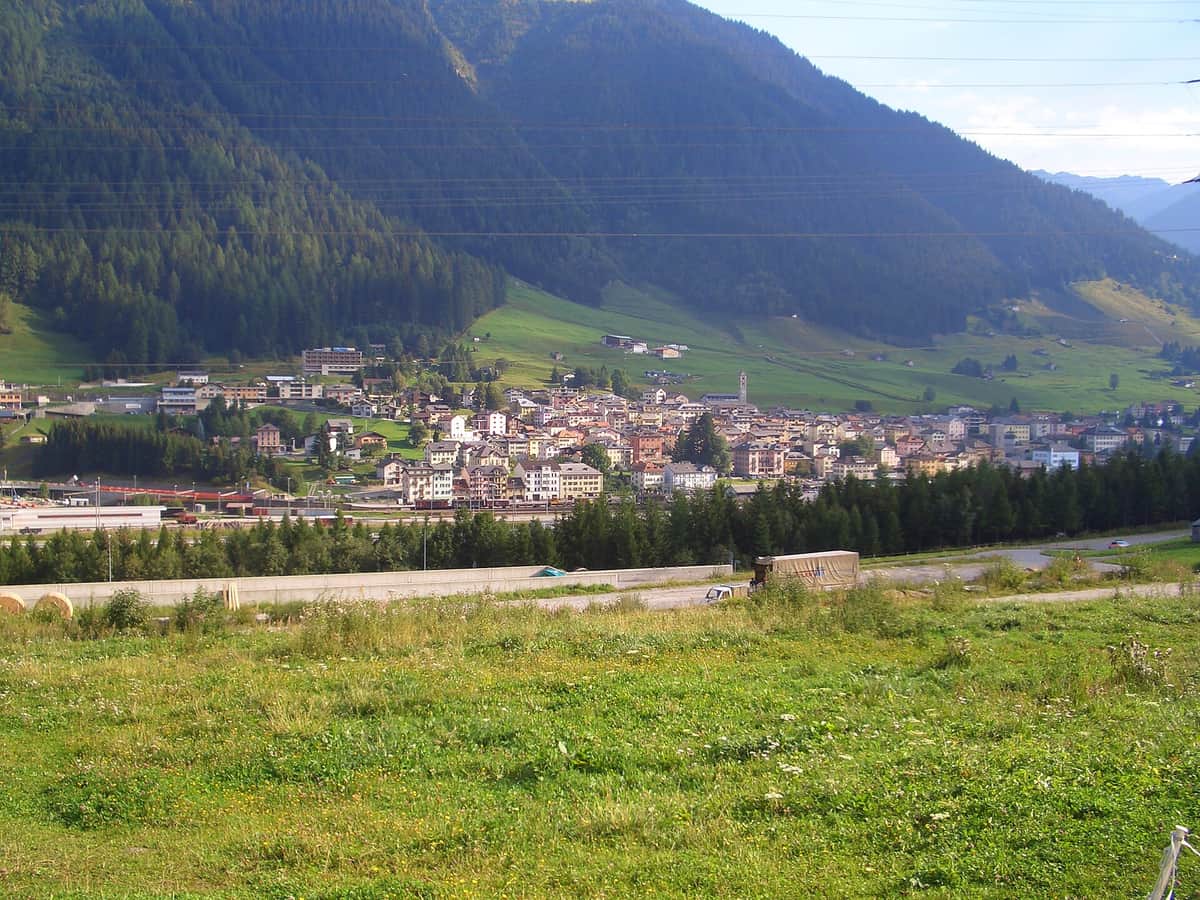 Photo: Prissantenbär · CC BY-SA 3.0 · Wikimedia Commons
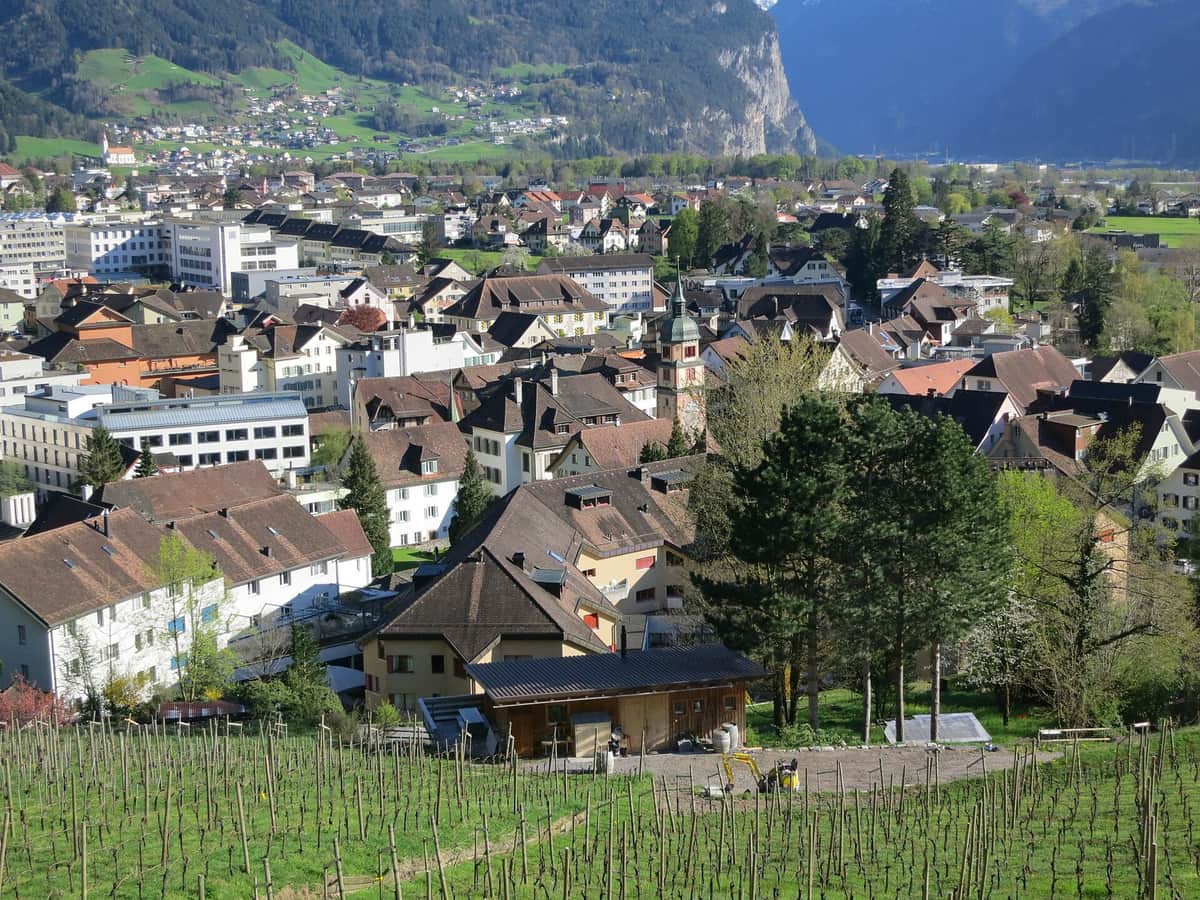 Photo: Paebi · CC BY-SA 3.0 · Wikimedia Commons
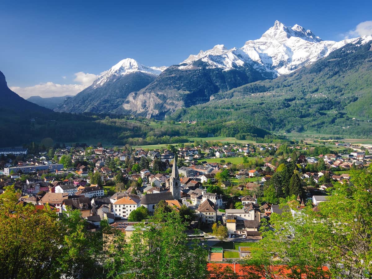 Photo: Zacharie Grossen · CC BY-SA 4.0 · Wikimedia Commons
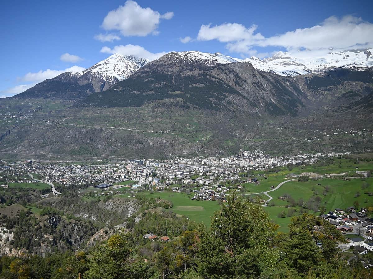 Photo: Lu-xin · CC0 · Wikimedia Commons
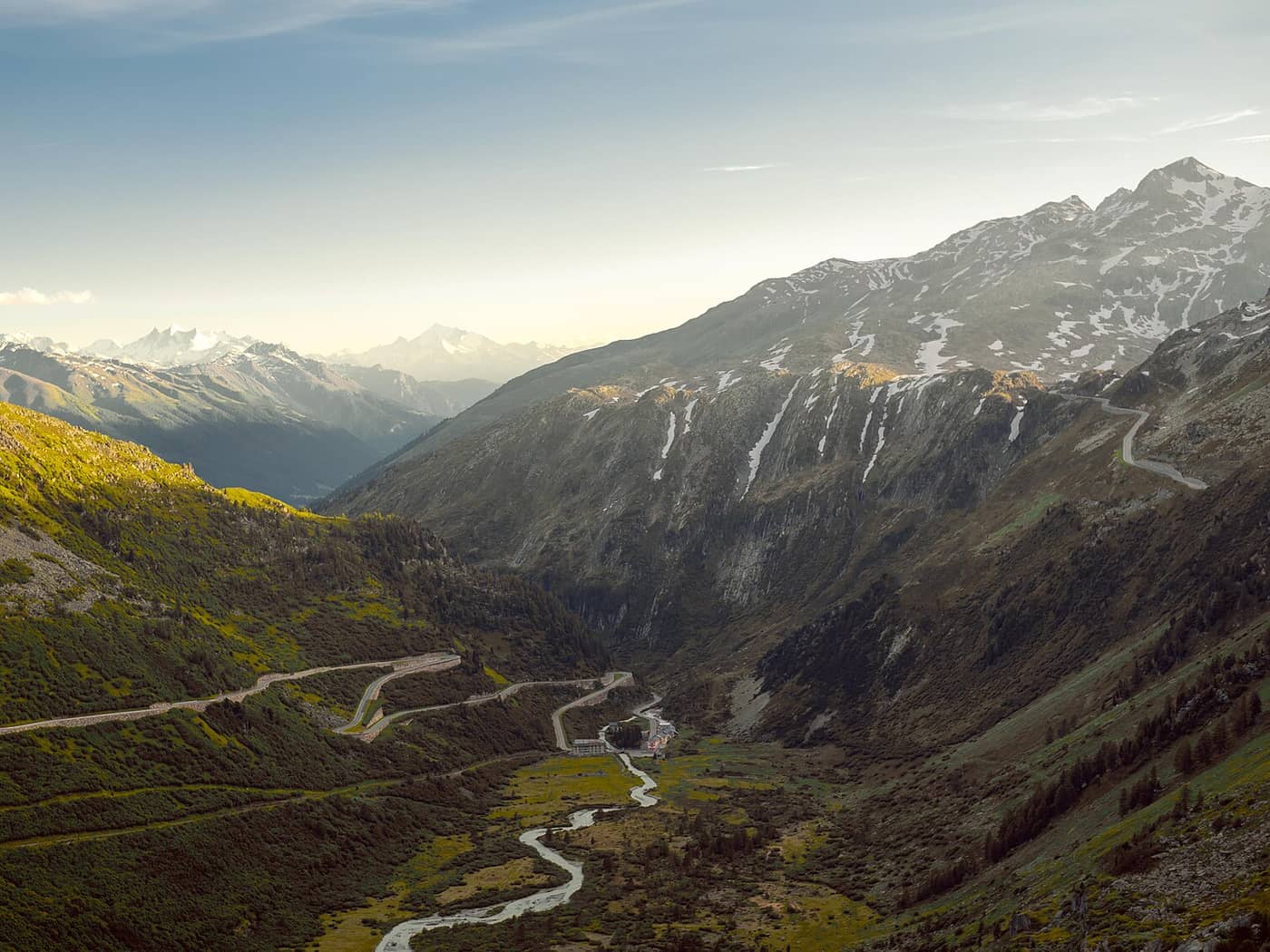 Photo: Anna Belial · CC BY-SA 4.0 · Wikimedia Commons
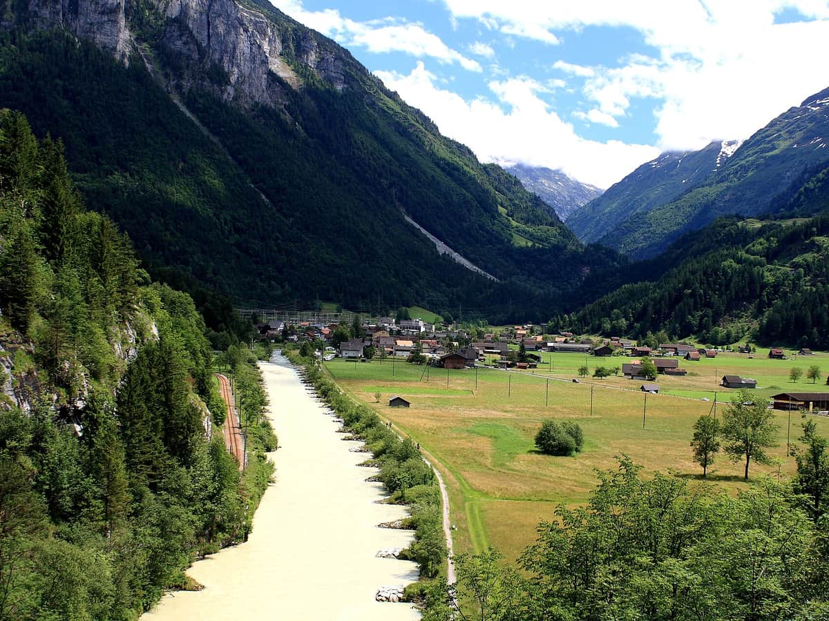 Photo: Falk Lademann · CC BY 2.0 · Wikimedia Commons
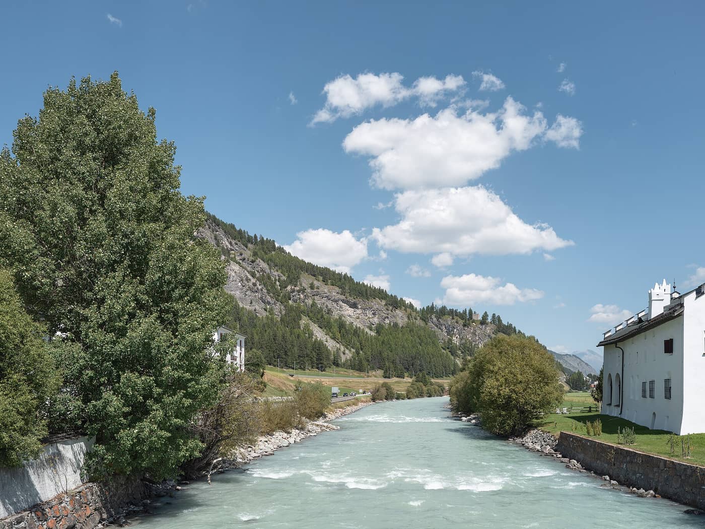 Photo: Giorgio Galeotti · CC BY-SA 4.0 · Wikimedia Commons
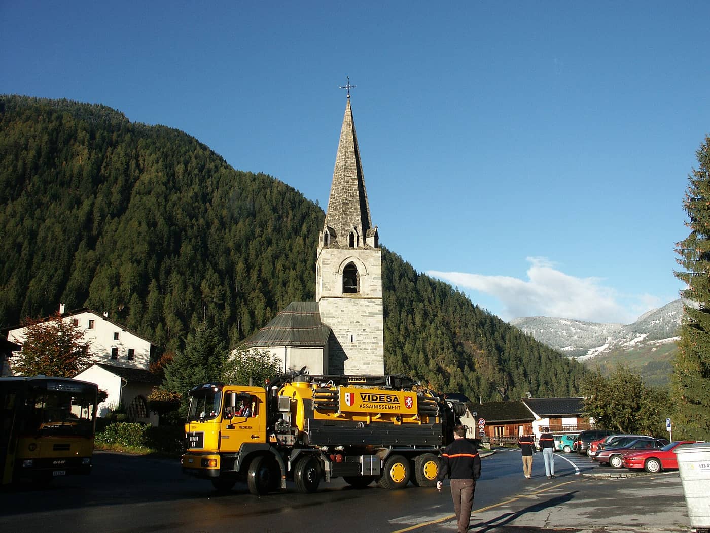 Photo: Olivier Bruchez from Lausanne, Switzerland · CC BY-SA 2.0 · Wikimedia Commons
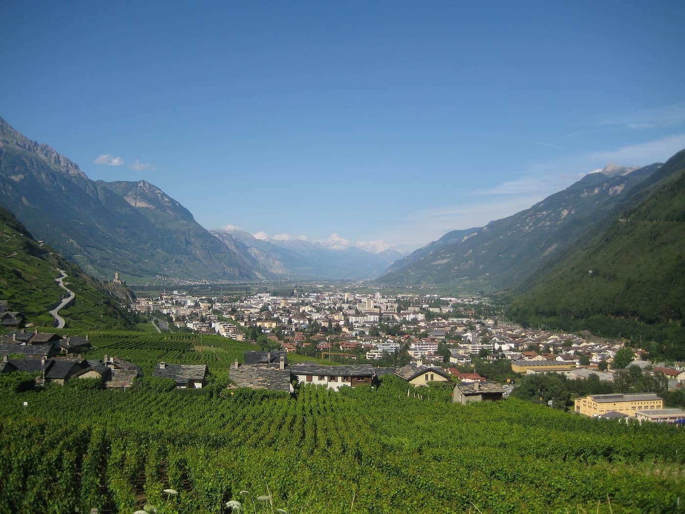 Photo: Sylenius · CC BY-SA 3.0 · Wikimedia Commons