
Cycling in Beausoleil
Cycling from Beausoleil offers a steep paved climb to La Turbie, gaining 378m over 5.4km.
- 5 km
- 378 m
- 480 m
The ride from Beausoleil
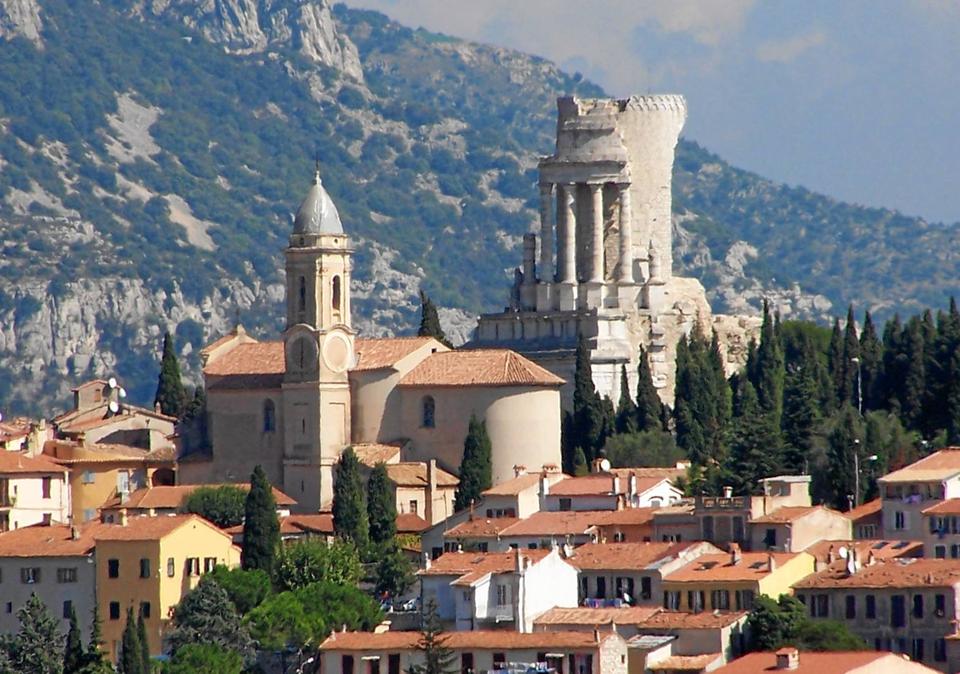
La Turbie from Beausoleil
A 5.4 km climbing route from Beausoleil to La Turbie with 378 m elevation gain, mostly on quiet streets and main roads.
Map, profile and GPXRiding in Beausoleil in numbers
- Surface
- Paved almost throughout
- Roads
- 39% of the riding on main roads without a cycle lane
- High point
- 480 m on La Turbie from Beausoleil
- Climbs
- 1 named climb
- Bail-outs
- A railway station or ferry within reach on 1 route
When to ride in Beausoleil
Best months: Apr to Oct.
12°5°J6
13°6°F7
15°7°M6
17°10°A8
21°14°M9
25°18°J8
28°21°J3
28°21°A5
25°18°S7
21°14°O9
16°9°N9
13°6°D7
BestFineHard goingRain days per month under each bar · typical wind 13 km/h from the E
Nearby destinations
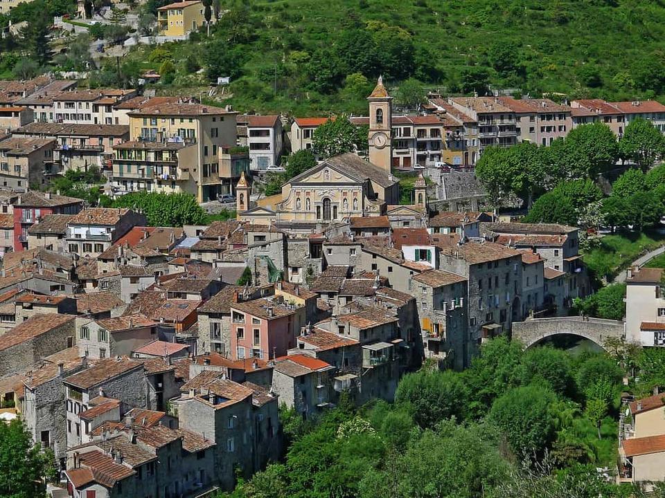 Photo: Jpchevreau · CC BY-SA 3.0 · Wikimedia Commons
L'Escarène
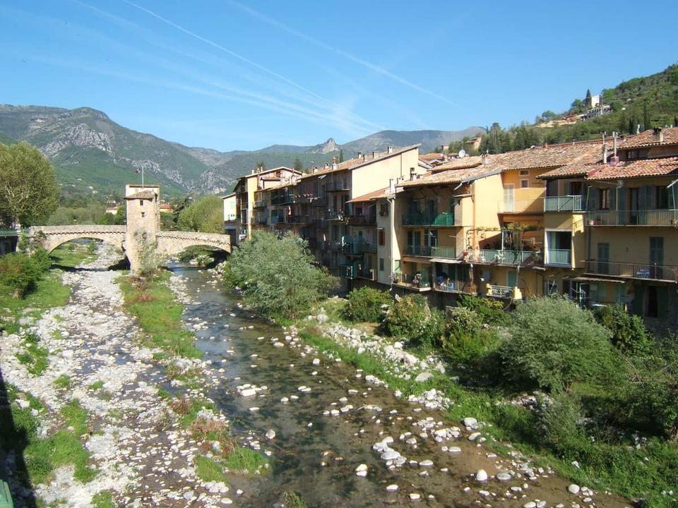 Photo: Rundvald · Public domain · Wikimedia Commons
Sospel
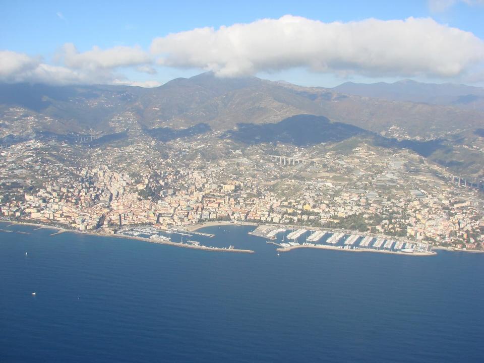 Photo: Alistair Cunningham · CC BY 3.0 · Wikimedia Commons
Sanremo
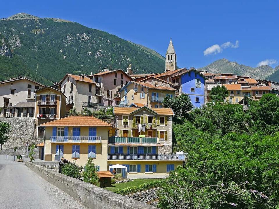 Photo: Jpchevreau · CC BY-SA 3.0 · Wikimedia Commons
Saint-Martin-Vésubie
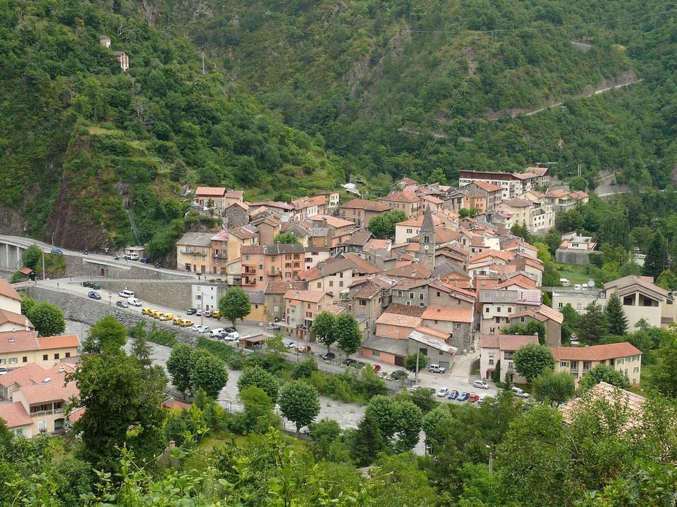 Photo: MOSSOT · CC BY 3.0 · Wikimedia Commons
Saint-Sauveur-sur-Tinée
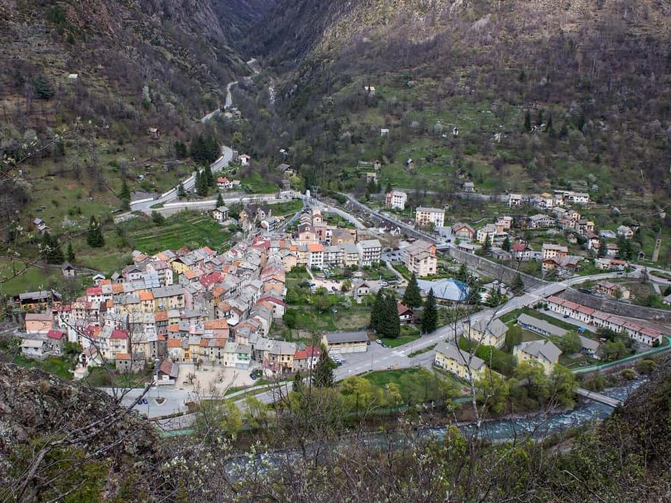 Photo: Spitfire06 · CC BY-SA 4.0 · Wikimedia Commons
Isola
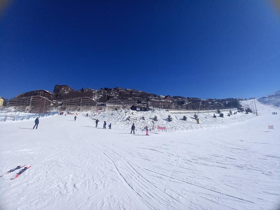 Photo: Bubici · CC BY-SA 4.0 · Wikimedia Commons
Frabosa Sottana
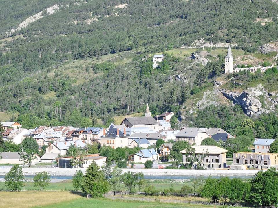 Photo: Alpes de Haute Provence · CC BY 2.0 · Wikimedia Commons
Jausiers
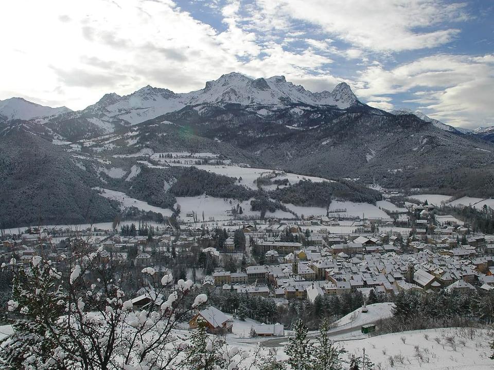 Photo: Caturegli Christophe · CC BY-SA 3.0 · Wikimedia Commons
Barcelonnette
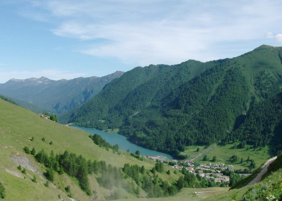 Photo: Luca Bergamasco · CC BY 3.0 · Wikimedia Commons
Pontechianale