
Petit Ballon from Wasserbourg
- 9 km
- 719 m
- Easy
- Paved
Elevation profile
- 719 m
- 9 km
Route overview
This ride suits cyclists ready for a short but steep climb with consistent gradients.
An 8.5 km climb to Petit Ballon from Wasserbourg in France with 719 m elevation gain.
The route starts at Wasserbourg (541 m) and ascends 8.5 km to Petit Ballon (1260 m). The climb gains 718 m at an average gradient of 8.4%, with sections up to 15.4%. The profile is predominantly uphill, with 95% climbing over the route, including 7.6 km above 5% gradient. The gradient is challenging, with 5.4 km above 8% and 2.3 km above 10%. The surface is mostly paved (89%) along minor roads (89%), with about 0.7 km on paths. There is a 3.4 km stretch at the start without cafés, shops, or water points. Water sources include drinking water at the start (km 0, off route 38 m), a spring at 3.4 km (off route 193 m), and a fountain at 6.6 km (off route 55 m). Ferme Auberge du Ried restaurant is slightly off route at 4.5 km. At the finish near Petit Ballon are two restaurants: Ferme-Auberge Rothenbrunnen and Ferme Auberge Kahlenwasen. Points of interest include the viewpoint Belvédère Emile Hertzog at 5.5 km (off route 277 m) and the peak Petit Ballon itself at 8.5 km (off route 1 m). Toilets are available near 3.4 km (off route 184 m). No bike shops, petrol stations, or bail out points are recorded.
Highlights
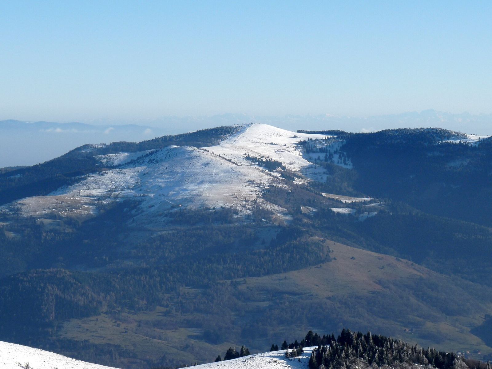
- Petit Ballon peak at 1260 m
- Belvédère Emile Hertzog viewpoint at 5.5 km
- Steep climb averaging 8.4% over 8.5 km
- Ferme Auberge du Ried restaurant near 4.5 km
Along the route
On the road
Climbs
| Climb | Starts at | Length | Gain | Average | Max | Top |
|---|---|---|---|---|---|---|
| Petit Ballon | 0 km | 8.5 km | 718 m | 8.4 % | 15.4 % | 1260 m |
Petit Ballon · starts at 0 km
Practical information
- Paved
- Point to point
- 36 min
Know before you go
- 3.4 km without café, shop or water from start
- 0.7 km on path surface
- Steep gradients up to 15.4%
- No bike shops or bail out points