
Col de Latrape from Ustou
- 11 km
- 423 m
- Easy
- Paved
Elevation profile
- 423 m
- 11 km
Route overview
This route suits cyclists prepared for a short but sustained climb with mixed surfaces and some steep gradients.
A 10.5 km climb from Ustou to Col de Latrape, France, with 423 m elevation gain.
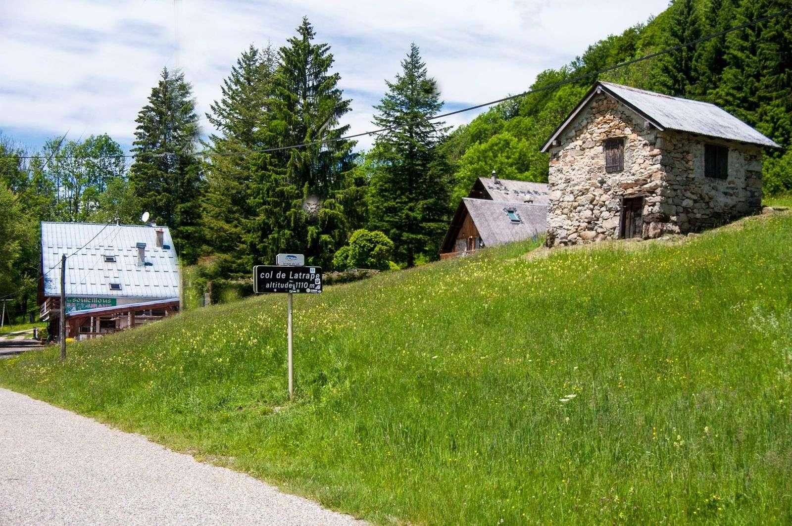
This route starts at Ustou with an initial 5.1 km gentle section descending or flat, beginning at 1114 m and dropping to 691 m. The main climb begins at 5.1 km and continues for 5.2 km with an average gradient of 8.1%, reaching a maximum of 15.7% to a summit of 1114 m at 10.3 km. The surface is mixed; 63% is paved and 37% is gravel or unpaved. The route includes 5.3 km on main roads, specifically the D 8F, which lacks cycle lanes. Minor roads and paths make up the remainder. The profile involves about 50% climbing and 48% descending, with the longest descent 4.8 km long starting almost at the outset. There is a restaurant called Les Souleillons near the finish at 10.4 km and a shop and spring within the first 3.6 km from Ustou. There is a continuous 3.3 km stretch without café, shop, or water from 7.1 km to 10.4 km. Points of interest near the route include Pic de Cabanedrête at 0.4 km and Château de la Coste at 4.1 km, both slightly off route.
Highlights
- Climb starts at 5.1 km with 8.1% average gradient
- Summit at 1114 m at 10.3 km
- Mixed surface: 63% paved, 37% gravel or unpaved
- D 8F main road with 5.3 km ridden without cycle lane
Practical information
- Paved
- Point to point
- 45 min
- Jun to Sep — daily highs of 17–20 °C in those months
Know before you go
- 5.3 km on main roads without a cycle lane
- 37% of route on gravel or unpaved surface
- 3.3 km stretch without café, shop or water from 7.1 km
- Steep sections up to 15.7% gradient