
Col de Port from Tarascon-sur-Ariège
- 18 km
- 802 m
- Moderate
- Paved
Elevation profile
- 802 m
- 18 km
Route overview
Riders suited to a medium distance climb with moderate to steep gradients and some road traffic.
Climb 18.4 km from Tarascon-sur-Ariège to Col de Port in France, gaining 802 m on mostly paved roads.
The route starts in Tarascon-sur-Ariège at about 473 m elevation, quickly ascending with three main climbs. The first climb begins at 2.6 km lasting 3.5 km, gaining 161 m at an average gradient of 4.6%. The second climb follows from 6.9 km over 1.3 km, with a 42 m gain at 3.2%. The final and longest climb starts at 8.7 km, lasting 9.7 km and gaining 566 m at an average 5.9%, reaching the highest point at 1248 m at the 18.4 km finish. The road surface is almost entirely paved (99%), mostly on main roads (84%), notably the D 618 for 13.7 km. There are 15.5 km on main roads without a cycle lane and 9.4 km on roads with speed limits of 80 km/h or more. The profile includes 7.8 km of climbing over 5% and 0.6 km over 8%. The longest stretch without a café, shop, or water is 9.4 km between 8.9 km and 18.3 km. At the start, there are several facilities in Tarascon-sur-Ariège including a supermarket (Bio Maïel), bakery (Boulangerie Patisserie du Quai), restaurants, toilets, drinking water, a petrol station (Super U), and a bail out point at the station. Along the route, drinking water is available at 0.3 km, 3.6 km, 8.5 km, and 18.4 km. At the finish near 18.3 km is a restaurant, Auberge de la Sapinière, close to the end of the climb.
Highlights
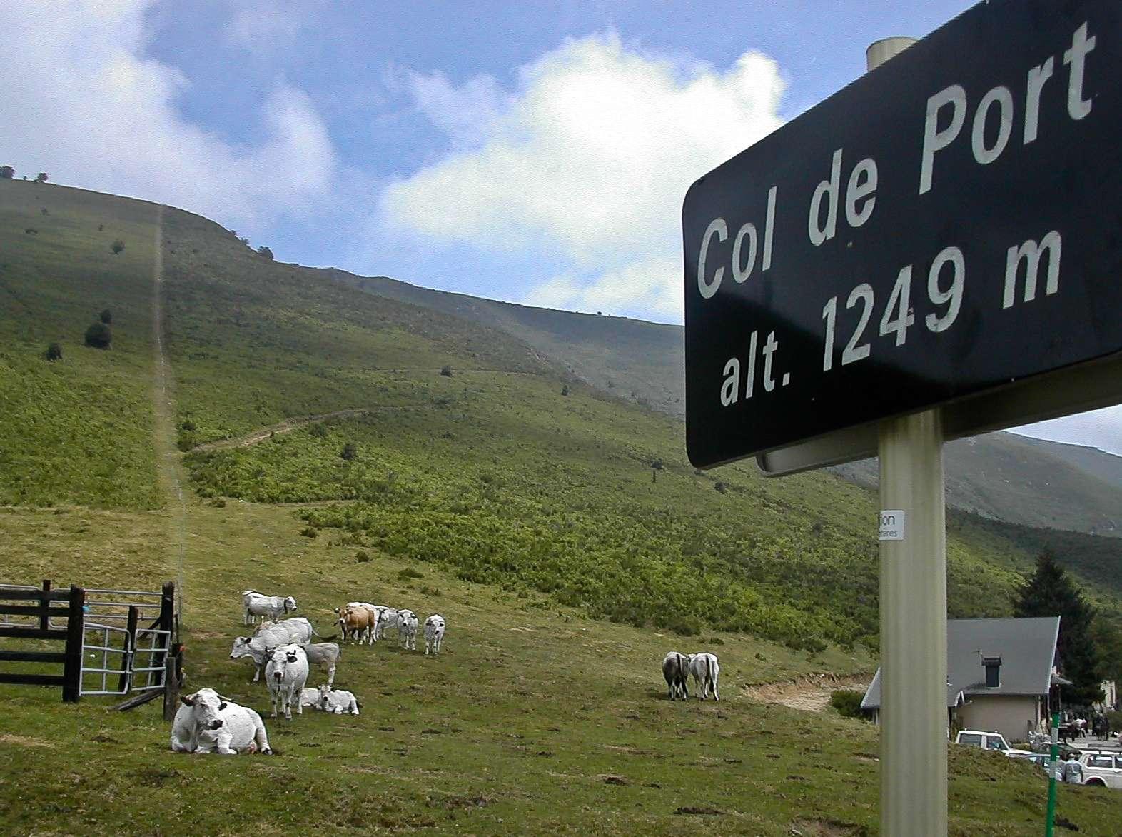
- Col de Port summit at 1248 m
- Three main climbs with max 8.2% gradient
- Longest stretch of 9.4 km without water or café
- Route follows D 618 for 13.7 km
Along the route
Places passed
On the road
Climbs
| Climb | Starts at | Length | Gain | Average | Max | Top |
|---|---|---|---|---|---|---|
| Cagnac climb | 2.6 km | 3.5 km | 161 m | 4.6 % | 7.5 % | 659 m |
| — | 6.9 km | 1.3 km | 42 m | 3.2 % | 5.5 % | 675 m |
| Roc Blanc | 8.7 km | 9.7 km | 566 m | 5.9 % | 8.2 % | 1248 m |
Cagnac climb · starts at 2.6 km
Roc Blanc · starts at 8.7 km
Practical information
- Paved
- Point to point
- 1 h 19 min
- May to Oct — daily highs of 19–26 °C in those months
Know before you go
- 9.4 km stretch without café, shop or water from km 8.9 to 18.3
- 15.5 km on main roads without cycle lane
- 9.4 km on roads with 80 km/h speed limit or higher