
Road · United Arab Emirates
Suited to riders comfortable with 78.5 km and modest climbing at 455 m, with no sustained steep sections.
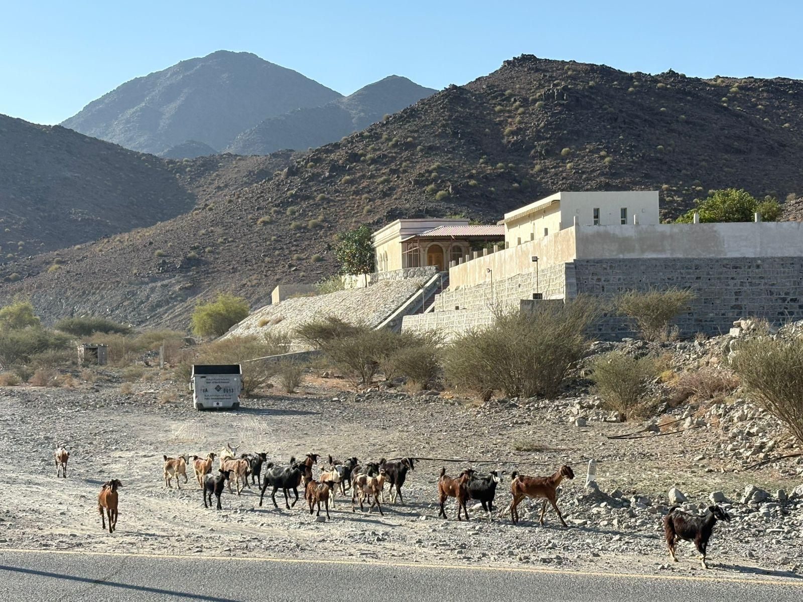
A 78.5 km loop from Showka through the villages of the Hajar Mountains, with 455 m of climbing and a high point of 483 m.
The loop starts at Showka, passing Shawka village at 1.8 km and the hamlet of Shariyah shortly after, with drinking water listed at 1.9 km. From there the road drops gradually to the lowest point of the route, 196 m at 13.1 km, before the long middle section begins its slow gain inland. Rima comes at 27.6 km and Mamduh at 29.1 km. The only measured climb starts at 40.6 km, just after Esfai: 1.3 km at 3.4% average, 6.2% at its steepest, topping out at 480 m beneath Jabal Gharib (578 m). The route's high point of 483 m follows at 42.1 km, and 59% of the day's climbing is done by halfway. The return leg runs through Esfini at 52.4 km and past Jabal Ash Shibkah (265 m) at 59.3 km, then Kadrah at 64.5 km, before the final run back to Showka. With 455 m of gain spread over 78.5 km, the profile is undulating rather than mountainous, and the second half is the easier of the two.
| Starts at | Length | Gain | Average | Max | Top |
|---|---|---|---|---|---|
| 40.6 km | 1.3 km | 43 m | 3.4 % | 6.2 % | 480 m |
Road · United Arab Emirates
Road · United Arab Emirates
Road · United Arab Emirates
Road · United Arab Emirates
Road · United Arab Emirates
Road · United Arab Emirates
Road · United Arab Emirates
Road · United Arab Emirates