
Col du Tourmalet from Sainte-Marie-de-Campan
- 17 km
- 1,256 m
- Moderate
- Paved
Elevation profile
- 1,256 m
- 17 km
Route overview
This steep and sustained 17.4 km climb suits riders experienced with long, challenging mountain ascents.
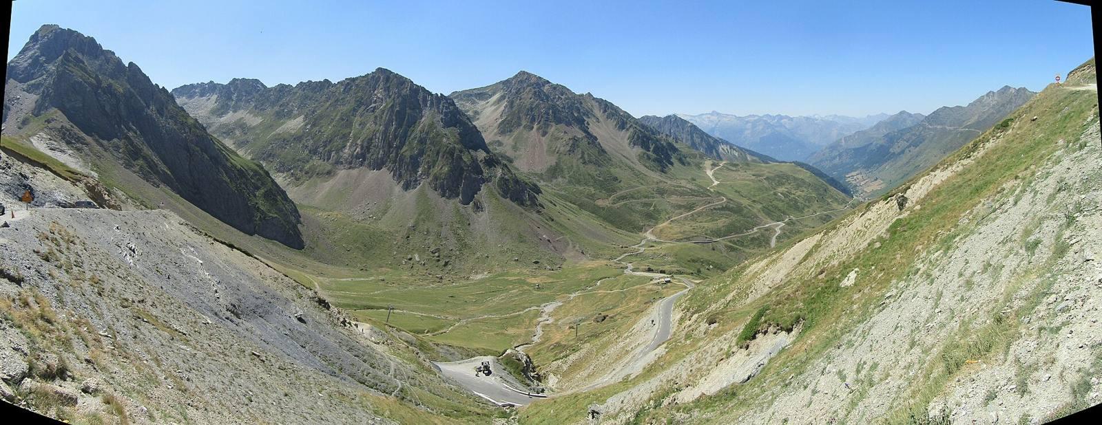
A 17.4 km climb to Col du Tourmalet from Sainte-Marie-de-Campan in France with 1256 m elevation gain.
The ride starts in Sainte-Marie-de-Campan at 854 m and climbs continuously for 17.3 km to reach the Col du Tourmalet at 2110 m. The average gradient is 7.2%, with sections up to 14% steepness. The climb is mostly ascending (97%) with only 2% flat and 1% descending. The entire route is paved, running 81% on main roads, mainly the D 918 for 14.1 km without cycle lanes, and smaller parts on minor roads and quiet streets. Key places passed during the climb include Gripp at 4.6 km and La Mongie at 13.3 km. Some short flat sections occur but the profile is dominated by sustained gradients, including over 12 km above 5% and 10.4 km above 8%. The highest point is reached near km 17.3. Facilities are available at the start with a convenience store, bar, market, and restaurant in Sainte-Marie-de-Campan. Along the route there is a longest stretch without cafe, shop or water of 6.9 km between km 6.2 and 13.1. At La Mongie (km 13.3) and final summit there are shops, cafes and restaurants for refuelling.
Highlights
- Col du Tourmalet summit at 2110 m
- Passes La Mongie at 13.3 km
- Views near peak Pic d'Espade (2467 m)
- Route passes beneath Serpolet (2113 m) at 12.3 km
Along the route
Places passed
On the road
Climbs
| Climb | Starts at | Length | Gain | Average | Max | Top |
|---|---|---|---|---|---|---|
| Pic d'Espade | 0 km | 17.3 km | 1256 m | 7.2 % | 14 % | 2110 m |
Pic d'Espade · starts at 0 km
Practical information
- Paved
- Point to point
- 1 h 15 min
- Jun to Oct — daily highs of 17–23 °C in those months
Know before you go
- 14.1 km on main roads without cycle lanes
- Longest 6.9 km stretch without café, shop or water from 6.2 to 13.1 km
- Sustained gradients with 10.4 km over 8% gradient
- Max gradient reaches 14%