
Col de la Couillole from Saint-Sauveur-sur-Tinée
- 17 km
- 1,173 m
- Moderate
- Paved
Elevation profile
- 1,173 m
- 17 km
Route overview
This ride suits cyclists prepared for a sustained 16.6 km climb with over 1100 m elevation gain.
A 16.6 km paved climb in France from Saint-Sauveur-sur-Tinée to Col de la Couillole with 1173 m elevation gain.
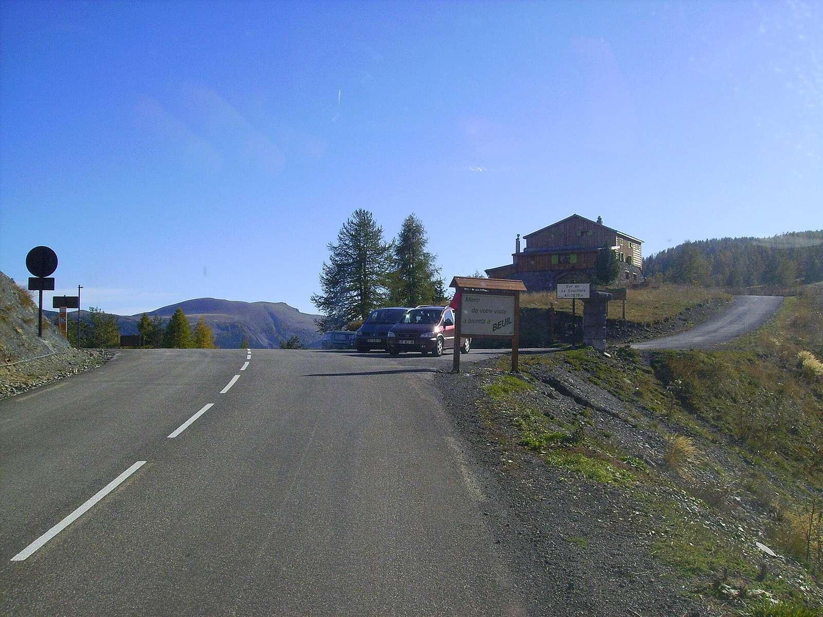
The route starts at 501 m in Saint-Sauveur-sur-Tinée and climbs steadily for 16.5 km to Col de la Couillole at 1674 m. The average gradient is 7.1%, with sections reaching a maximum of 10.7%. The ascent is mostly uphill with 98% climbing, and only 1% flat or downhill. The entire 16.4 km are on main roads, predominantly the M 30, without any cycle lanes. The surface is fully paved. After Saint-Sauveur-sur-Tinée, there is a 6.3 km stretch without any café, shop, or water between km 4.3 and 10.6. Several places to eat and drink are close to the route, including restaurants at 4.3 km (Auberge Lo Robur), 10.7 km (Le Païsot), and a restaurant and convenience store at the start. Drinking water is available at km 0, 10.7, and 15.1. Toilets are found near the start and at 11.5 km. The peak of l'Arghias lies 200 m off the road near km 16.1. The final stop after the climb is the Auberge Quintessence restaurant, just off route at 16.4 km.
Highlights
- Col de la Couillole summit at 1674 m
- Steep sections up to 10.7% gradient
- Restaurants at 4.3, 10.7, and 16.4 km
- Peak l'Arghias close to route at 16.1 km
Along the route
Places passed
On the road
Climbs
| Climb | Starts at | Length | Gain | Average | Max | Top |
|---|---|---|---|---|---|---|
| La Frachetta | 0 km | 16.5 km | 1173 m | 7.1 % | 10.7 % | 1674 m |
La Frachetta · starts at 0 km
Practical information
- Paved
- Point to point
- 1 h 11 min
- Aug to Oct — daily highs of 20–29 °C in those months
Know before you go
- 6.3 km without café, shop, or water from km 4.3 to 10.6
- 16.4 km on main roads without cycle lanes