
Cyclists.com

La Toussuire from Saint-Jean-de-Maurienne

Saint-Jean-de-Maurienne, FranceRoad

Routed from the map This classic road was traced on OpenStreetMap and measured against the terrain model; no member has recorded it yet. Ridden it? Add your recording and photos.

16 km
Distance
1,121 m
Elevation gain
Moderate
Difficulty
Paved
Surface
Download GPXMap

Elevation profile

Total ascent
1,121 m
Distance
16 km
05001,0001,5002,000m0 km51016 km1,687 m · highest, at 16.3 kmStartFinish

Route overview

This ride suits cyclists looking for a challenging 16 km climb with over 1100 m ascent.

Climb 16.4 km from Saint-Jean-de-Maurienne to La Toussuire in France with 1121 m gain.

Starting in Saint-Jean-de-Maurienne at 566 m, the route climbs steadily 16.4 km to La Toussuire at 1686 m, gaining 1119 m at an average gradient of 7% and a max of 12.7%. The road surface is 96% paved with 4% on gravel or unpaved sections. The route is predominantly minor roads (55%) with 23% on main roads, including 3.8 km without cycle lanes, and also 18% on quiet streets plus 4% on paths. Settlements en route include La Combe at 2.5 km, Les Bottieres at 9.3 km, and Fontcouverte-la-Toussuire at 11.8 km, among others. Facilities near the start include cafés, bakeries, several supermarkets and bike shops in Saint-Jean-de-Maurienne. The longest stretch without cafés, shops or water is 8.2 km from 0.9 km to 9.1 km. Water points and toilets are available at 0.3 km and 10.5 km, plus various facilities at the finish in La Toussuire. After leaving Saint-Jean-de-Maurienne, the climb quickly settles into a sustained gradient climbing almost continuously over 13 km with 5.6 km above 8% gradient and 1 km above 10%. The route crosses D 78 and D 78d roads. The peak Les 3 Croix lies near the road at 13.4 km. Toilets and food options are available at the start and finish.

Highlights

  • Peak Les 3 Croix near km 13.4
  • Sustained 16 km climb averaging 7%
  • Longest stretch without café or water 8.2 km
  • Top elevation 1686 m at La Toussuire

Along the route

Measured from the recorded track and OpenStreetMap.

Places passed

  1. La Combe 2.5 km
  2. Le Chosalet 3 km
  3. La Tour 3.4 km
  4. Saint-Pancrace 4.1 km
  5. Les Bottieres 9.3 km
  6. Les Fontaines 10.2 km
  7. La Fontanette 10.2 km
  8. L'Alpettaz 11.4 km
  9. Fontcouverte-la-Toussuire 11.8 km
  10. Les Anselmes 12.1 km
  11. La Rochette 12.8 km

On the road

  • Water 0.1 km
  • Water 0.1 km
  • La Poterne (Restaurant) 0.2 km
  • La Taverne Saint-Antoine (Restaurant) 0.2 km
  • Water 0.2 km
  • Hôtel du Nord (Restaurant) 0.3 km
  • Water 0.3 km
  • Les 5 Sens (Restaurant) 0.3 km
  • La Parenthèse (Restaurant) 0.3 km
  • L'Evidence (Restaurant) 0.4 km
  • Water 0.4 km
  • Dans la Cuisine de Julie (Café) 0.4 km

Climbs

ClimbStarts atLengthGainAverageMaxTop
Saint-Jean-de-Maurienne climb0.2 km16 km1119 m7 %12.7 %1686 m

High point 1686 m at 16.2 km; low point 566 m. Passes beneath Les 3 Croix.

Saint-Jean-de-Maurienne climb · starts at 0.2 km

16 km at 7% · 1119 m
6008001,0001,2001,4001,600m9.0%11%7.1%8.4%7.9%6.4%1.7%7.0%2.1%6.9%8.1%8.8%6.5%0 km12345678910111213141516.0 km1,686 msteepest 10.7%
< 4%4 – 7%7 – 10%> 10%

Practical information

Surface
Paved
Route shape
Point to point
Riding time
1 h 10 min
Best months
May to Oct — daily highs of 18–27 °C in those months

Know before you go

  • 3.8 km on main roads without cycle lane
  • 2.7 km on roads with speed limits 80 km/h or more
  • Gravel or unpaved surface on 4% of route
  • Longest stretch without café, shop or water 8.2 km from km 0.9 to 9.1

Routes are for inspiration. Roads, surfaces and conditions change — check locally and ride within your limits.

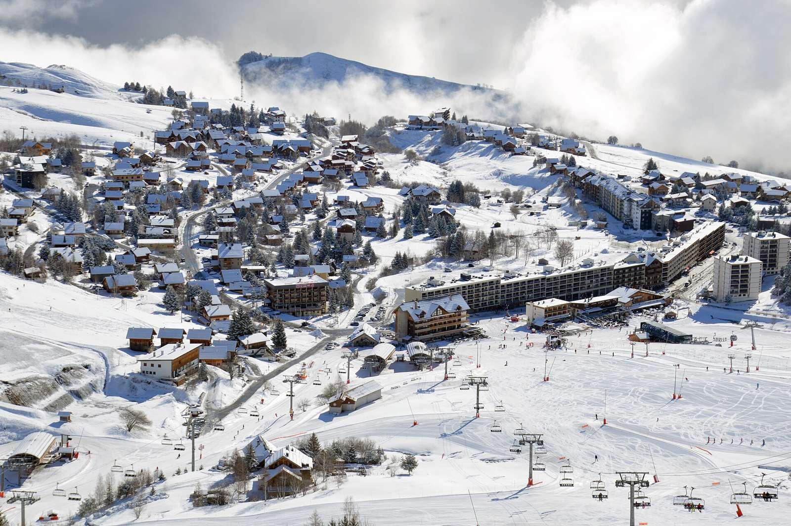
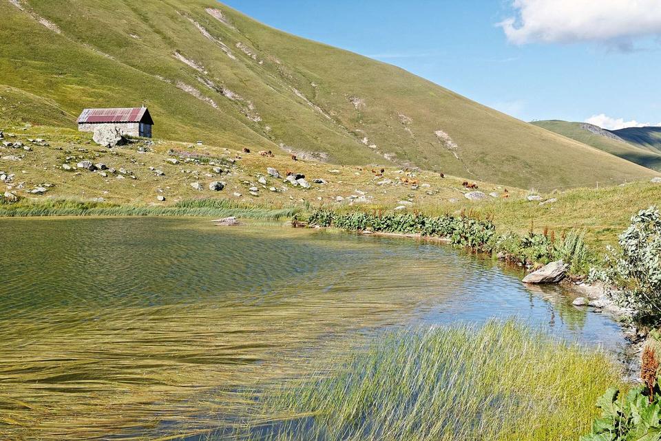
2 photographs from the road

Photo: DimiTalen · CC0 · Wikimedia Commons

More rides from Saint-Jean-de-Maurienne