
Col du Noyer from Saint-Bonnet-en-Champsaur
- 14 km
- 690 m
- Easy
- Paved
Elevation profile
- 690 m
- 14 km
Route overview
Riders looking for a moderate 14 km climb with 690 m elevation gain.
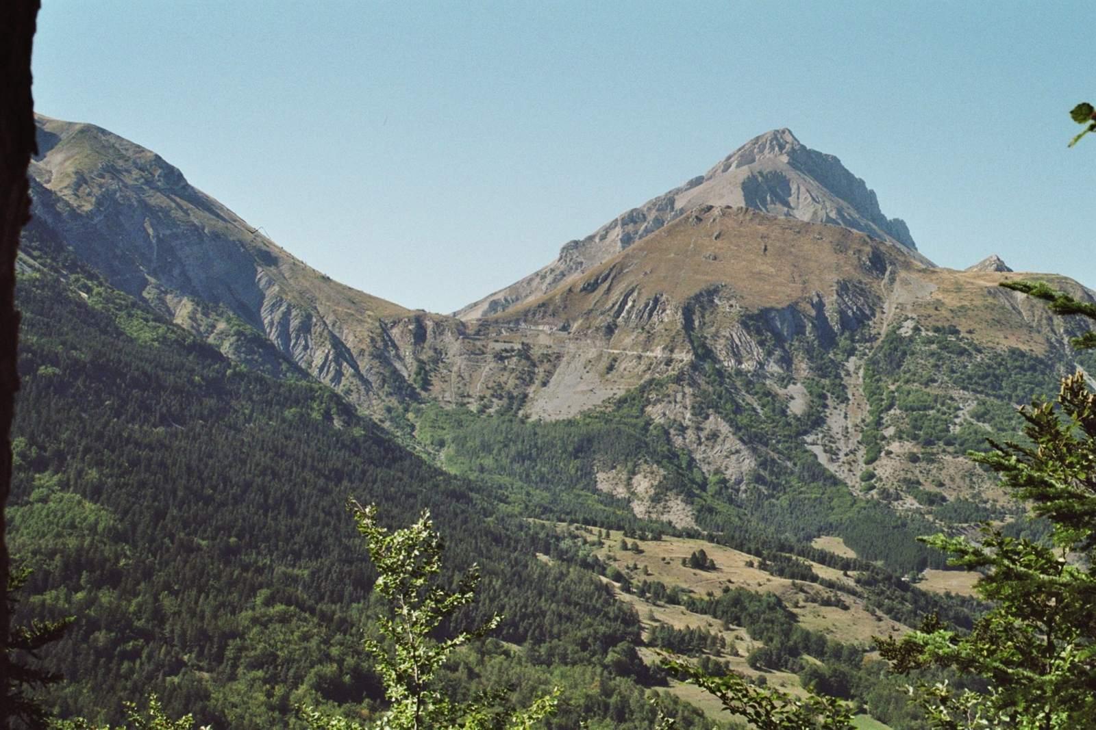
Col du Noyer from Saint-Bonnet-en-Champsaur is a 13.9 km climb in France with 690 m elevation gain.
The ride starts near Saint-Bonnet-en-Champsaur at 969 m altitude and climbs steadily to Col du Noyer at 1659 m over 13.9 km. The initial climb at km 0.9 lasts 1.2 km with an average gradient of 5.1% and max 6.9%, gaining 61 m. After a varying profile, the final climb begins at km 6.7, continuing for 7.2 km with an average gradient of 8.3% and max 12%, gaining 595 m. The route is almost entirely paved, 99%, with 91% on minor roads primarily along the D 17 for 9.6 km, and just 0.8 km on a main road with a posted 80 km/h limit. There are drinking water points at the start, 4 km and 7.5 km, and amenities such as shops and bike shops near Saint-Bonnet-en-Champsaur. The longest stretch without cafés, shops, or water is 6.4 km between km 7.5 and 13.9. A bakery and restaurants are available at the start and the finish. Col du Noyer from Saint-Bonnet-en-Champsaur offers significant climbing with mostly paved minor roads, suitable for riders prepared for sustained gradients. The finish is near Refuge du Col du Noyer restaurant, providing a place to refresh after the climb.
Highlights
- Climb to Col du Noyer at 1659 m
- Steep section averaging 8.3%, max 12%
- Route mainly on minor roads and D 17
- Bakery and bike shop in Saint-Bonnet-en-Champsaur
Along the route
Places passed
On the road
Climbs
| Climb | Starts at | Length | Gain | Average | Max | Top |
|---|---|---|---|---|---|---|
| — | 0.9 km | 1.2 km | 61 m | 5.1 % | 6.9 % | 1031 m |
| Tête du Tourneau | 6.7 km | 7.2 km | 595 m | 8.3 % | 12 % | 1659 m |
Tête du Tourneau · starts at 6.7 km
Practical information
- Paved
- Point to point
- 60 min
- Jul to Sep — daily highs of 21–26 °C in those months
Know before you go
- 6.4 km without café, shop or water from km 7.5 to 13.9
- 0.8 km on main road with 80 km/h speed limit