
Gavia Pass from Ponte di Legno
- 18 km
- 1,377 m
- Moderate
- Paved
Elevation profile
- 1,377 m
- 18 km
Route overview
This ride suits cyclists prepared for a steep 1377 m climb over 17.6 km.
17.6 km climb to Gavia Pass from Ponte di Legno in Italy with 1377 m ascent.
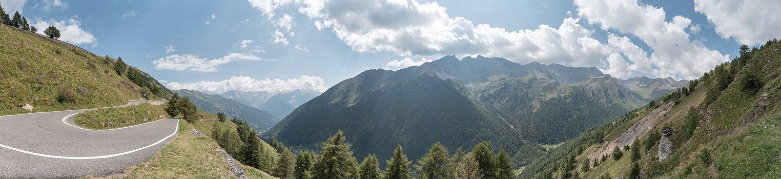
The ride begins at Ponte di Legno at 1243 m and climbs 17.4 km to the Gavia Pass at 2621 m, gaining 1376 m at an average gradient of 7.9%, with a maximum of 16.6%. The route passes through Zoanno (1.9 km), Precasaglio (2.7 km), Pezzo (4.2 km), and Sant'Apollonia (5.6 km). More than half the elevation gain occurs in the first half of the ride. The surface is predominantly paved (99%), with just 1% unpaved. The road is mainly main road (70%) including 12.3 km on SS300 without cycle lanes, with smaller sections on quiet streets (20%), paths (4%), tracks (3%), and cycle paths (3%). At Ponte di Legno, several cafés, food shops, bike rental, and a petrol station are available for refuelling and supplies. After km 10, there is a 7.6 km stretch without cafes, shops, or water, but drinking water is available at km 10, 17.6, and earlier springs at 2.2 km and 5.7 km. Toilets are located near km 6.3. The route lies beneath Monte Gaviola at 15.1 km, which rises to 3022 m.
Highlights
- Gavia Pass at 2621 m
- Monte Gaviola near 15 km
- Climb begins at Ponte di Legno
- Passes through Sant'Apollonia
Along the route
Places passed
On the road
Climbs
| Climb | Starts at | Length | Gain | Average | Max | Top |
|---|---|---|---|---|---|---|
| Ponte di Legno climb | 0.1 km | 17.4 km | 1376 m | 7.9 % | 16.6 % | 2621 m |
Ponte di Legno climb · starts at 0.1 km
Practical information
- Paved
- Point to point
- 1 h 15 min
- Jun to Sep — daily highs of 17–23 °C in those months
Know before you go
- 12.3 km on main roads without a cycle lane
- 7.6 km no café, shop or water after 10 km