
Col du Chaussy from Pontamafrey
- 14 km
- 1,031 m
- Moderate
- Paved
Elevation profile
- 1,031 m
- 14 km
Route overview
This ride suits cyclists ready for a sustained climb of 13.9 km with over 1000 m of elevation gain.
A 13.9 km climb to Col du Chaussy from Pontamafrey in France with 1031 m elevation gain.
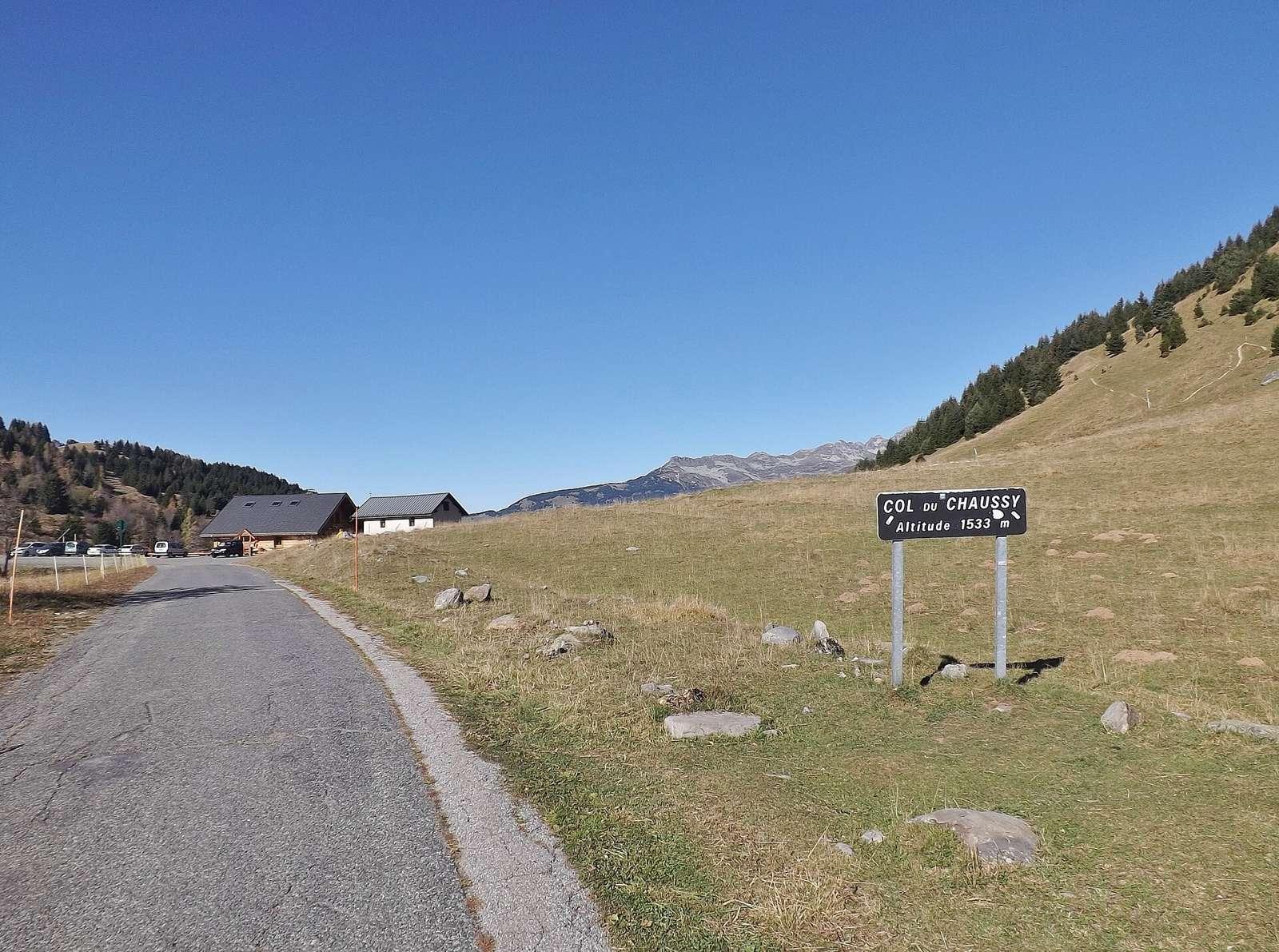
The ride starts in Pontamafrey (501 m) and quickly passes La Plantaz at 0.3 km. It then continues through Montvernier at 3.9 km, Le Noiret at 4.7 km, Montbrunal at 6.4 km, and Montpascal at 12 km. The climb extends nearly continuously for 13.7 km, gaining 1030 m to reach the summit at 1531 m. The average gradient is 7.5%, with stretches up to 11.9% steepness. The route is mostly on minor roads (95%) with a short section on a quiet street (4%). It primarily follows the D 77 and D 77b roads for 8 km and 3.4 km, respectively. The surface is almost entirely paved (99%) with 1% unpaved. Facilities near the route include two restaurants: Ô P'tits Lacets near the start and Chalet du Col du Chaussy at the finish. Drinking water is available at the start and at 6.4 and 12 km. Toilets are found at the start, 4.1 km, and the summit. The longest stretch without a café, shop, or water is 3.6 km from Pontamafrey.
Highlights
- Climb of 13.7 km with 1030 m ascent
- Steep sections up to 11.9% gradient
- Restaurants at start and summit
- Drinking water available at 0, 6.4 and 12 km
Along the route
Places passed
On the road
Climbs
| Climb | Starts at | Length | Gain | Average | Max | Top |
|---|---|---|---|---|---|---|
| Pontamafrey climb | 0.1 km | 13.7 km | 1030 m | 7.5 % | 11.9 % | 1531 m |
Pontamafrey climb · starts at 0.1 km
Practical information
- Paved
- Point to point
- 60 min
- May to Oct — daily highs of 18–27 °C in those months
Know before you go
- Longest stretch without café, shop or water is 3.6 km from start