
Vallnord from Ordino
- 12 km
- 691 m
- Easy
- Paved
Elevation profile
- 691 m
- 12 km
Route overview
This ride suits climbers who can handle a sustained 11.6 km ascent with 691 m of elevation gain.
An 11.6 km climb to Vallnord from Ordino in Andorra with 691 m of elevation gain.
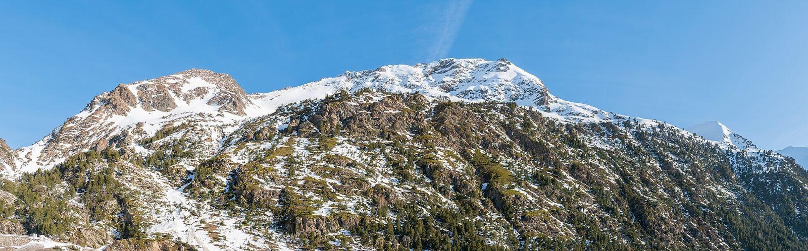
Starting in Ordino, the route quickly passes through Llorts at 0.5 km and Les Salines at 2.5 km, then El Serrat at 4.1 km. The main climb begins shortly after 0.9 km and continues for 10.6 km, gaining 690 m at an average gradient of 6.5% with sections up to 9.7%. The climb finishes near Vallnord at 2121 m elevation. The route surface is mostly paved (87%) with a small gravel or unpaved section (2%), and some stretches unmapped (11%). The majority of the distance (8.8 km) is on main roads without cycle lanes, specifically the CG-3, with smaller portions on paths, quiet streets, and minor roads. There is a café, Braseria La Neu, close to the start at 1.1 km and a restaurant, Restaurant Planells, near the finish at 10.2 km. Between 5.8 km and 10.2 km there is a longest stretch of 4.4 km without a café, shop or water. Drinking water points are available at 1.3 km and 5.8 km. Toilets are available near the start and at 9.2 km. A picnic site is located around 6 km off route. The climb lies beneath the peak of Les Portelles at 2523 m, near the top of the route.
Highlights
- Climb averaging 6.5% gradient over 10.6 km
- Passes through Llorts, Les Salines, El Serrat
- Final elevation of 2121 m near Les Portelles peak
- Longest stretch without food or water is 4.4 km
Along the route
Places passed
On the road
Climbs
| Climb | Starts at | Length | Gain | Average | Max | Top |
|---|---|---|---|---|---|---|
| Les Portelles | 0.9 km | 10.6 km | 690 m | 6.5 % | 9.7 % | 2121 m |
Les Portelles · starts at 0.9 km
Practical information
- Paved
- Point to point
- 50 min
- Jul to Sep — daily highs of 17–22 °C in those months
Know before you go
- 8.8 km on main roads without cycle lanes
- 4.4 km longest stretch without café, shop or water from km 5.8 to 10.2
- 2% of route on gravel or unpaved surface