
Col de Jau from Mosset
- 14 km
- 790 m
- Moderate
- Paved
Elevation profile
- 790 m
- 14 km
Route overview
This route suits riders prepared for a sustained 13 km climb with 790 m elevation gain.
13.8 km climb from Mosset to Col de Jau in France, gaining 790 m.
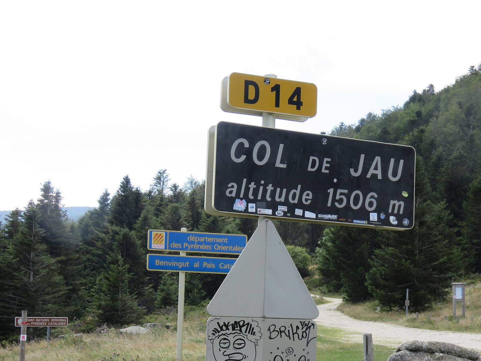
Starting in Mosset, the ride quickly reaches the beginning of the climb at 0.7 km. The route then ascends 13.1 km to the Col de Jau at 1498 m altitude, with an average gradient of 6%, and a maximum gradient of 9.4%. The climb accounts for 95% of the route and involves sustained climbing over 10.3 km at gradients above 5%, including 1.4 km above 8% and a short 0.1 km section over 10%. The elevation rises from 708 m near the start to 1498 m at the top. The surface is 97% paved, mostly on a main road (D 14), which makes up 94% of the distance. The first 0.5 km is on a quiet street in Mosset. There is 12.9 km on main roads without cycle lanes. For services, there is a restaurant (Bistrot de la Castellane), convenience store, drinking water, and toilets near the start within about 120 m off the route. There are no shops or cafes beyond 0.2 km, so the longest stretch without these is 13.6 km. Along the climb, there are ruins called Tour de Mascarda at 3 km and an archaeological site Dolmen du col de Jau at 13.7 km just before the summit.
Highlights
- Col de Jau summit at 1498 m
- Tour de Mascarda ruins at 3 km
- Dolmen du col de Jau archaeological site at 13.7 km
- Average gradient 6% over 13.1 km climb
Along the route
On the road
Climbs
| Climb | Starts at | Length | Gain | Average | Max | Top |
|---|---|---|---|---|---|---|
| Mosset climb | 0.7 km | 13.1 km | 789 m | 6 % | 9.4 % | 1498 m |
Mosset climb · starts at 0.7 km
Practical information
- Paved
- Point to point
- 59 min
- Jun to Oct — daily highs of 18–26 °C in those months
Know before you go
- 13.6 km stretch with no café, shop or water after 0.2 km
- 12.9 km on main roads without a cycle lane
- Maximum gradient 9.4%
- Short 0.1 km section over 10% gradient