
Col de Sarenne from Mizoën
- 12 km
- 798 m
- Moderate
- Paved
Elevation profile
- 798 m
- 12 km
Route overview
This ride suits cyclists ready for a continuous climb of 11.7 km with nearly 800 m elevation gain.
Col de Sarenne climb from Mizoën, France, 11.7 km with 798 m ascent.
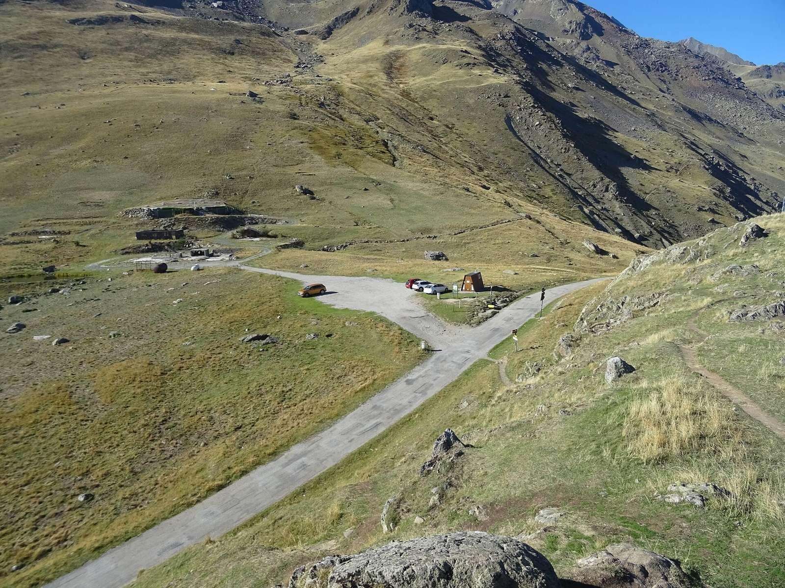
The route starts at Mizoën (1187 m) and ascends 11.7 km to the Col de Sarenne summit at 1985 m, gaining 798 m. It passes through Clavans-le-Bas at 3.2 km and Clavans-le-Haut at 5.1 km. The climb averages 6.9% gradient with sections up to 10.1%, mostly uphill with 93% of the route climbing, 1% descending, and 6% flat. The first half accounts for 49% of the elevation gain. Nearly all of the route is on minor roads with 99% paved surface and a very short unpaved section. There is a restaurant/bar called Les Ors just off the start at 0.1 km. Water and toilets are available at the start and at points around 3.2 and 4.8 km. After 5.2 km there is a 6.5 km stretch without cafés, shops or water until the summit.
Highlights
- Col de Sarenne summit at 1985 m
- Clavans-le-Bas at 3.2 km
- Clavans-le-Haut at 5.1 km
- 798 m elevation gain over 11.7 km
Along the route
Places passed
On the road
Climbs
| Climb | Starts at | Length | Gain | Average | Max | Top |
|---|---|---|---|---|---|---|
| Mizoën climb | 0.1 km | 11.6 km | 797 m | 6.9 % | 10.1 % | 1985 m |
Mizoën climb · starts at 0.1 km
Practical information
- Paved
- Point to point
- 50 min
- Jun to Sep — daily highs of 18–23 °C in those months
Know before you go
- 6.5 km without café, shop or water from km 5.2 to km 11.7