
Port de Balès from Mauléon-Barousse
- 19 km
- 1,168 m
- Moderate
- Paved
Elevation profile
- 1,168 m
- 19 km
Route overview
This route suits experienced climbers comfortable with sustained gradients over 19 km.
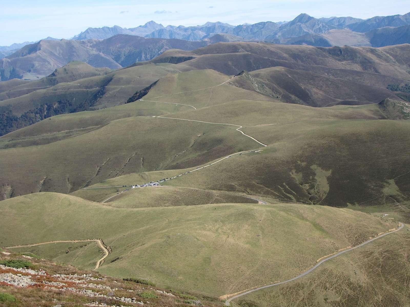
19.2 km climb to Port de Balès from Mauléon-Barousse in France with 1168 m elevation gain.
The route starts at Mauléon-Barousse at 580 m elevation and climbs 2.2 km at an average gradient of 4.5%, gaining 97 m to 677 m. It then continues for 16.5 km more, climbing 1069 m at an average gradient of 6.5%, reaching a maximum elevation of 1748 m near the end at 19.1 km. The road is almost entirely paved (99%) and runs mainly on minor roads, with 18.7 km on the named road D 925. Climbing accounts for 94% of the route, with 11.1 km over 5% gradient, 5.9 km over 8%, and 2.6 km over 10% gradient. There is very little descending (1%) and flat sections (5%). Facilities near the start include the restaurant Hôtel des Pyrénées, a pizzeria, a petrol station, and a water tap. There is also a water tap at 3.2 km. From 3.2 km to the finish at 19.1 km there is no café, shop, or water for 15.9 km. Near the end is the café Le Petit Refuge at 19.1 km and the peak Montagne de Séuès 336 m off route at 17.3 km. The attraction Gouffre de Saoule lies 26 m off route at 1.1 km. The road surface is nearly all paved minor road with no significant bail out points indicated.
Highlights
- Port de Balès summit at 1748 m
- Climb from 580 m to 1748 m over 19.2 km
- Gouffre de Saoule at 1.1 km off route
- Montagne de Séuès peak near route at 17.3 km
Along the route
Places passed
On the road
Climbs
| Climb | Starts at | Length | Gain | Average | Max | Top |
|---|---|---|---|---|---|---|
| — | 0 km | 2.2 km | 97 m | 4.5 % | 8.8 % | 677 m |
| Ferrère climb | 2.6 km | 16.5 km | 1069 m | 6.5 % | 11.5 % | 1748 m |
Ferrère climb · starts at 2.6 km
Practical information
- Paved
- Point to point
- 1 h 22 min
- May to Oct — daily highs of 18–25 °C in those months
Know before you go
- 15.9 km without café, shop or water after 3.2 km
- 18.7 km on D 925 road