Cyclists.com

Finhaut from Martigny

Martigny, SwitzerlandRoad

Routed from the map This classic road was traced on OpenStreetMap and measured against the terrain model; no member has recorded it yet. Ridden it? Add your recording and photos.

31 km
Distance
2,047 m
Elevation gain
Hard
Difficulty
Paved
Surface
Download GPXMap

Elevation profile

Total ascent
2,047 m
Distance
31 km
05001,0001,5002,0002,500m0 km102031 km2,020 m · highest, at 30.5 kmStartFinish

Route overview

This ride suits cyclists capable of sustained, steep climbing over 2047 m in 30.5 km.

A 30.5 km ride from Martigny, Switzerland, climbing 2047 m to Finhaut.

The route starts at Martigny at 475 m and immediately faces a steep climb beginning at 1.5 km that lasts for 10.2 km, gaining 1035 m at an average gradient of 10.2% with a maximum of 22.6%, reaching 1525 m. This first climb accounts for more than half the elevation gain. After a descent of up to 3.5 km starting around 14.5 km, the second climb starts at 17.7 km, rising 939 m over 12 km at an average of 7.9% with a maximum of 14.5% towards the peak elevation of 2019 m reached near 29.7 km. The ride finishes near the Lac d'Émosson dam area. The surface is predominantly paved (92%) with minor gravel or unpaved sections (6%) and a small amount unmapped (2%). The route primarily uses minor roads (55%), main roads (27%) without cycle lanes along 8 km, quiet streets (10%), paths and tracks (9%). The longest named roads are the 203 and Route d'Émosson, each ridden for 8.5 km. The route passes through multiple small places including Plan-Cerisier, Martigny-Croix, and Le Perrey early on. Food and drink options include a bakery and supermarket near the start, and restaurants and cafés at 8.9, 13.3, 19.9 and 28.3 km. Water points are available four times en route. Bailout points are at Martigny-Croix (2.2 km), Finhaut (20.5 km) and Lac d'Émosson (28.3 km).

Highlights

  • Steep first climb: 10.2 km at 10.2%, max 22.6%
  • Second climb: 12 km gain of 939 m at 7.9%
  • Start at Martigny (475 m)
  • Finish near Lac d'Émosson at 2019 m

Along the route

Measured from the recorded track and OpenStreetMap.

Places passed

  1. Plan-Cerisier 2.7 km
  2. La Crette 2.7 km
  3. Martigny-Croix 2.7 km
  4. Le Perrey 3 km
  5. Les Pâles-Plan Cerisier 3 km
  6. Les Rappes 3.3 km
  7. Le Brocard 3.9 km
  8. Pied du Château 3.9 km
  9. La Fontaine 4.8 km
  10. Le Cergneux 5.7 km
  11. Le Fays 6.7 km
  12. Chanton 6.9 km
  13. La Caffe 9.7 km
  14. Col de la Forclaz 11.9 km
  15. Trient 13.3 km
  16. Trouléro 16.4 km
  17. Les Jeurs 16.8 km
  18. Le Taque 17.2 km
  19. Finhaut 20.5 km
  20. Le They 21.3 km
  21. Les Fontaines 21.8 km
  22. La Léchère 22.5 km

On the road

  • Kwong-Ming (Restaurant) 0 km
  • Au Grotto (Restaurant) 0 km
  • Yakito (Restaurant) 0 km
  • Water 0 km
  • Café du Pont (Café) 0 km
  • À ma sauce (Restaurant) 0 km
  • Café Du Midi (Restaurant) 0.2 km
  • La Nonna (Restaurant) 0.2 km
  • Chez Don Pasquale Café des Alpes (Restaurant) 0.2 km
  • O Petit Thaï (Restaurant) 0.2 km
  • Jonas (Restaurant) 0.2 km
  • Le Loup Blanc (Restaurant) 0.2 km

Climbs

ClimbStarts atLengthGainAverageMaxTop
Plan-Cerisier climb1.5 km10.2 km1035 m10.2 %22.6 %1525 m
Le Taque climb17.7 km12 km939 m7.9 %14.5 %2019 m

High point 2019 m at 29.7 km; low point 475 m.

Plan-Cerisier climb · starts at 1.5 km

10.2 km at 10.1% · 1038 m
6008001,0001,2001,400m11%10.0%17%8.4%7.7%7.9%12%9.8%0 km12345678910.2 km1,526 msteepest 17.5%
< 4%4 – 7%7 – 10%> 10%

Le Taque climb · starts at 17.7 km

12 km at 7.9% · 939 m
1,2001,4001,6001,8002,000m11%8.8%9.7%8.8%9.4%9.5%11%-3.7%11%0 km123456789101112.0 km2,019 msteepest 11.0%

Practical information

Surface
Paved
Route shape
Point to point
Riding time
2 h 11 min

Know before you go

  • 8 km on main roads without cycle lane
  • 7.3 km on roads with 80 km/h+ speed limit
  • 6.4 km longest stretch without café, shop or water from 2.5 to 8.9 km

Routes are for inspiration. Roads, surfaces and conditions change — check locally and ride within your limits.

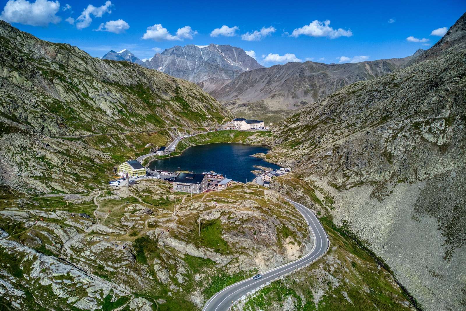
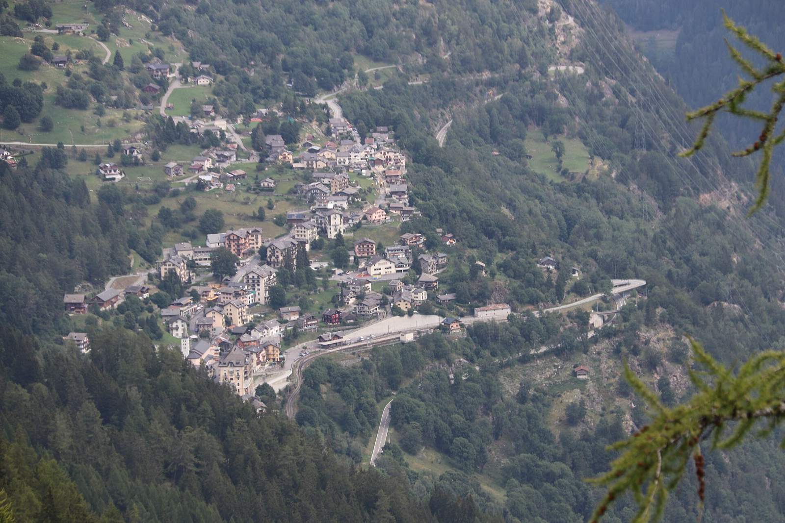
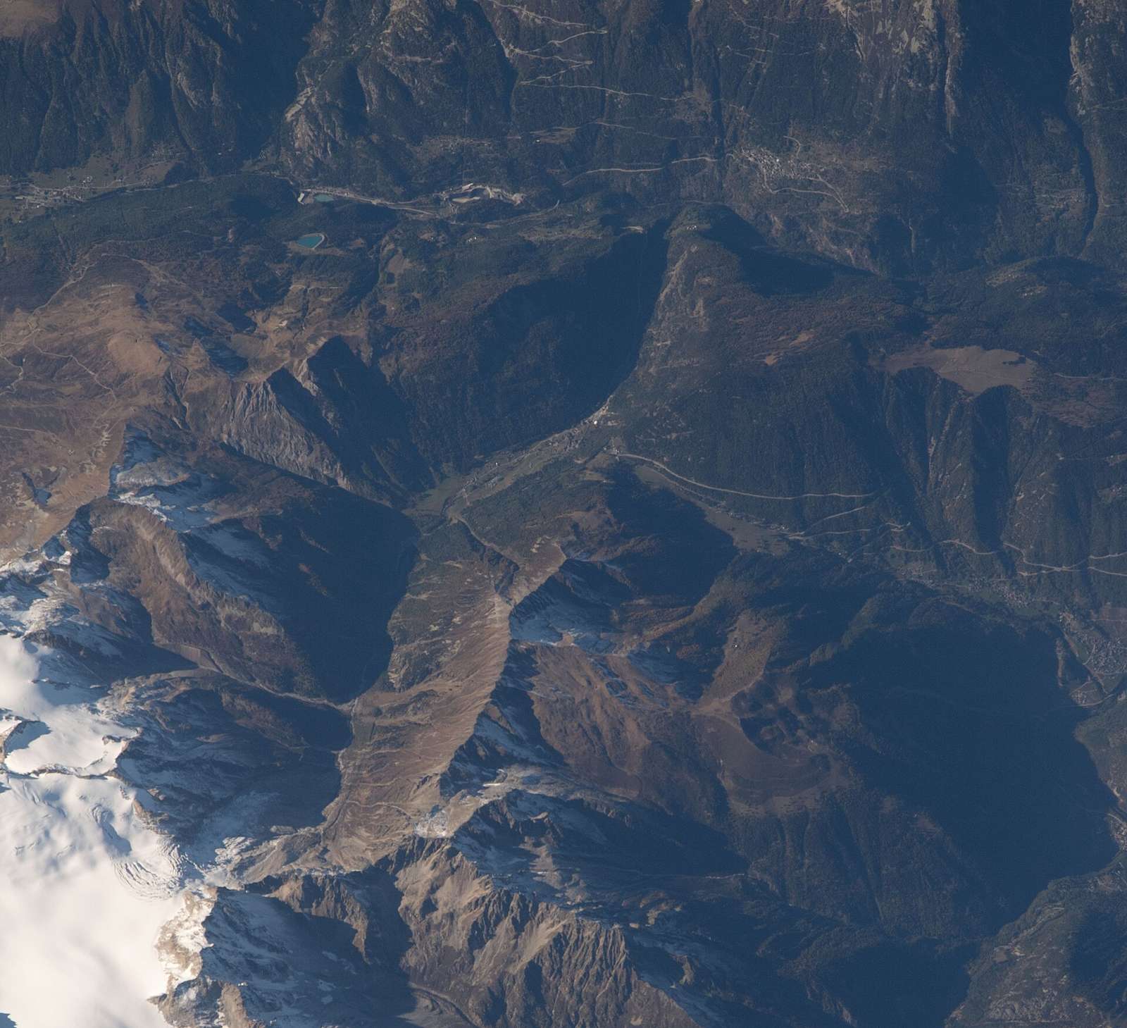
2 photographs from the road

Photo: Markus Giger · CC BY-SA 4.0 · Wikimedia Commons · Photo: Jag9889 · CC BY-SA 4.0 · Wikimedia Commons · Photo: Rémih · CC BY-SA 4.0 · Wikimedia Commons

More rides from Martigny