
Cyclists.com

Horseshoe Pass from Llangollen

Llangollen, United KingdomRoad

Routed from the map This classic road was traced on OpenStreetMap and measured against the terrain model; no member has recorded it yet. Ridden it? Add your recording and photos.

7 km
Distance
292 m
Elevation gain
Easy
Difficulty
Paved
Surface
Download GPXMap

Elevation profile

Total ascent
292 m
Distance
7 km
0100200300400m0 km2467 km376 m · highest, at 7.1 kmStartFinish

Route overview

This ride suits cyclists looking for a moderate 7 km climb with 292 m of elevation gain.

A 7.1 km climb from Llangollen to the Horseshoe Pass in the UK, gaining 292m elevation.

Starting from Llangollen at 84m elevation, the route immediately faces a climb beginning at 1.2 km that rises 285m over 5.9 km to reach 376m at the Horseshoe Pass. The average gradient of the climb is 4.8%, with a maximum of 8.7% and the steepest 500m section at 8.6% around 4.5 km. The route is fully paved and mainly follows the A542 for 6 km, with 93% on main roads and 7% on quiet streets. The road mostly climbs, with 69% uphill, 1% descending, and 30% flat. There are 3.3 km with gradients over 5% and 1.1 km over 8%. The ride includes 2.2 km sections where the speed limit is 80 km/h or more. Facilities at the start in Llangollen include cafés, bike shops, toilets, a supermarket, and a petrol station. The longest section without café, shop, or water runs for 2.8 km from 4.3 km to the top at 7.1 km. Nearby peaks along the route include Barber's Hill at 340m near 0.9 km, Llwyn Twr at 200m near 1.7 km, Velvet Hill at 230m near 2.7 km, Fron Fawr at 378m near 3.7 km, and Moel y Faen at 548m near the top at 7.1 km.

Highlights

  • Climb of 5.9 km gaining 285 m
  • Top at Horseshoe Pass, 376 m elevation
  • Peaks nearby: Barber's Hill, Fron Fawr, Moel y Faen
  • Route follows 6 km of A542 main road

Along the route

Measured from the recorded track and OpenStreetMap.

On the road

  • M'eating Point (Café) 0 km
  • Texaco (Fuel station) 0 km
  • Gradient (Café) 0 km
  • The Gallery Restaurant (Restaurant) 0 km
  • Vintage Rose (Café) 0 km
  • Let's Avocuddle (Café) 0 km
  • George’s Cafe (Café) 0 km
  • Adyan Tandoori Restaurant (Restaurant) 0 km
  • Dee Pizza (Restaurant) 0 km
  • S & G Bistro & Pizzeria (Café) 0.2 km
  • Fouzi's (Café) 0.3 km
  • Room 29 (Restaurant) 0.3 km

Climbs

ClimbStarts atLengthGainAverageMaxTop
Moel y Faen1.2 km5.9 km285 m4.8 %8.7 %376 m

High point 376 m at 7.1 km; low point 84 m. Passes beneath Barber's Hill, Llwyn Twr, Velvet Hill.

Moel y Faen · starts at 1.2 km

5.9 km at 4.8% · 285 m
100150200250300350m8.0%6.1%7.5%0 km123455.9 km375 msteepest 8.0%
< 4%4 – 7%7 – 10%> 10%

Practical information

Surface
Paved
Route shape
Point to point
Riding time
30 min
Best months
May to Sep — daily highs of 16–20 °C in those months

Know before you go

  • 6.6 km on main roads without cycle lane
  • 2.2 km on roads with 80 km/h+ speed limit
  • Longest stretch without café or shop for 2.8 km from 4.3 to 7.1 km

Routes are for inspiration. Roads, surfaces and conditions change — check locally and ride within your limits.

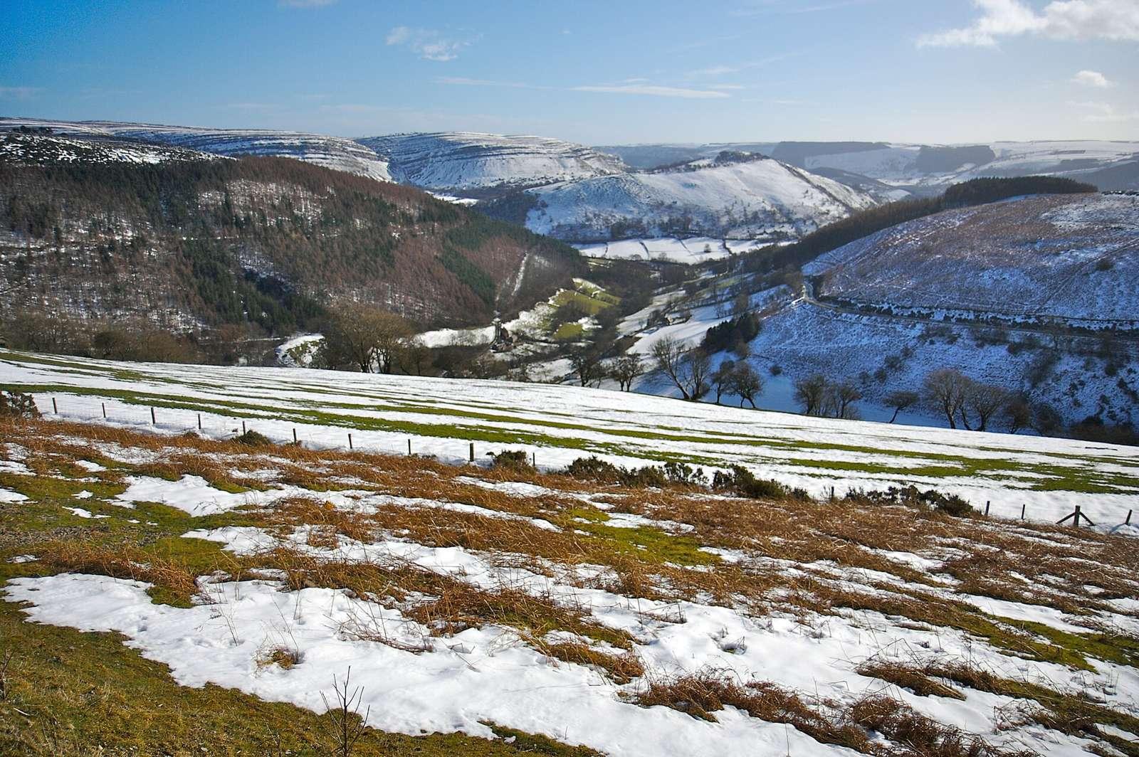
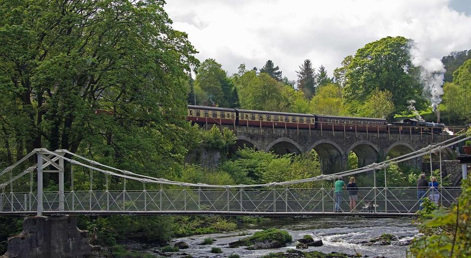
2 photographs from the road

Photo: Simon · Public domain · Wikimedia Commons · Photo: Llywelyn2000 · CC BY-SA 4.0 · Wikimedia Commons · Photo: Zindor · CC BY-SA 4.0 · Wikimedia Commons

More rides from Llangollen