
Col de Braus from L'Escarène
- 10 km
- 641 m
- Easy
- Paved
Elevation profile
- 641 m
- 10 km
Route overview
This ride suits cyclists prepared for a sustained 10 km climb with moderate to steep gradients.
A 10.4 km climb from L'Escarène to Col de Braus in France with 641 m elevation gain.
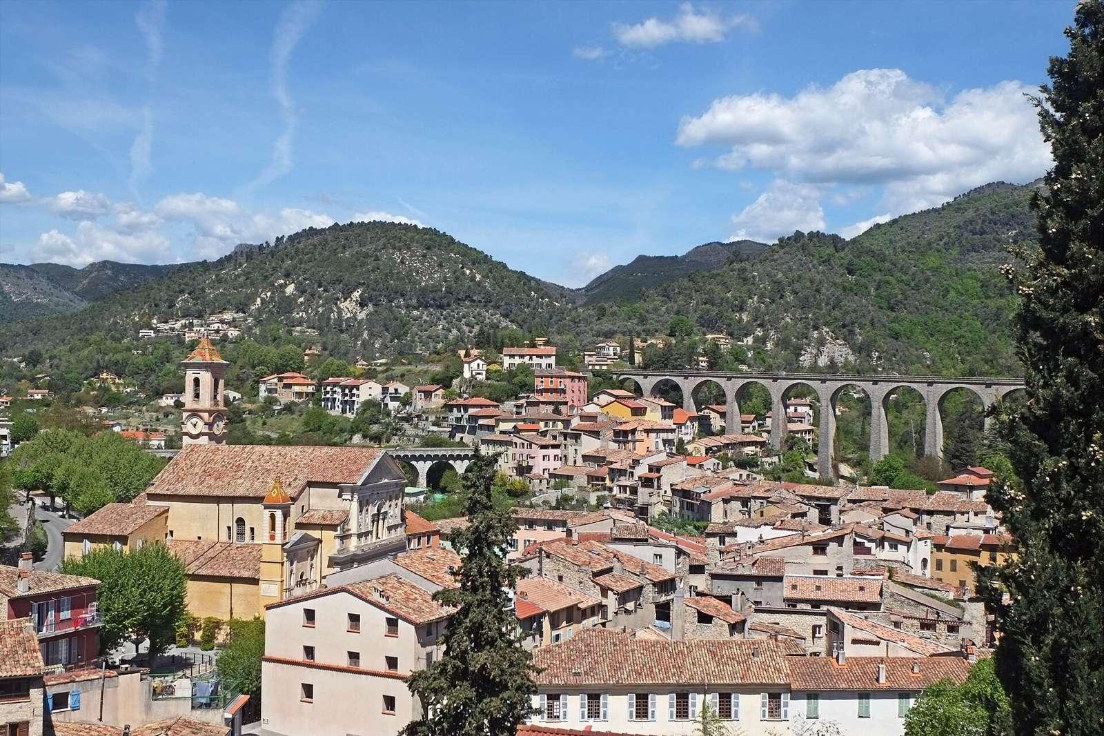
The route starts at L'Escarène at 348 m and climbs continuously for just over 10 km to reach 989 m at Col de Braus. The climb gains 641 m at an average gradient of 6.4%, with the steepest sections reaching 9.6%. The profile features mostly climbing with 60% of the elevation gained in the first half, and a negligible amount of descending or flat sections. The surface is primarily paved, covering 95% of the route, with a small portion (3%) on gravel or unpaved. Nearly all of the route, 9.7 km, is on a main road (mostly D 2204), and this entire stretch lacks a cycle lane. There are 7.9 km on roads with posted speed limits of 80 km/h or more. At the start in L'Escarène, there is a bakery (Pain D'Aqui), a Spar convenience store, a bar, toilets, and a station. Drinking water is accessible at 1.9 km and again at 6.2 km. The longest stretch without café, shop, or water is 4.3 km from 1.9 km to 6.2 km. Near the route at 4.2 km is the Cascade de Redebraus attraction. A bike repair stand is located at 10.3 km, close to the top of the climb. There are bailout points available at L'Escarène station.
Highlights
- Climb of 641 m over 10.1 km
- Cascade de Redebraus at 4.2 km
- Mont Brec nearby at 9 km
- Bike repair stand near the top at 10.3 km
Along the route
Places passed
On the road
Climbs
| Climb | Starts at | Length | Gain | Average | Max | Top |
|---|---|---|---|---|---|---|
| L'Escarène climb | 0 km | 10.1 km | 641 m | 6.4 % | 9.6 % | 989 m |
L'Escarène climb · starts at 0 km
Practical information
- Paved
- Point to point
- 45 min
- Apr to Oct — daily highs of 17–28 °C in those months
Know before you go
- 9.7 km on main roads without cycle lane
- 7.9 km on roads with 80 km/h+ speed limit
- 4.3 km longest stretch without café, shop or water between 1.9 km and 6.2 km
- 1.8 km with gradients over 8%