
Col d'Aubisque from Laruns
- 17 km
- 1,192 m
- Moderate
- Paved
Elevation profile
- 1,192 m
- 17 km
Route overview
Suitable for experienced cyclists able to handle a sustained climb of 1192 m over 17 km.
Ride 17.2 km from Laruns to Col d'Aubisque in France with 1192 m climbing.
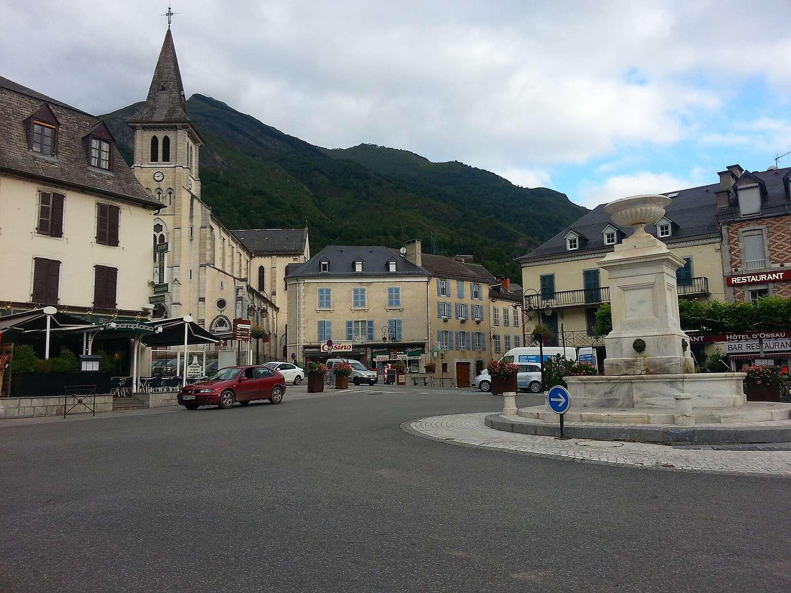
The route begins in Laruns at 511 m and quickly passes Pon (1.3 km) and Villa Caprice (1.6 km) before reaching the start of the main climb. From Pon, the Col d'Aubisque climb extends 15.8 km gaining 1191 m with an average gradient of 7.5%, including sustained stretches over 5% (13.9 km), over 8% (7.7 km) and some sections up to 10.9% max gradient. The road climbs beside the peak Soum de Grum at 1870 m, passing through Aas (3.2 km), Eaux-Bonnes (4.5 km), and Gourette (12.9 km) on mostly paved surfaces (96%), mainly on main roads (81%) including 11.9 km on the D 918. The climb finishes at 1702 m at 17.1 km near the Col d'Aubisque summit.
Highlights
- Col d'Aubisque climb 15.8 km, 1191 m gain
- Soum de Grum peak near route at 1870 m
- Villages Pon, Aas, Eaux-Bonnes on route
- D 918 road for 11.9 km on main roads
Along the route
Places passed
On the road
Climbs
| Climb | Starts at | Length | Gain | Average | Max | Top |
|---|---|---|---|---|---|---|
| Soum de Grum | 1.3 km | 15.8 km | 1191 m | 7.5 % | 10.9 % | 1702 m |
Soum de Grum · starts at 1.3 km
Practical information
- Paved
- Point to point
- 1 h 14 min
- May to Oct — daily highs of 18–24 °C in those months
Know before you go
- 7.3 km stretch without café, shop or water from 5.4 to 12.7 km
- 13.9 km on main roads without cycle lanes