
Col de la Bonette from Jausiers
- 23 km
- 1,483 m
- Hard
- Paved
Elevation profile
- 1,483 m
- 23 km
Route overview
Suitable for riders prepared for a sustained 22.5 km climb with nearly 1500 m elevation gain.
Climb Col de la Bonette from Jausiers, France, 22.5 km with 1483 m gain to 2701 m altitude.
Starting from Jausiers at 1218 m, the route ascends steadily over 21.7 km, gaining 1482 m at an average gradient of 6.8%, reaching the highest point at 2701 m near the summit of Col de la Bonette. The climb is almost continuous with 19.1 km over 5% gradient and 5.5 km over 8%, maxing out at 9.7%. The road surface is primarily paved (99%), mostly on C 1, with approximately 11.8 km having a cycle lane and 10.1 km on main roads without cycle lanes.
Highlights
- Peak Roche Madeleine at 16 km off-route
- Ruins of Caserne de Restefond near 19.2 km
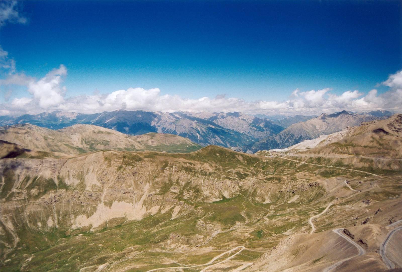
- Summit Col de la Bonette at 2701 m
- Near peaks Le Mourre Haut and Sommet de Restefond
Along the route
Places passed
On the road
Climbs
| Climb | Starts at | Length | Gain | Average | Max | Top |
|---|---|---|---|---|---|---|
| Cime de la Bonette | 0.3 km | 21.7 km | 1482 m | 6.8 % | 9.7 % | 2701 m |
Cime de la Bonette · starts at 0.3 km
< 4%4 – 7%7 – 10%> 10%
Cime de la Bonette · starts at 0.4 km
Practical information
- Paved
- Point to point
- 1 h 36 min
- Jul to Sep — daily highs of 19–25 °C in those months
Know before you go
- Longest stretch with no café, shop, or water from 14.6 km for 7.7 km
- 10.1 km on main roads without a cycle lane
- Steep sustained gradient: 5.5 km over 8%
- Short gravel or unpaved section, 1% of route