
Road · From the map · France
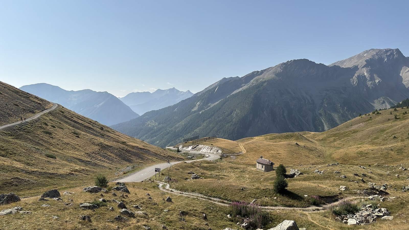
This ride suits cyclists looking for a challenging 20 km climb with over 1100 m of elevation gain.
A 19.6 km climb from Guillestre to Col de Vars in France, gaining 1124 m at an average gradient of 6.9% and 5.5%.
The route starts in Guillestre at 1007 m and climbs steadily for 19.6 km to Col de Vars at 2109 m. The first 9.4 km climb gains 648 m at an average of 6.9%, with maximum gradients of 10.9%. This is followed by a shorter climb of 8.7 km gaining 475 m at 5.5% average and max 8.4%, reaching the highest point at 19.5 km. The route mainly follows the D 902 main road for 18 km, with 92% on main roads and a small section of 0.7 km on a quiet street. It is 98% paved with a small 2% section of gravel or unpaved. There are 18 km on main roads without a cycle lane and 11.7 km on roads with speed limits of 80 km/h or more. Starting in Guillestre there are cafés, bakeries, shops, water, toilets, a petrol station and bike repair stands available. The longest stretch without café, shop or water is from 0.4 to 8.5 km (8.1 km). Further up, shops and water points reappear near Vars and Les-Claux, with a restaurant at the finish.
| Climb | Starts at | Length | Gain | Average | Max | Top |
|---|---|---|---|---|---|---|
| Guillestre climb | 0.1 km | 9.4 km | 648 m | 6.9 % | 10.9 % | 1656 m |
| Saint-Marcellin climb | 10.8 km | 8.7 km | 475 m | 5.5 % | 8.4 % | 2109 m |